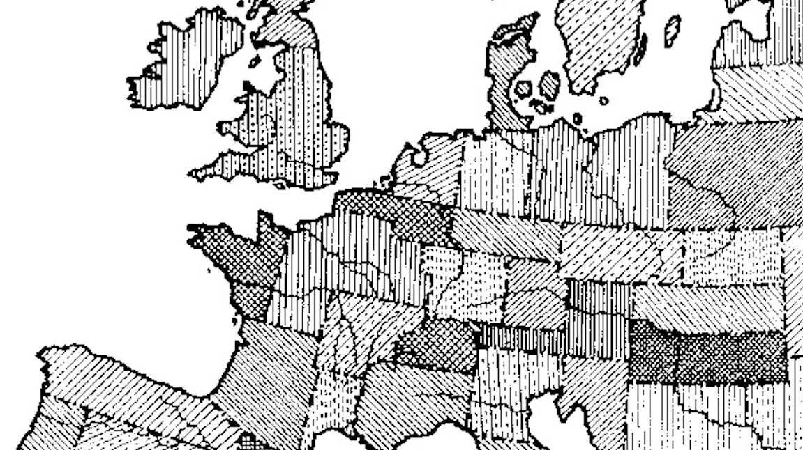
Post #12 shows a map identifying three core areas of Europe with transition zones in between. This map here has a different approach to European cultural diversity. On the one […]
All Articles
Beyond the pale is an English expression for anything beyond the limits of the law or of accepted morality. The aforementioned ‘pale’, far from being a symbolic separator, at one time […]
This map is yet another dissection of Europe, this time focussing on the north-south divides in the continent. Some of the boundaries here were already present in one or both […]
All results of a nationwide election in the US can usually be translated into a ‘binary’ map, divided into red states (Republican, mainly in the middle) and blue states (Democratic, […]
I don’t remember where I got this map from, but the context seems quite straightforward. The two figures in the foreground are saying “ein Geschwür!” (literally: “an ulcer”) and “Da […]
‘Volkstaat’ is Afrikaans for People’s state – the people in this case being the white South Africans who identify themselves as ‘Afrikaners’ (mainly descendents of Dutch settlers, speaking a language […]
Funny how something as arbitrary as map orientation can skew the perception of countries. On this map, from the vaults of the Perry-Castañeda Library Map Collection at the University of […]
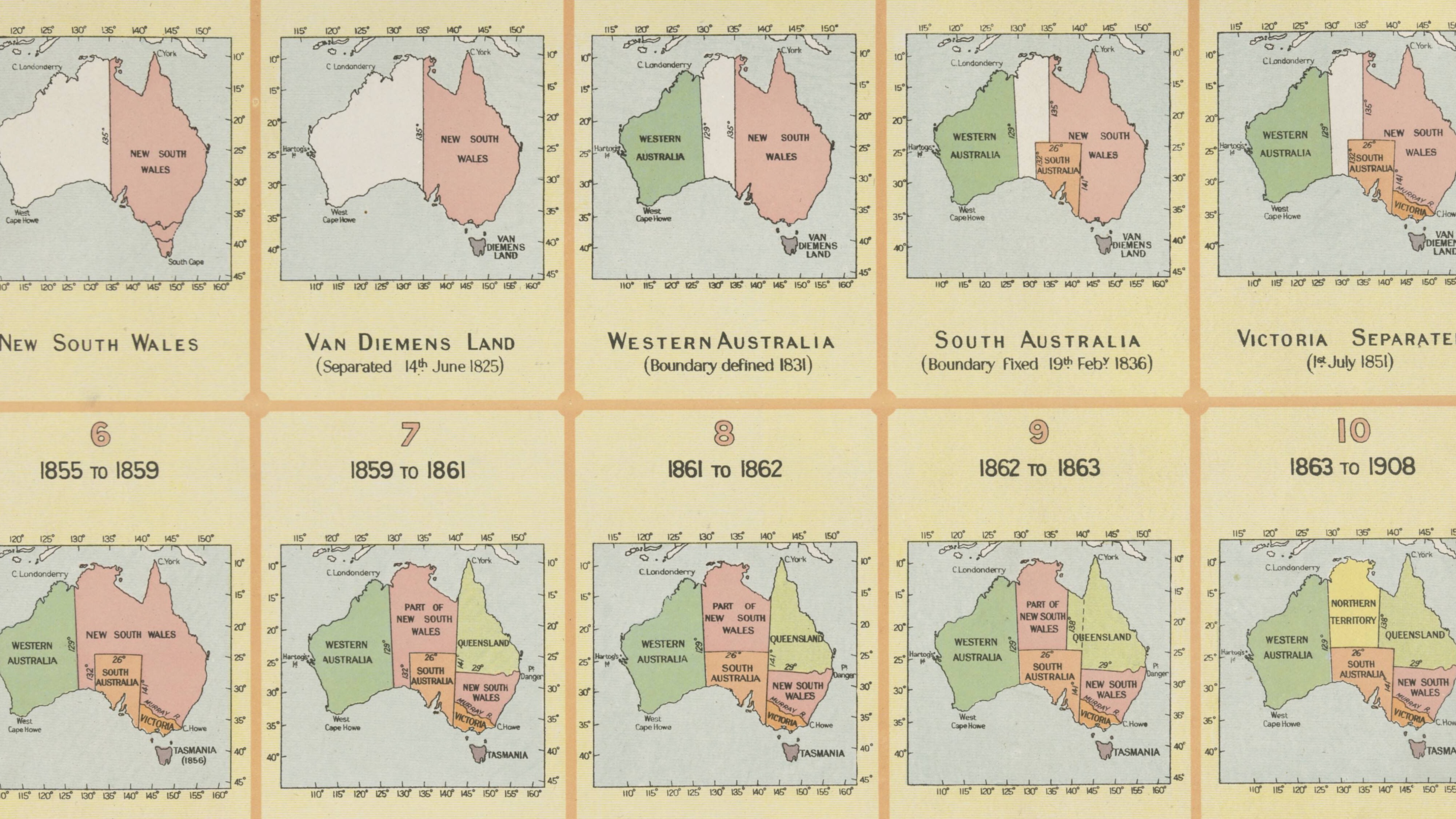
Now one of the smaller states, it once covered half the continent
Finland gained independence from Russia right after the Bolshevik Revolution of 1917. A civil war ensued, along the lines of the post-revolution conflict in Russia itself: ‘Reds’ against ‘Whites’. The […]
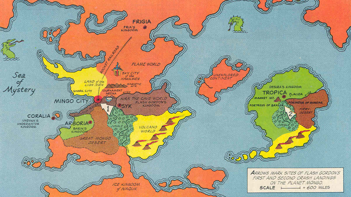
If you crave adventure, you couldn’t wish for a better alien planet on which to crash-land
Double taxation without representation? No wonder this grey area declared its independence.
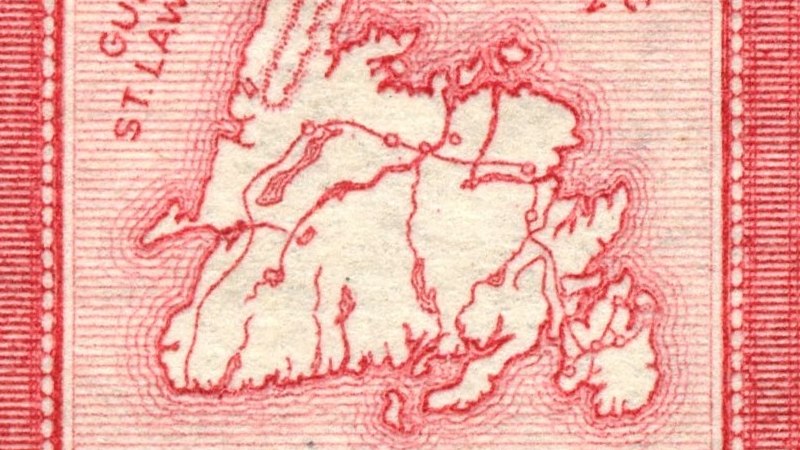
Not so much strange as just darn purty, this map of Newfoundland on a postage stamp, probably dating from before 1949, when it became a province of Canada (this happened […]
Belgium sits astride one of the main cultural fault lines of Europe, consisting roughly of a northern half that speaks Dutch and is oriented towards the ‘anglosphere’ and a southern […]
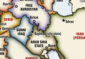
I was alerted to these maps by a Turkish gentleman, who posts them on his website. They are a reaction to the map of the Middle East, re-drawn as it […]
At 8.511.965 km², Brazil is the 5th largest country on earth, the larger ones being Russia, Canada, the US and China (in that order). The country conjures up mostly images […]
Had Franz Ferdinand not been assassinated in Sarajevo, he might have pushed through this plan, and the empire might have survived
Leopold Kohr, who championed the principle ‘small is beautiful’, also applied it to geopolitics
One last map by Leopold Kohr, also an addendum to his book ‘The Breakdown of Nations’ (1957). Kohr probably realised that dividing Europe into rectangular, US-style states would clash with […]
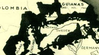
What would Europe have looked like, had Imperial Germany won World War One? This image is taken off a French magazine at the start of the war, painting an exaggerated […]
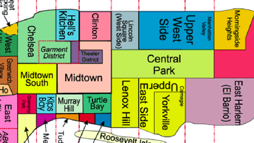
Any and every American city is built up out of Avenues and Streets, most of them numbered. A much nicer way to describe a city is by mapping its neighbourhoods. […]
The British tried their hand at subduing Afghanistan in the 19th Century, when the Empire was at the top of its game. Their troops were massacred (with one man left […]
An interesting look at the religions and language groups that are elements of division (and union) in Europe. The mapmaker wanted to make a point by indicating three ‘core areas’ […]
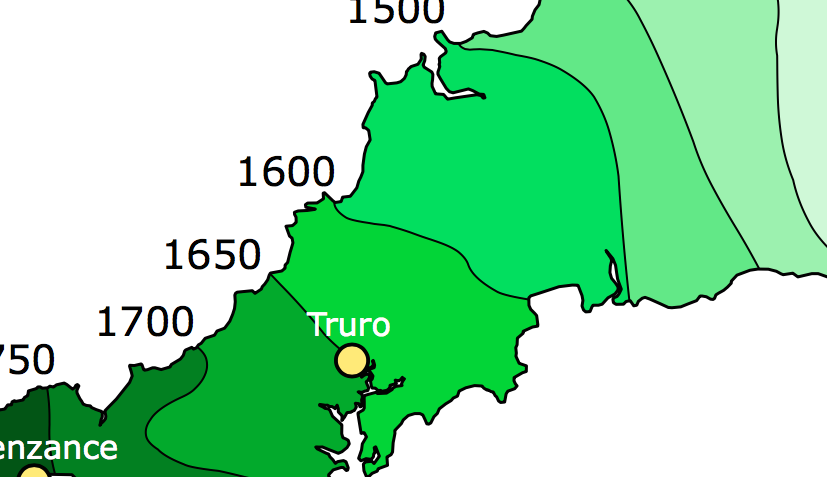
Cornwall is the southwesternmost county of England. As with other ‘extremities’ of the British Isles, it was one of the refuges of the original (partially romanized) Celtic inhabitants, fleeing before […]
The meme that captured the 2004 post-election blues.
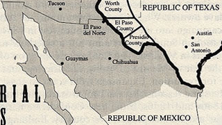
Texas is a special state within the US – not only the biggest of the contiguous 48 states, but also culturally distinct. Furthermore, it was at one time an independent […]
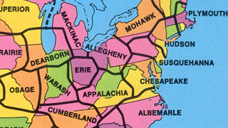
In the 1970s, geography professor G. Etzel Pearcy proposed redrawing the borders of the US states, reducing them from 50 to 38.
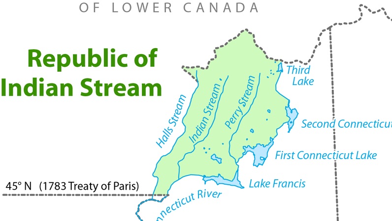
So you’re a map nerd and you think you know about every cartographic anomaly in the world, from the bizarre Belgian enclave of Baarle-Hertog in the south of the Netherlands […]
The Albanians are descendants of the Illyrians, an ancient Balkan people who preceded the Slavic populations surrounding their native territories. They presently have an independent nation – Albania, in their […]
The Americans are sinking into a quagmire of their own making in Iraq, but still fantasise about re-drawing the map of the whole Middle East more to their liking. One […]
BP/Transocean’s concern for rig workers is touching. Key alarm systems on the Deepwater Horizon were disabled to “help workers sleep”: Vital warning systems on the Deepwater Horizon oil rig were […]
