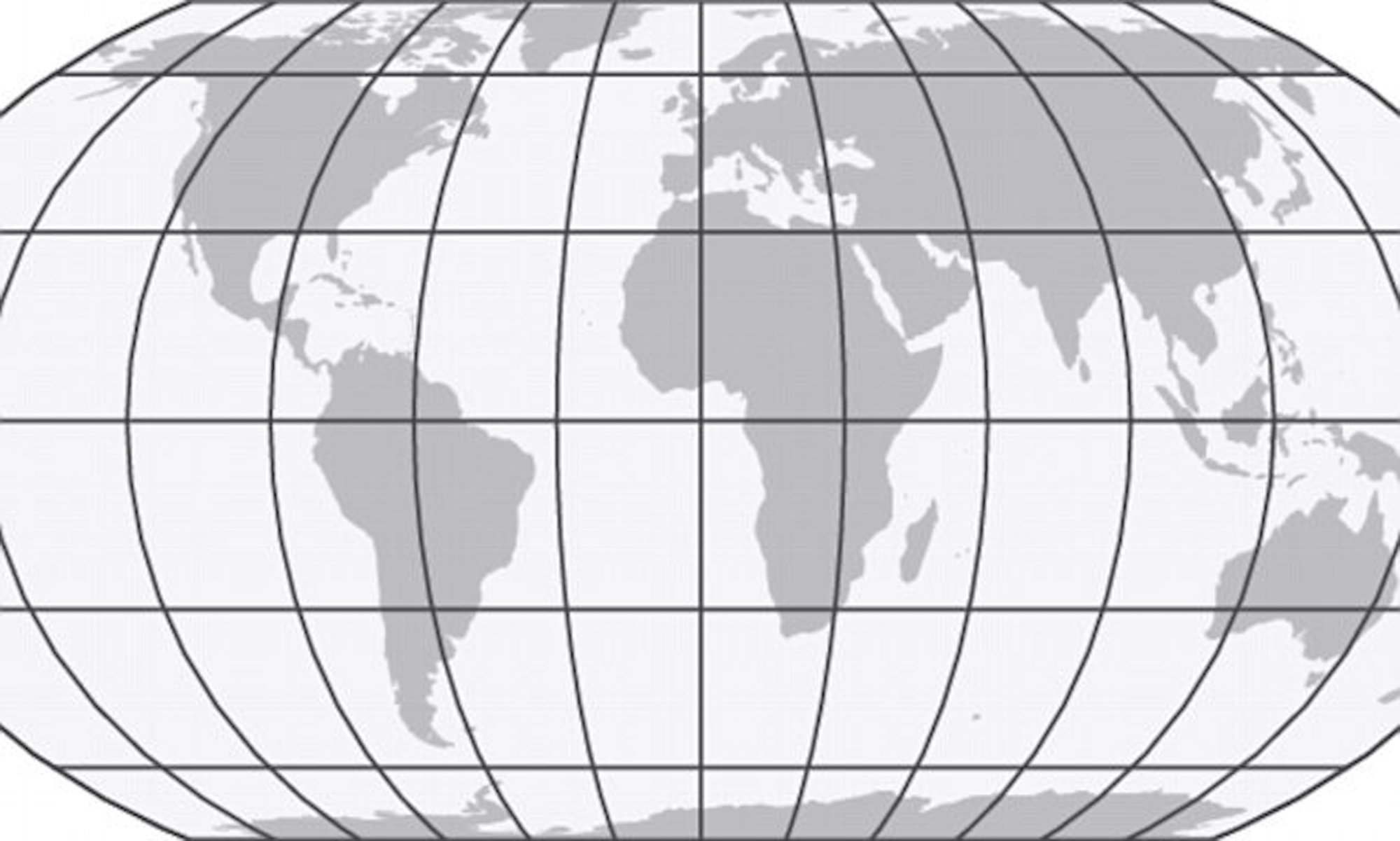
Three scientists have produced a map of the world which accurately reflects the size of all the continents. They’re calling the Equal Earth Projection.
Search Results
You searched for: strange maps
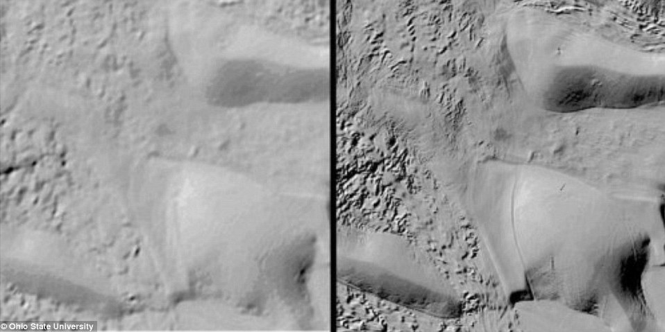
Not so long ago, we had better maps of Mars than of Antarctica. Now, Antarctica is the best-mapped continent in the world.
By the late 18th century, up to 70% of the soldiers manning the ships of the Dutch East India Company came from outside the Netherlands
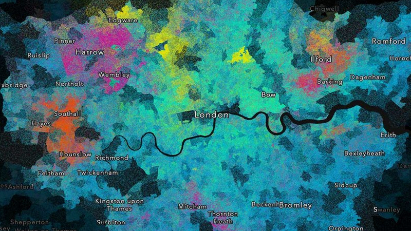
Although London is predominantly Christian, this map shows an archipelago of different faiths throughout the city.
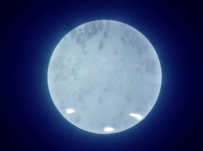
The NICER experiment, designed to measure neutron stars as never before, just released their first pulsar map, and it’s amazing. After typical supernovae, remnant collapsed cores of matter are left behind. […]
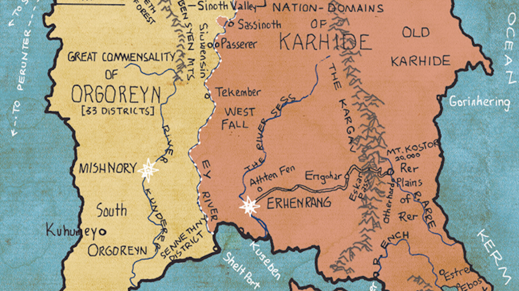
Like Stevenson, Tolkien and other creators of fantasy worlds, Ursula K. Le Guin was a cartographer as well as a writer
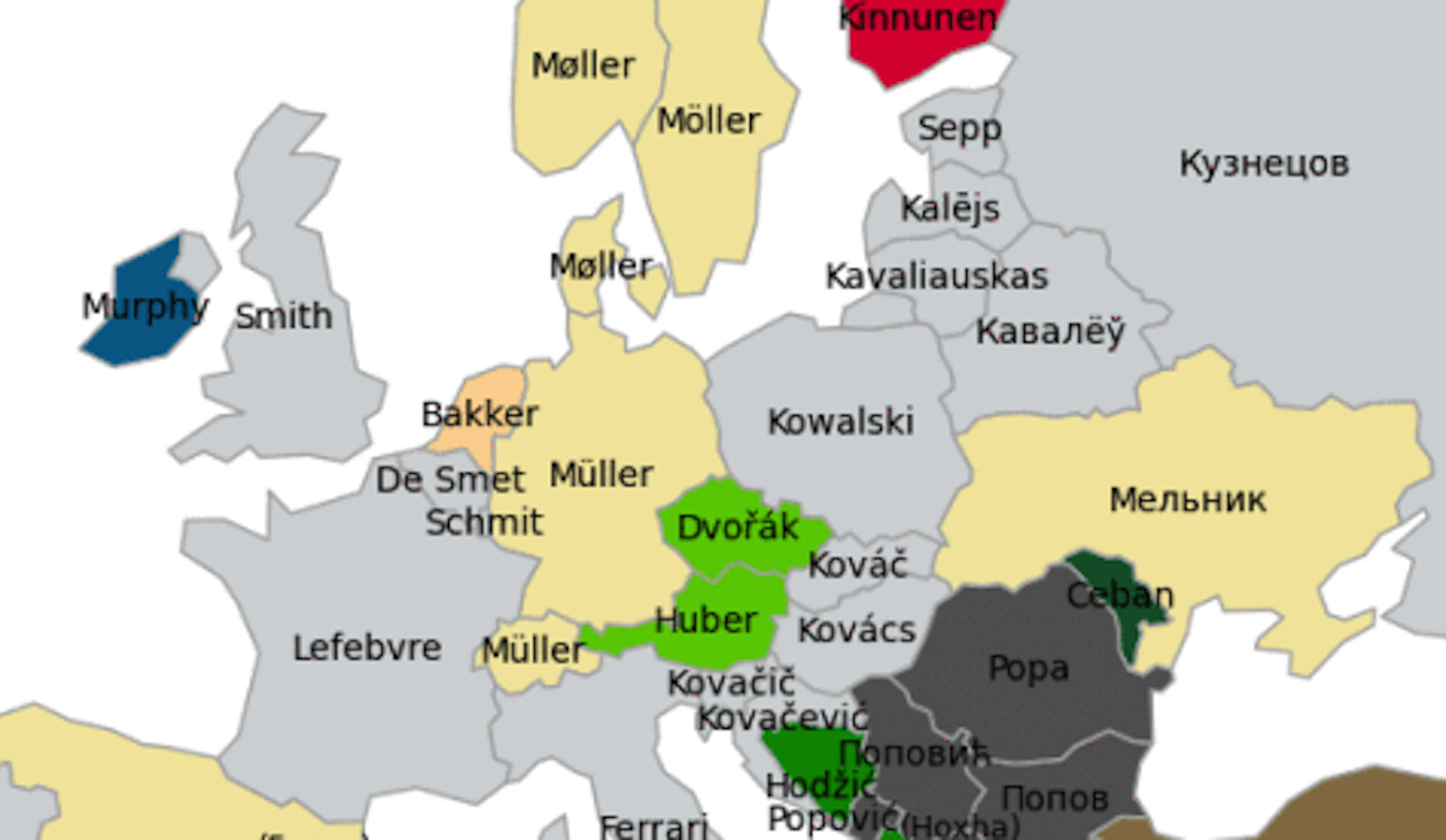
In more than a dozen countries as far apart as Portugal and Russia, ‘Smith’ is the most popular occupational surname
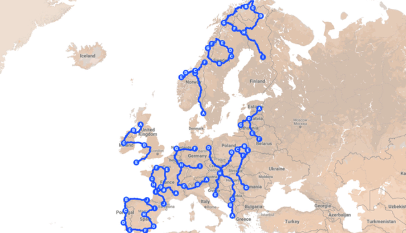
Englishman Andy Pardy is traveling 18,000 miles (30,000 km) across Europe this summer to make a continent-sized political statement
More than 20,000 people have signed a petition for Batman, one of Turkey’s 81 provinces, to be re-shaped so its borders resemble the Bat-Signal.
A review of Matthew Engelke’s How to Think Like an Anthropologist.
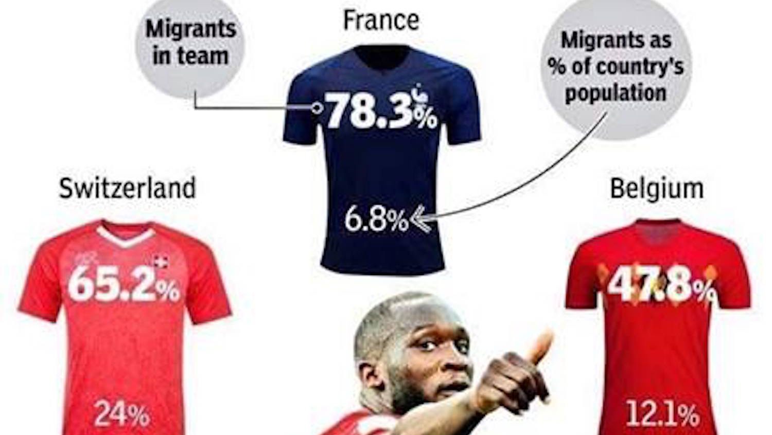
The fans supporting their teams at the World Cup in Russia are overwhelmingly white. Their teams? Not so much.
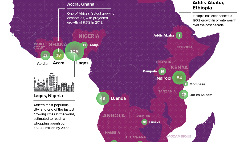
South Africa is no longer the only place on the continent that has urban wealth clusters
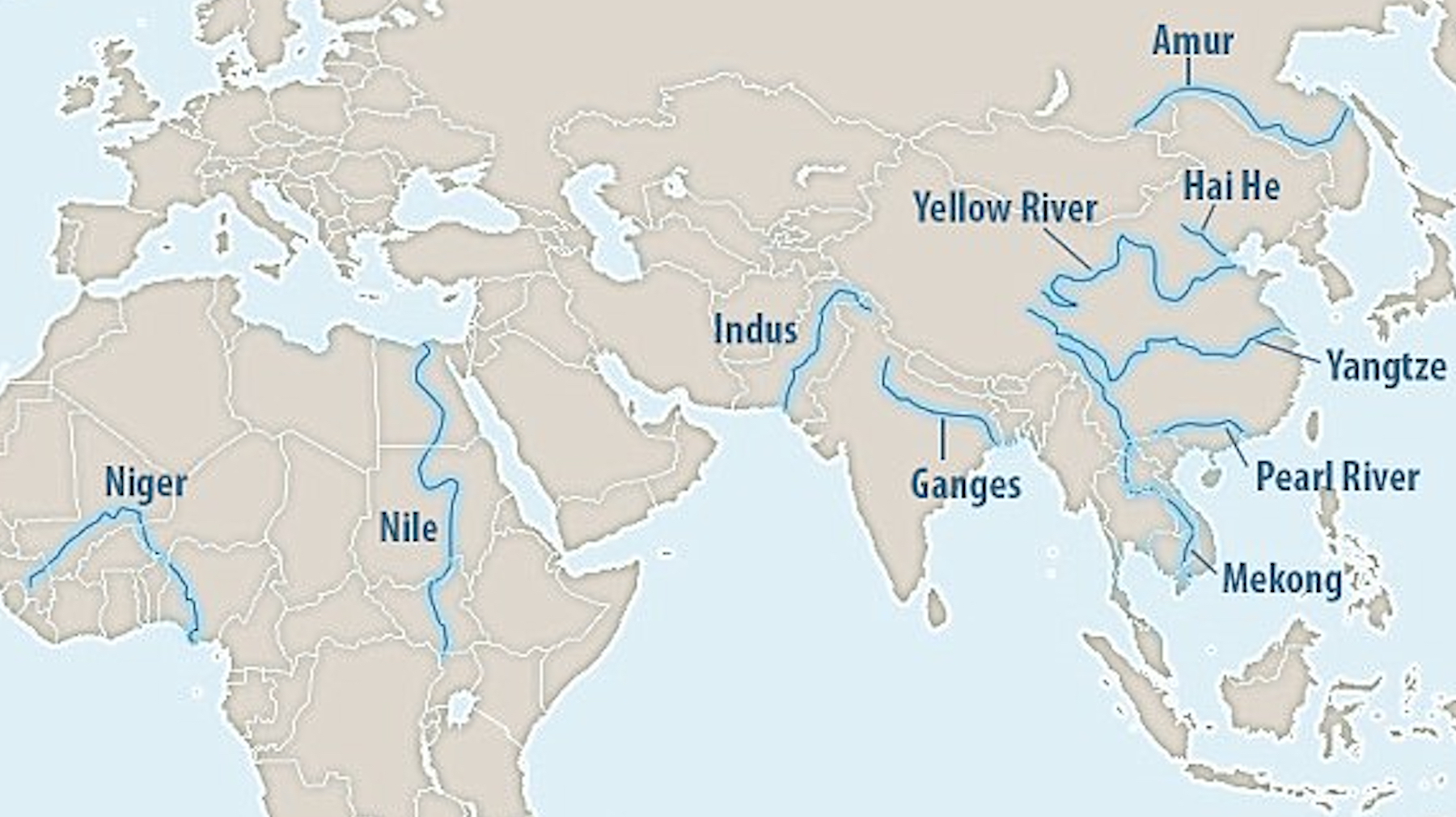
Just ten rivers are responsible for up to 95% of all river-borne plastic trash that ends up in the sea. Silver lining: cleaning them up would have a huge positive impact.
The current U.S. Administration seems happier to pursue fleeting photo ops with strongmen than to cultivate long-standing alliances. Where does that leave American influence in Asia?
America’s corn syrup fields are big enough to cover all its airports and railroads, and other surprising lessons from a ‘tidied-up’ map of America’s land use zones
The greatest danger to our planet is not pollution or climate change, but our own despair.
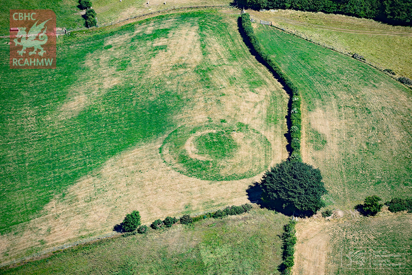
The heatwave scorching Britain is revealing the outline of ancient buildings – some previously unknown to archaeologists
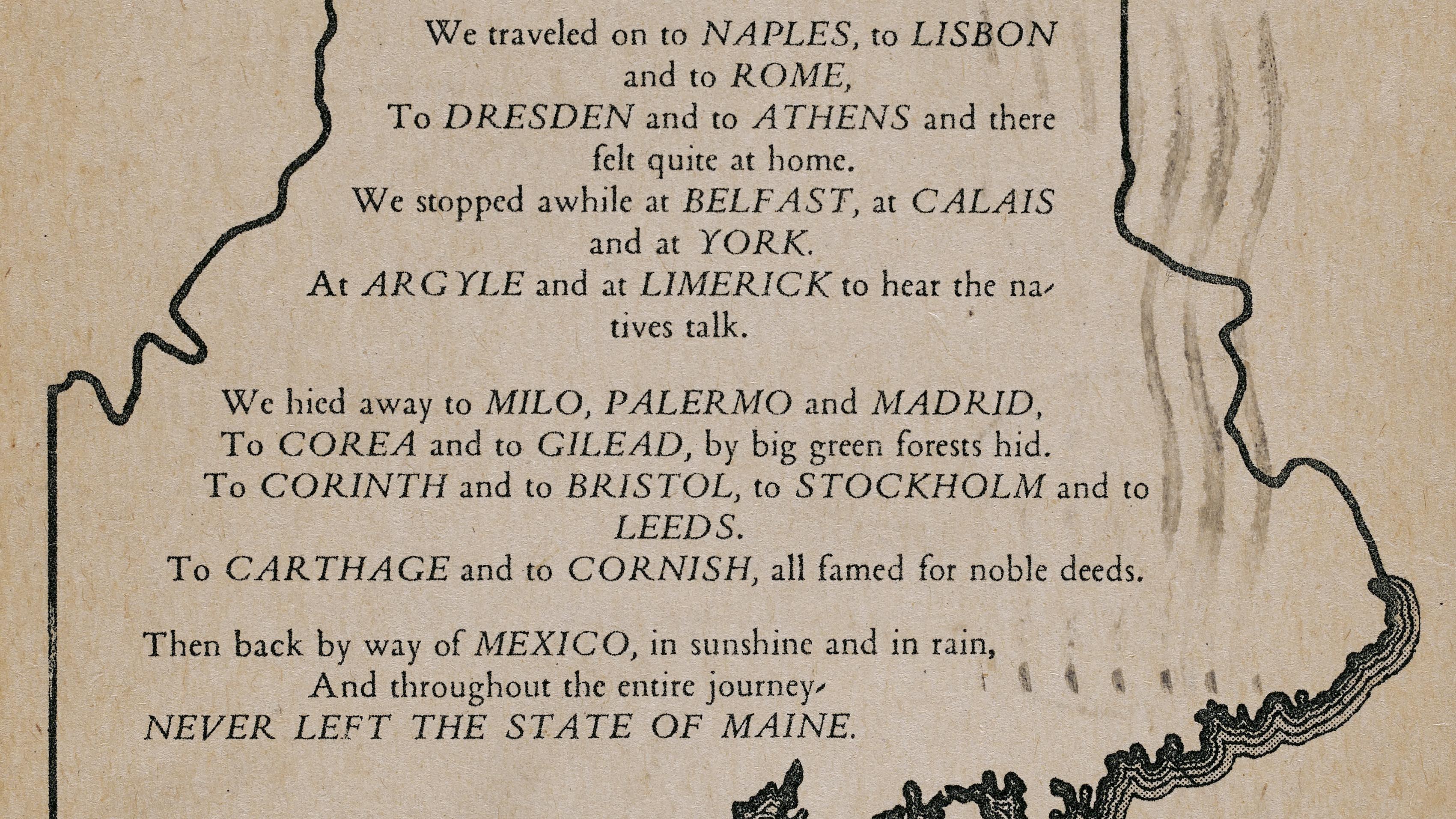
There’s a reason why all the world seems to be hiding within the borders of Maine.
Because geocaches are always hidden out of sight, players often have to behave in out-of-the-ordinary ways to reach them.
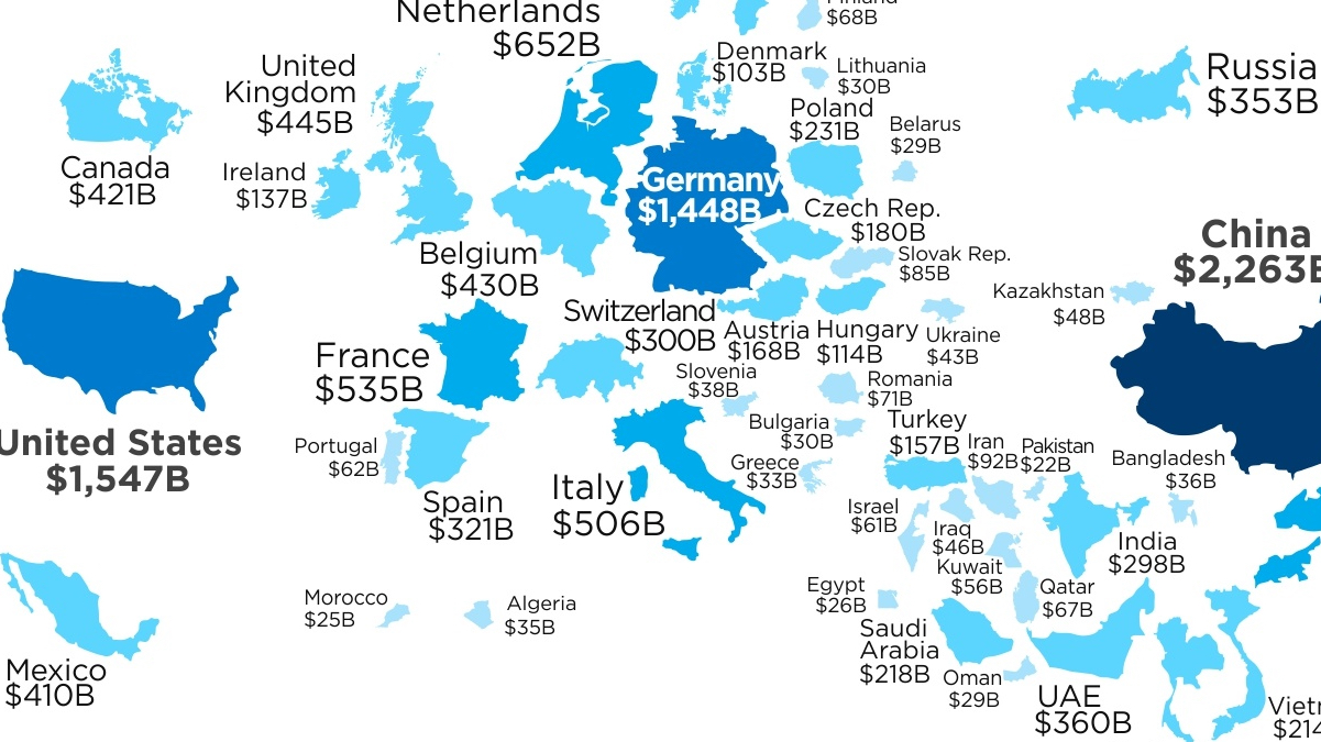
America is the world’s #2 exporter – and that makes trade wars everything but “good and easy to win”
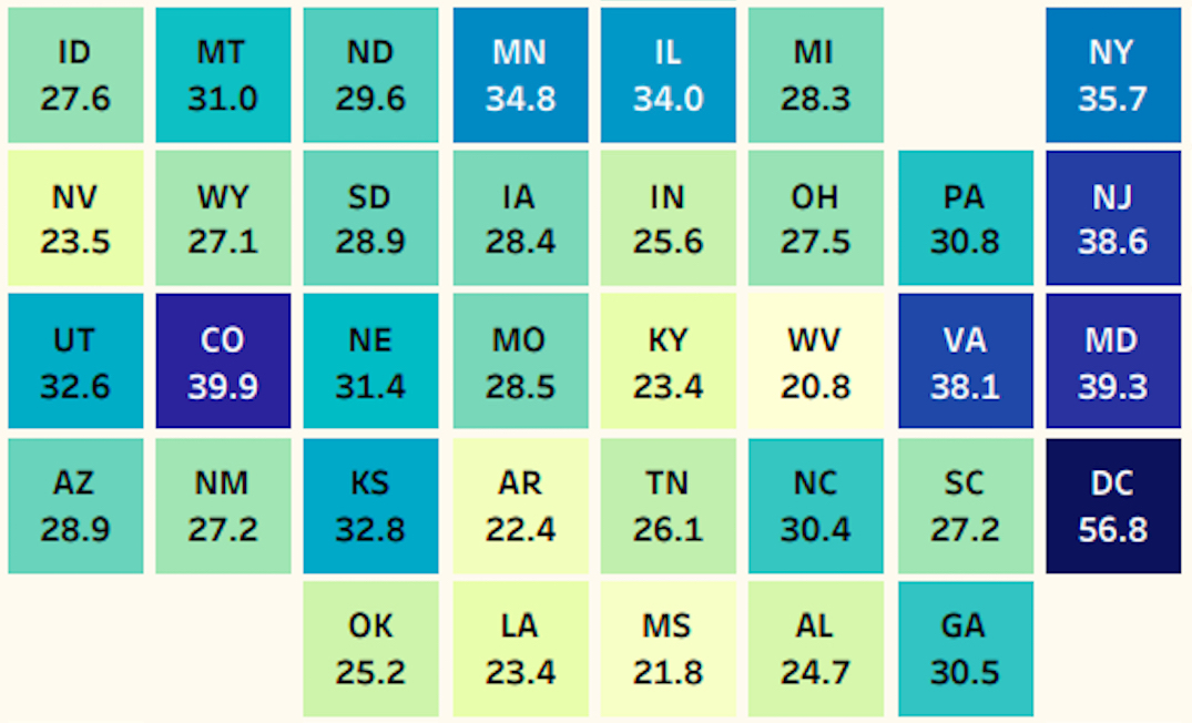
West Virginia and Mississippi are at the bottom of the educational attainment table and Massachusetts is the state with the highest share of Bachelor’s degree holders – beaten only by the District of Columbia
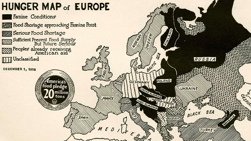
This 100-year-old map, originally made for American consumption, highlights the famines that swept across Europe after WWI.
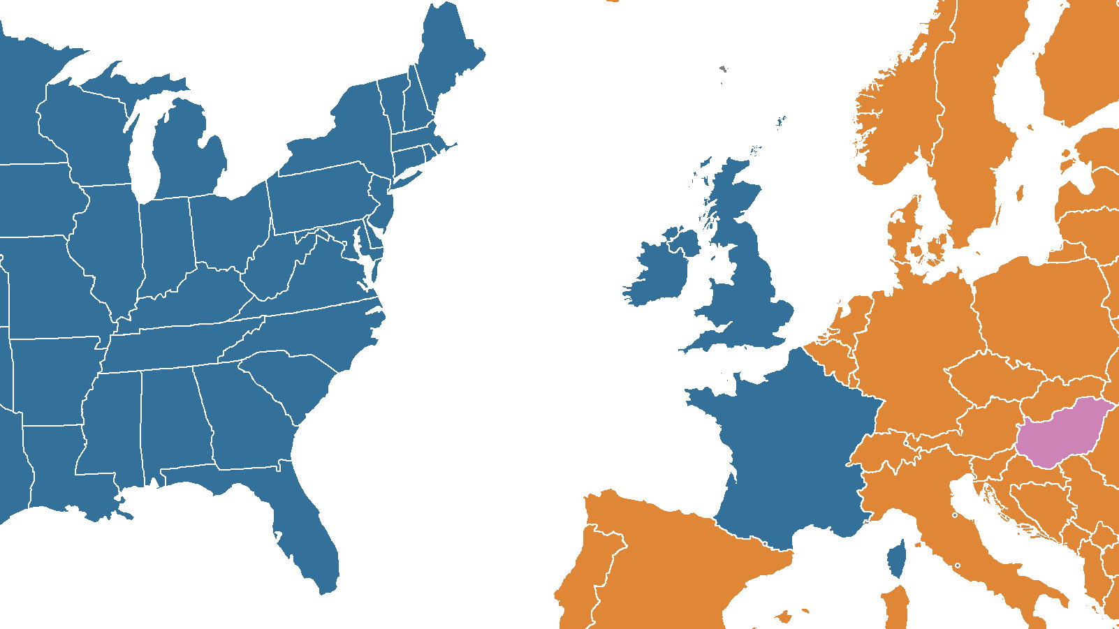
Hungary’s Two-Tailed Dog Party campaigns on an ‘anti-anti-immigration platform, with slogans such as: “Sorry about our Prime Minister”, and “Feel free to come to Hungary, we already work in England anyway!”
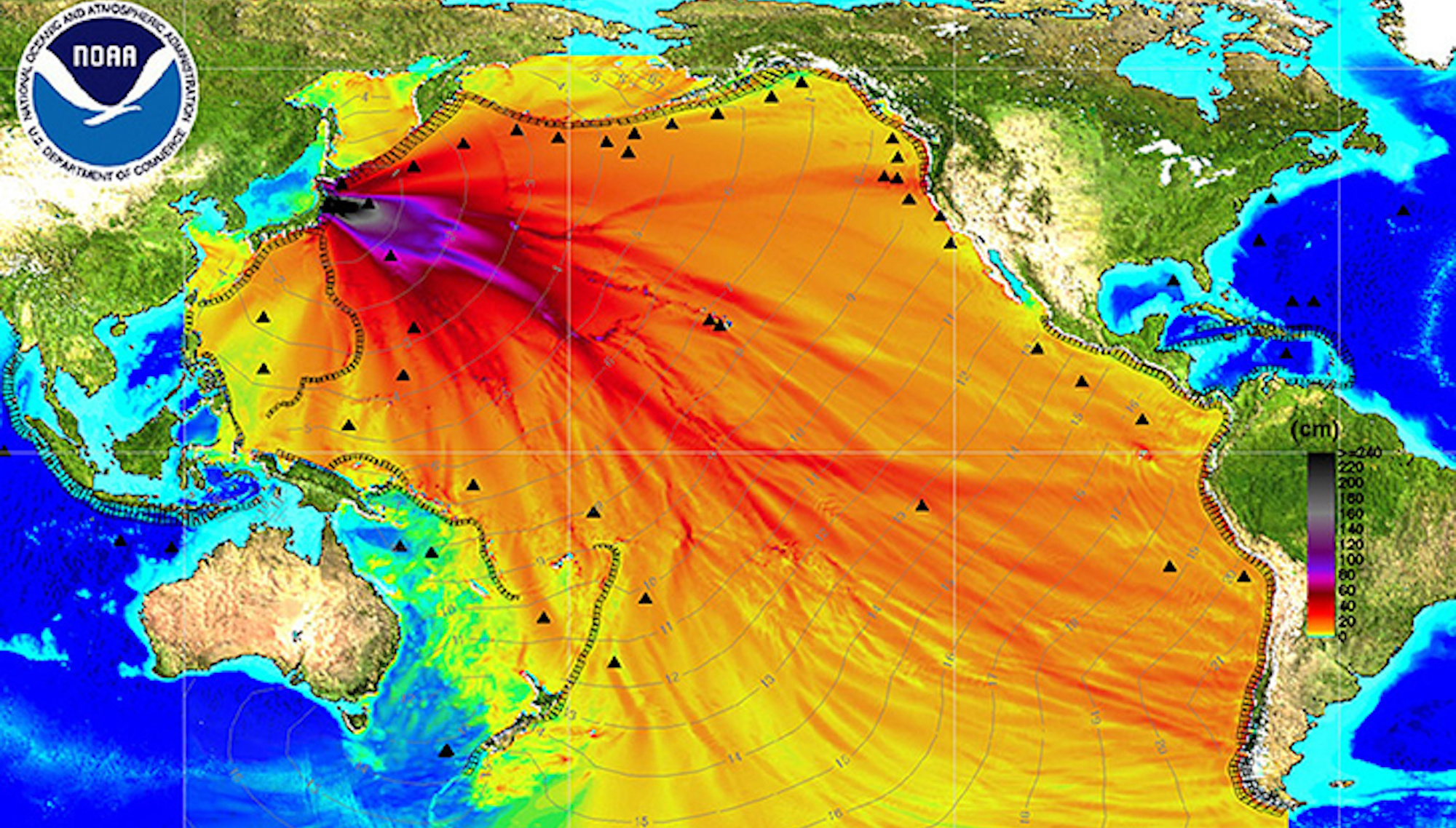
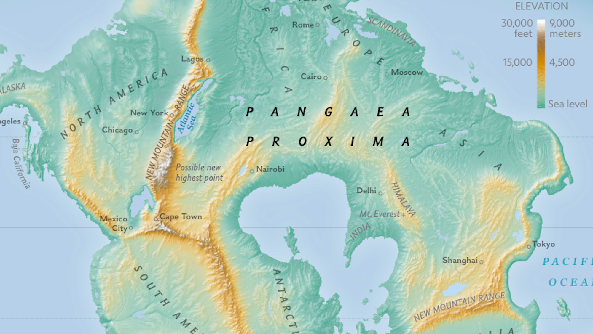
This is what the world will look like, 250 million years from now
These maps offer a glimpse of what’s been lost – or rather, destroyed – by previous generations.
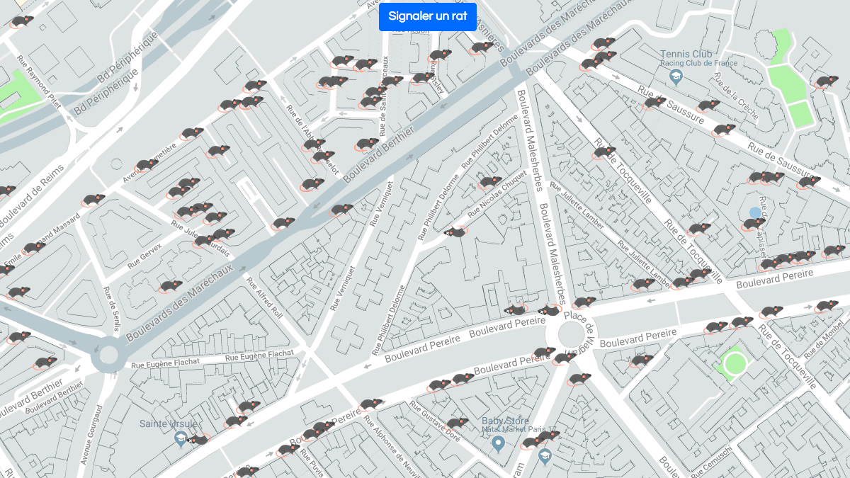
All big cities have rats, but Paris seems to have a more serious rodent problem than most.
Are you a ‘Big-Endian’ or a ‘Little-Endian’? Swift’s satirical take on religious wars gave us the jargon to describe our different date and address formats.
Virtually all young Danes have left the parental home by the time they’re 34. Yet in Slovakia, almost 57% of young adults still reside in the Hotel of Mum and Dad.
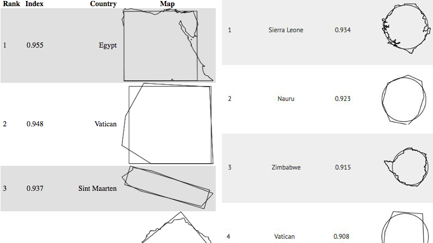
Mind-boggling as it is, some of the world’s roundest countries are also some of the most rectangular ones.
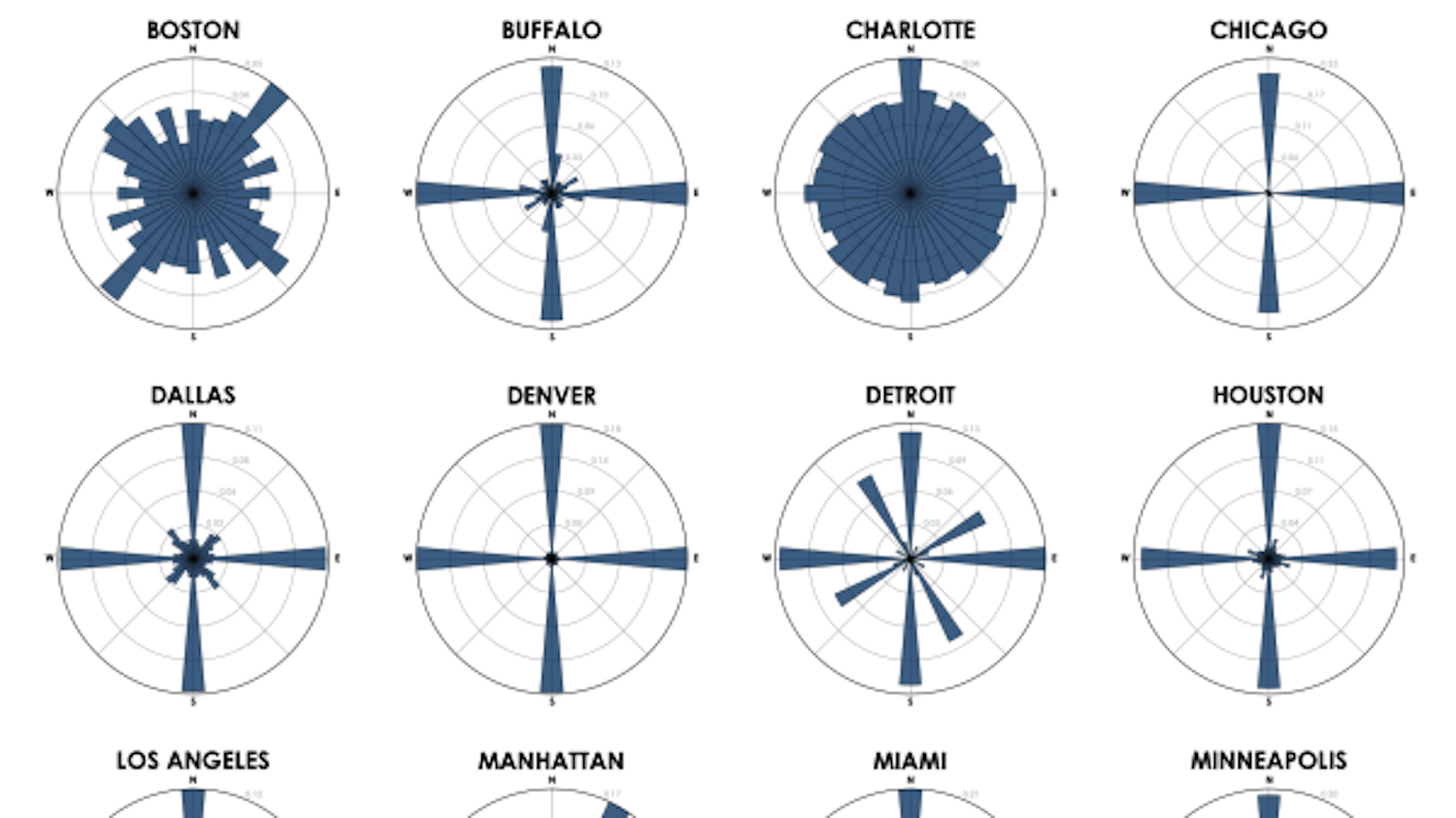
Simple diagrams reflect straightforward grids that make navigation easy. Complex diagrams equal ‘messy’ street grids, making it harder to find your way.
