How long does it take to travel from London to elsewhere? The answer is provided by this map, showing a set of expanding circles centered on the British capital, each […]
All Articles
The Bir Tawil Triangle is a desert of sand and rocks on the border between Egypt and the Sudan. It is also officially the most undesired territory in the world. […]
n How would you eliminate almost half the planet by subtracting just 5% from it? This map shows you how: delete the countries that constitute the bottom 5% of global […]
In geopolitical theory, the term ‘Heartland’ refers to the area between the Volga and Yangtze rivers, and between the Himalaya and the Arctic regions. According to H.J. Mackinder’s 1904 article […]
n Safe, neutral, boring Switzerland is a strangely fertile source of curious cartography. Previously, this blog has zoomed in on wartime contingency plans for a Schweizer réduit (#109), Jules Verne’s […]
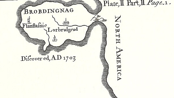
The king of this country of giants thought of humans as vermin
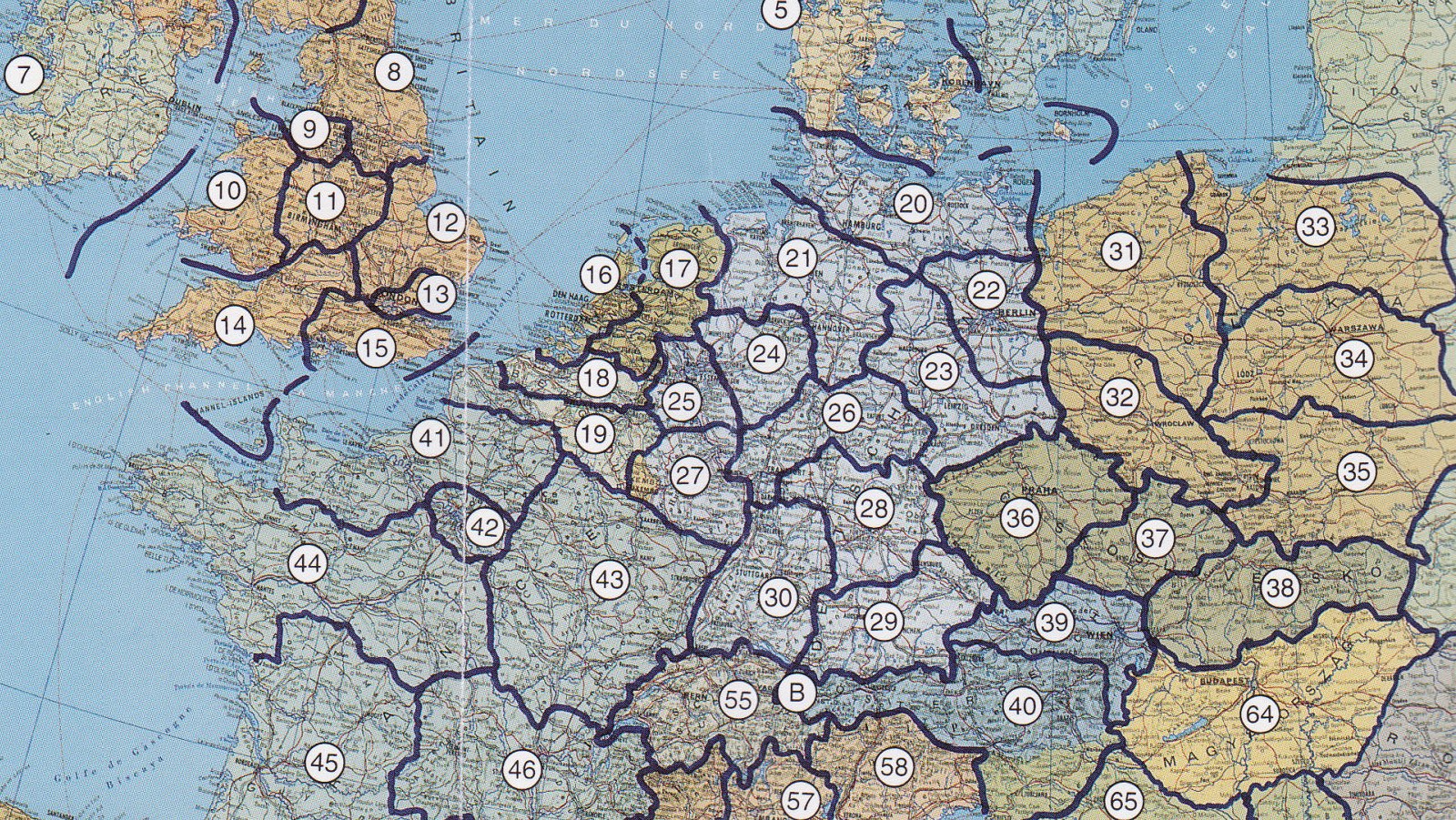
A decade and a half later, the plan sounds even more improbable than at its inception
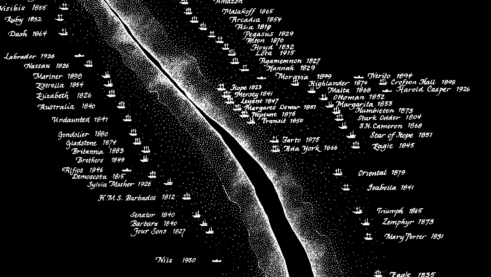
The Farto was just one of over three hundred ships to meet its end on this obscure, crescent-shaped wandering sandbank
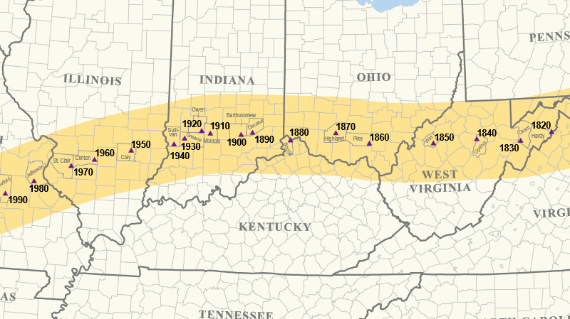
America’s demographic centre of gravity has been moving steadily eastward for over 200 years
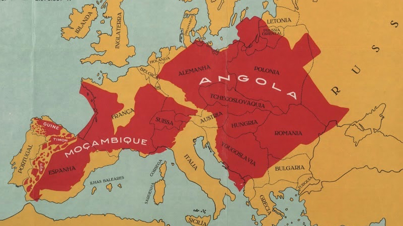
Portugal’s inferiority complex leads to a very curious comparison
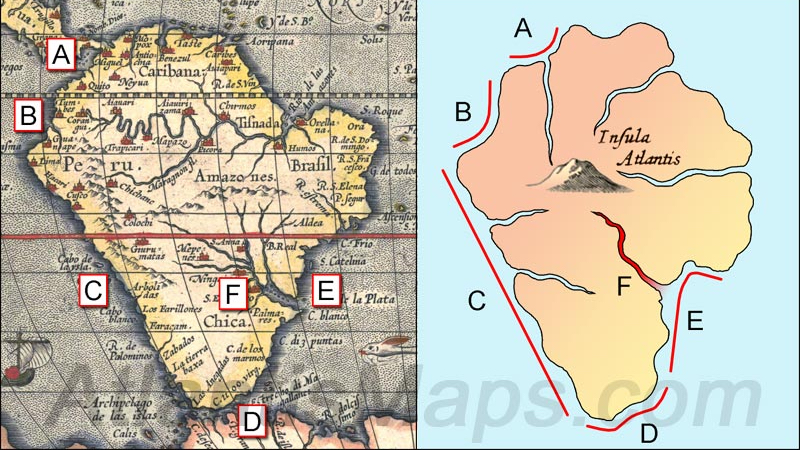
Plato’s fabled continent, as depicted by Kircher in the 17th century, looks a bit familiar…
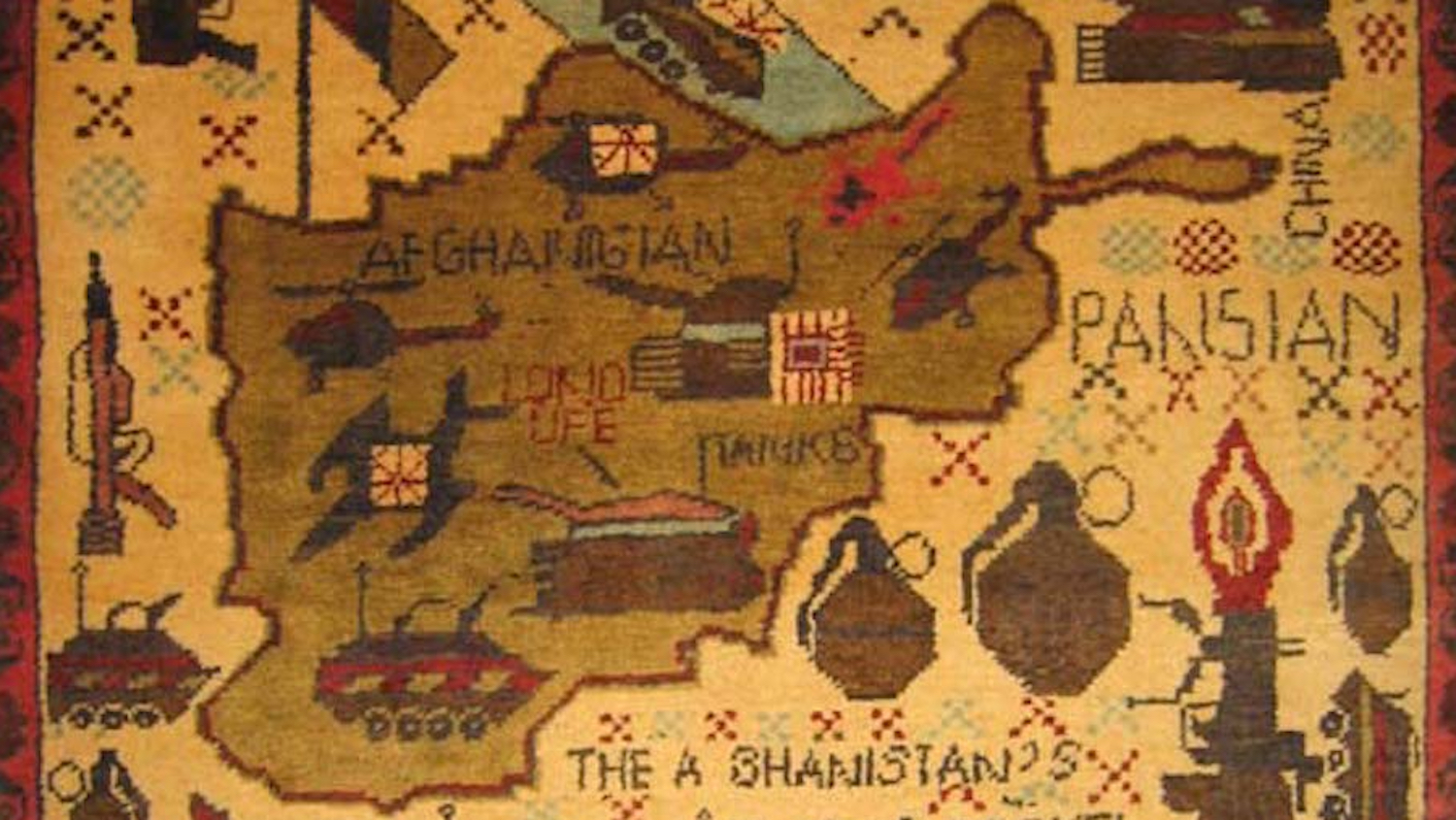
An obscure but ancient branch of loom art, weaving current events into carpets
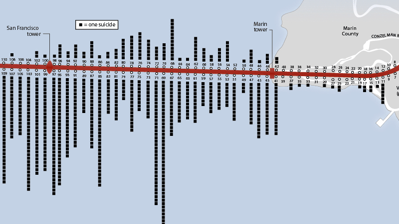
Some places exert a morbid attraction on the terminally disenchanted – like light pole 69 on the Golden Gate Bridge
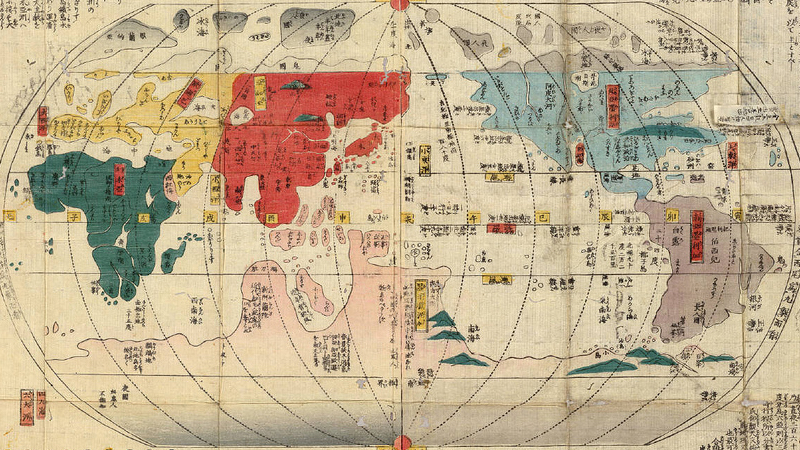
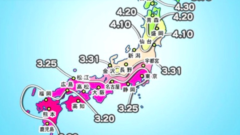
Centuries of isolation left the Japanese with limited knowledge of world geography
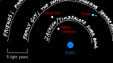
If extraterrestrials were monitoring American television, here’s what they would be watching. In the Fomalhaut system, for example, maybe everybody’s crazy about Miami Vice.
n A pene-enclave is almost an enclave in the same way that a peninsula* almost is an island. But only on a strictly lexical level. If we descend from the […]
A humorous, cartography-centred look at the course of World War II, as devised by cartoon artist Angus McLeod. Thanks to Luka Rejec and Chris Medcraft for finding it here on […]
n Some maps capture the imagination and inspire so much imitation that they become icons. Harry Beck’s 1930s map of the London Underground is one of the best examples (here […]
n Despite the quip about American beer being like making love in a canoe, the US produces a multitude and a variety of brews that belie the homogenised tastes of […]
n “The American Geographical Society Library has acquired an extremely rare and unusual map, The Man of Commerce, published in 1889 in Superior, Wisconsin. The highly detailed 31″ x 50″ […]
n “Thanks to Unicode and OpenType, modern fonts are overcoming thelimitations of traditional European typography. The size of the countries on this map does not correspond to their geographical area, […]
n What a great way this map is to present global levels of wine consumption (red wine, 2006). A shame there’s no legend to provide context (by way of litres […]
n n Endtime prophecy is not the province of the religiously excitable alone. Even the die-hard materialists of the Russian intelligence service FSB (formerly the KGB) dabble in apocalyptic musings – although […]
Perhaps the least-known of the four national saints’ days on the British Isles
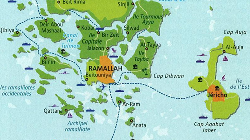
This map excerpt of the environs of Jerusalem is strangely reminiscent of this one, showing Belgium partially submerged along ethnic lines. Both maps solve the seemingly intractible disputes inherent in […]
a stark illustration of the West Bank’s ongoing fragmentation
“The man of breeding never appears to abandon himself completely to his pleasures; even his manner of enjoyment is detached. It is the rustic boors who take all their pleasures […]
