Strange Maps
A special series by Frank Jacobs.
Frank has been writing about strange maps since 2006, published a book on the subject in 2009 and joined Big Think in 2010. Readers send in new material daily, and he keeps bumping in to cartography that is delightfully obscure, amazingly beautiful, shockingly partisan, and more. "Each map tells a story, but the stories told by your standard atlas for school or reference are limited and literal: they show only the most practical side of the world, its geography and its political divisions. Strange Maps aims to collect and comment on maps that do everything but that - maps that show the world from a different angle."
featured
All Stories
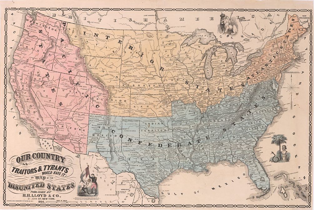
In a referendum on 23 June, British voters will decide whether or not to leave the European Union, and Americans will decide in November between Hillary Clinton and Donald Trump.
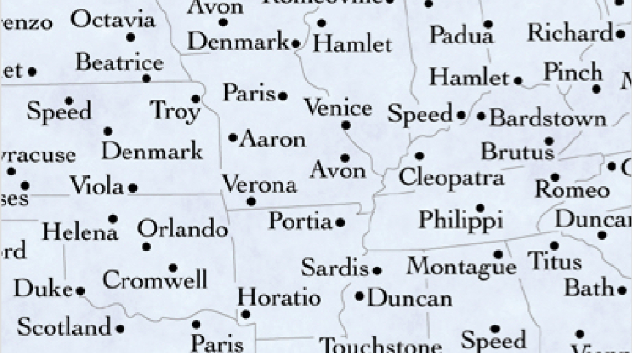
Shakespeare never visited America, yet the map of the U.S. is dotted with references to his work.
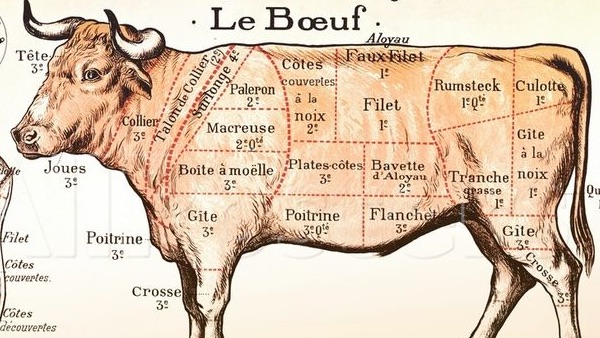
Not every butcher’s map has a Tenderloin District
Buckle up – you’re about to find out which US states have the same GDP as entire countries. Frank Jacobs’ latest installment of Strange Maps shines a light on the 51 countries that fit within North America’s GDP.
Passport specifications are regulated by the International Civil Aviation Organisation (ICAO), the relative power of your country’s passport says a lot about its standing in thew world.
Mass migration is nothing new; the ancestors of modern Europeans themselves came from the Middle East.
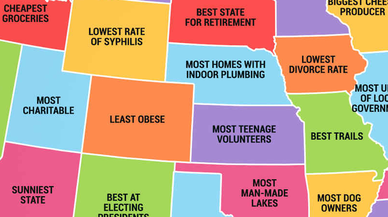
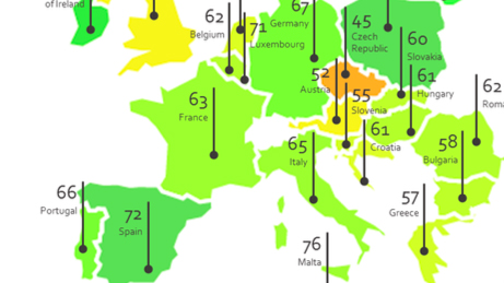
These maps show the best and worst qualities of all fifty states in the US, and all European countries.
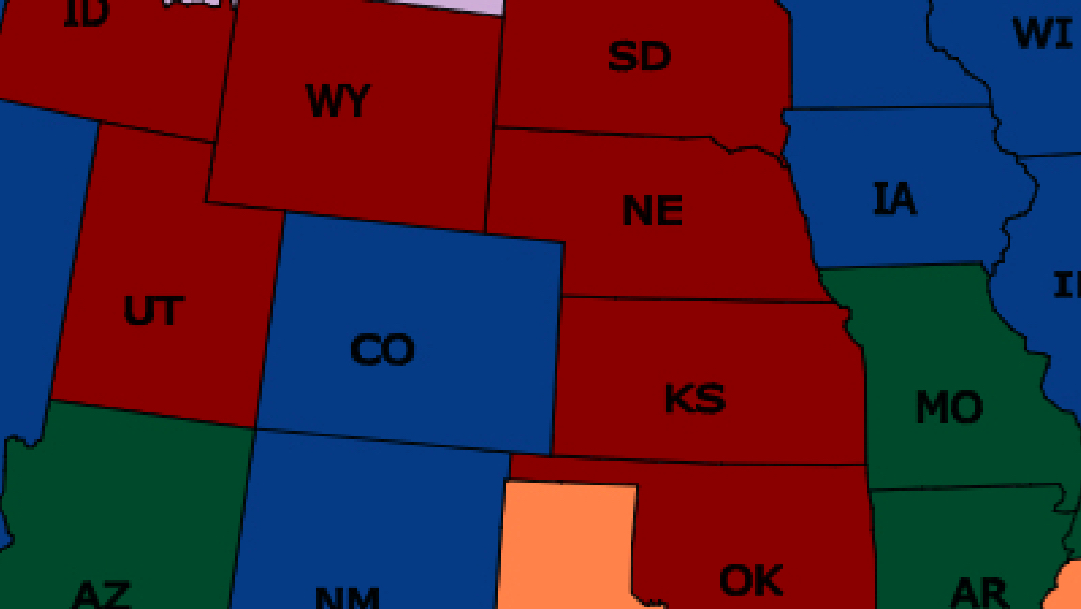
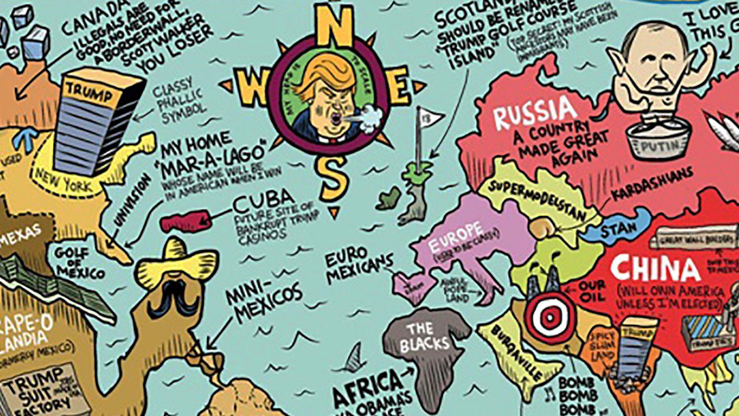
The arrogance and ignorance of American presidential candidate Donald Trump come alive in these three maps, which continue cartography’s wonderful history of satirical takedowns.
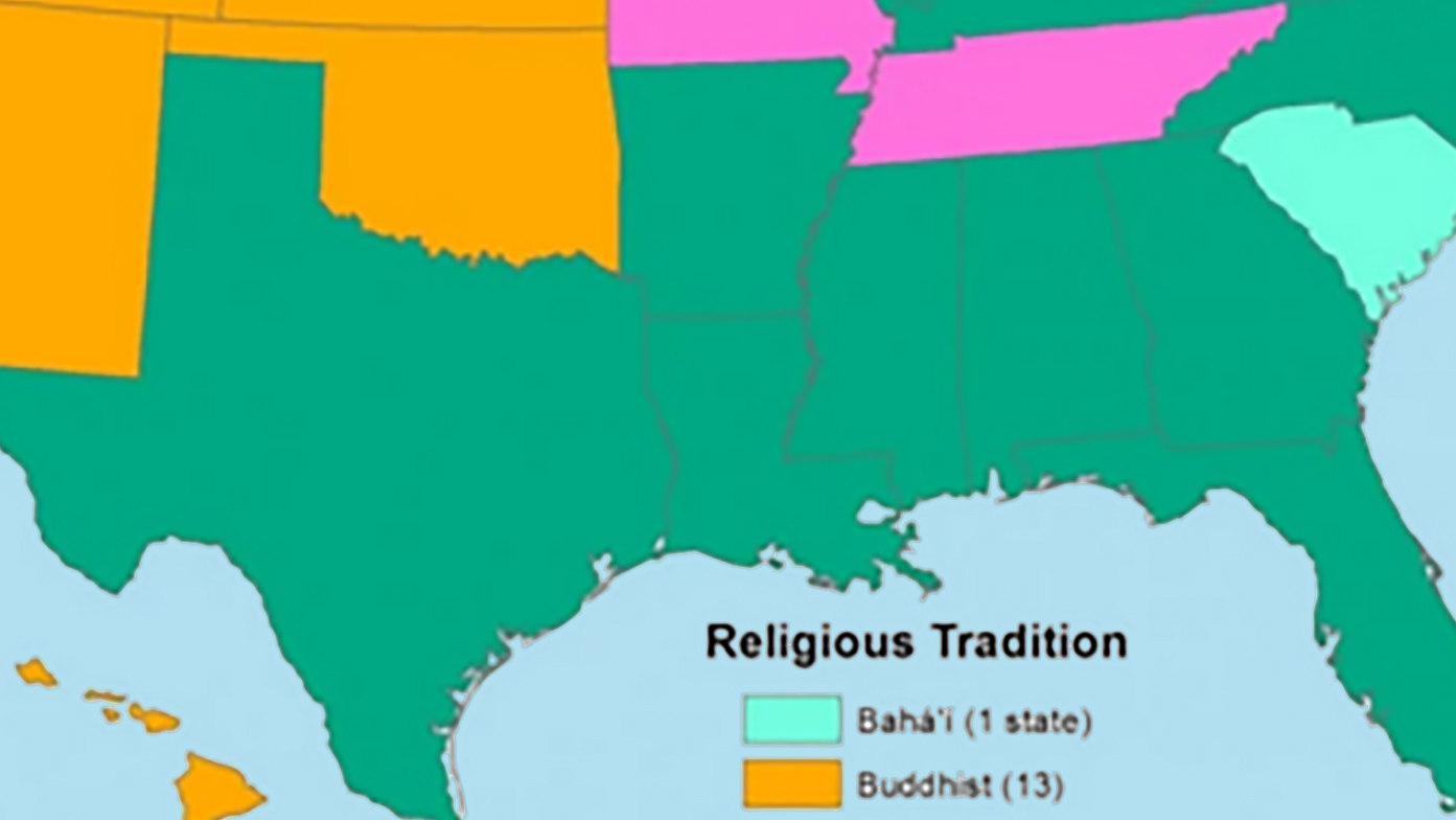
Take all the Christians out of the United States and these are the biggest religions for each state: a Buddhist West, a Muslim crescent across the South and Midwest, and a Jewish Northeast.
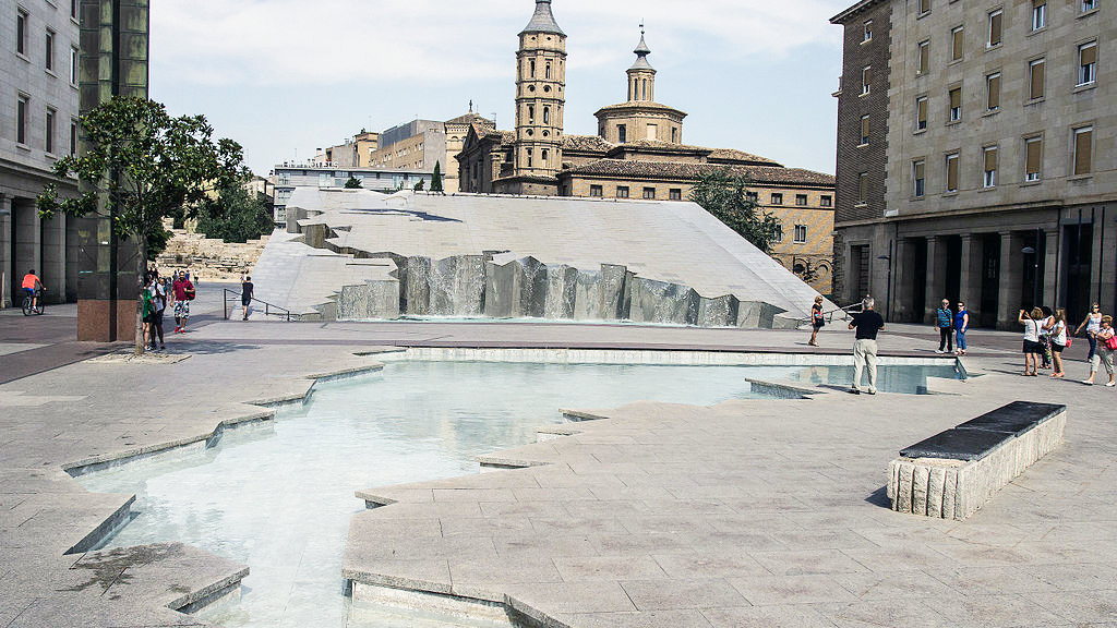
Celebrating Hispanic culture, the map-shaped fountain is one of Zaragoza’s more curious attractions
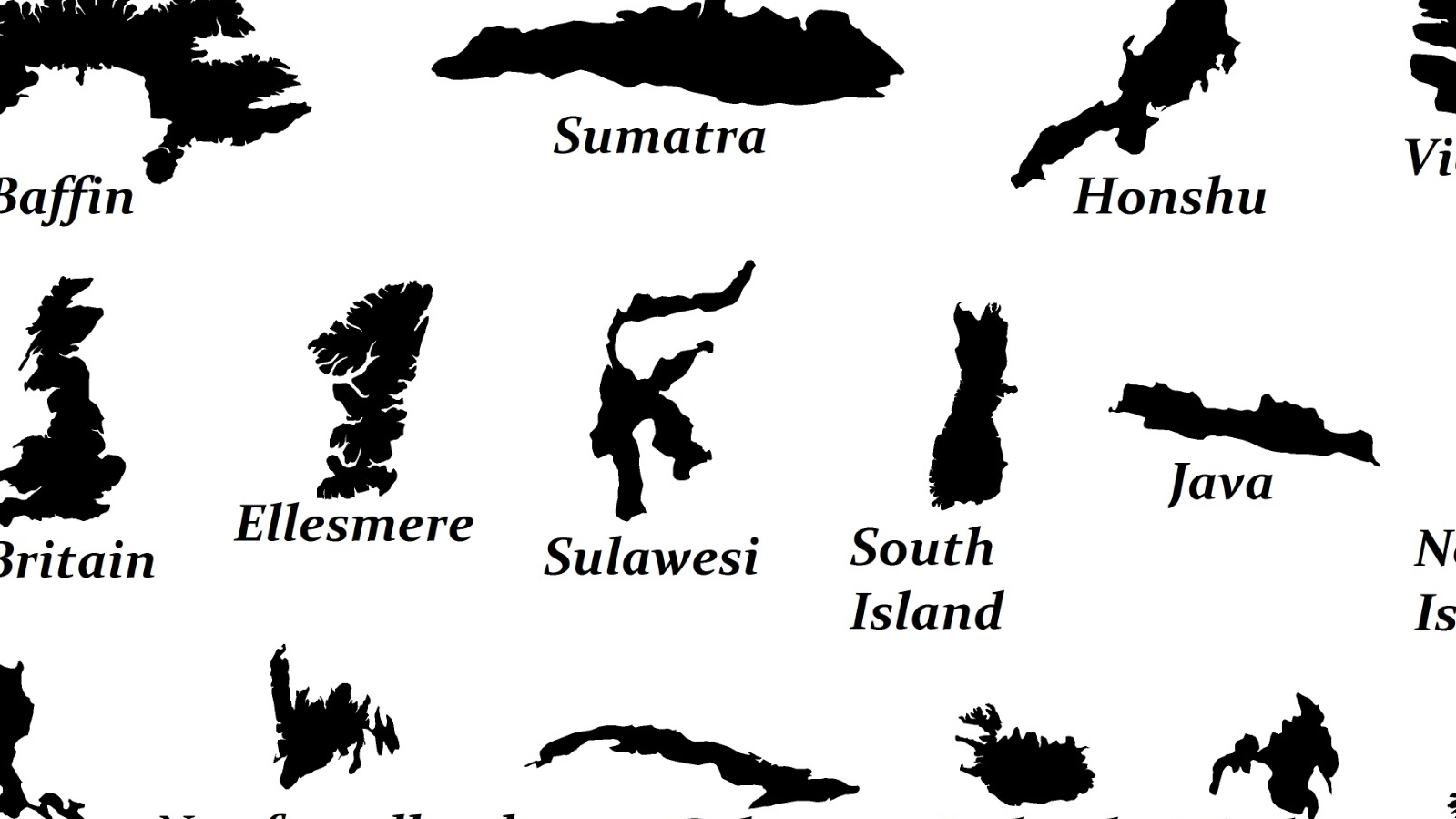
World’s biggest island? Up for discussion. The next 25? See this map.
Depending on where you do your shopping, it could be a sac, a pochon or even a nylon.
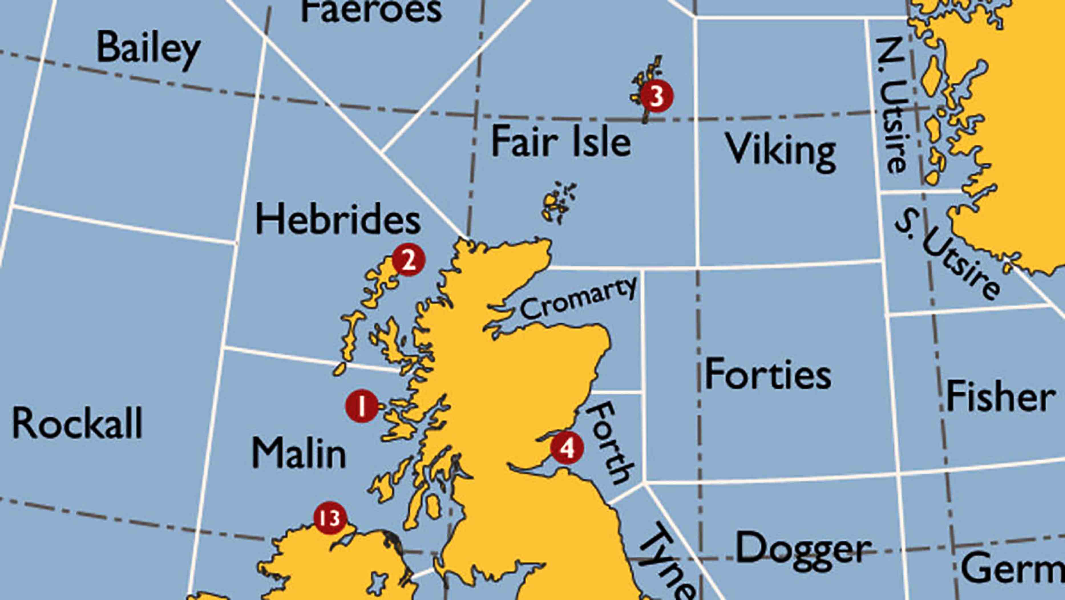
The Shipping Forecast is quite possibly the most British thing ever.
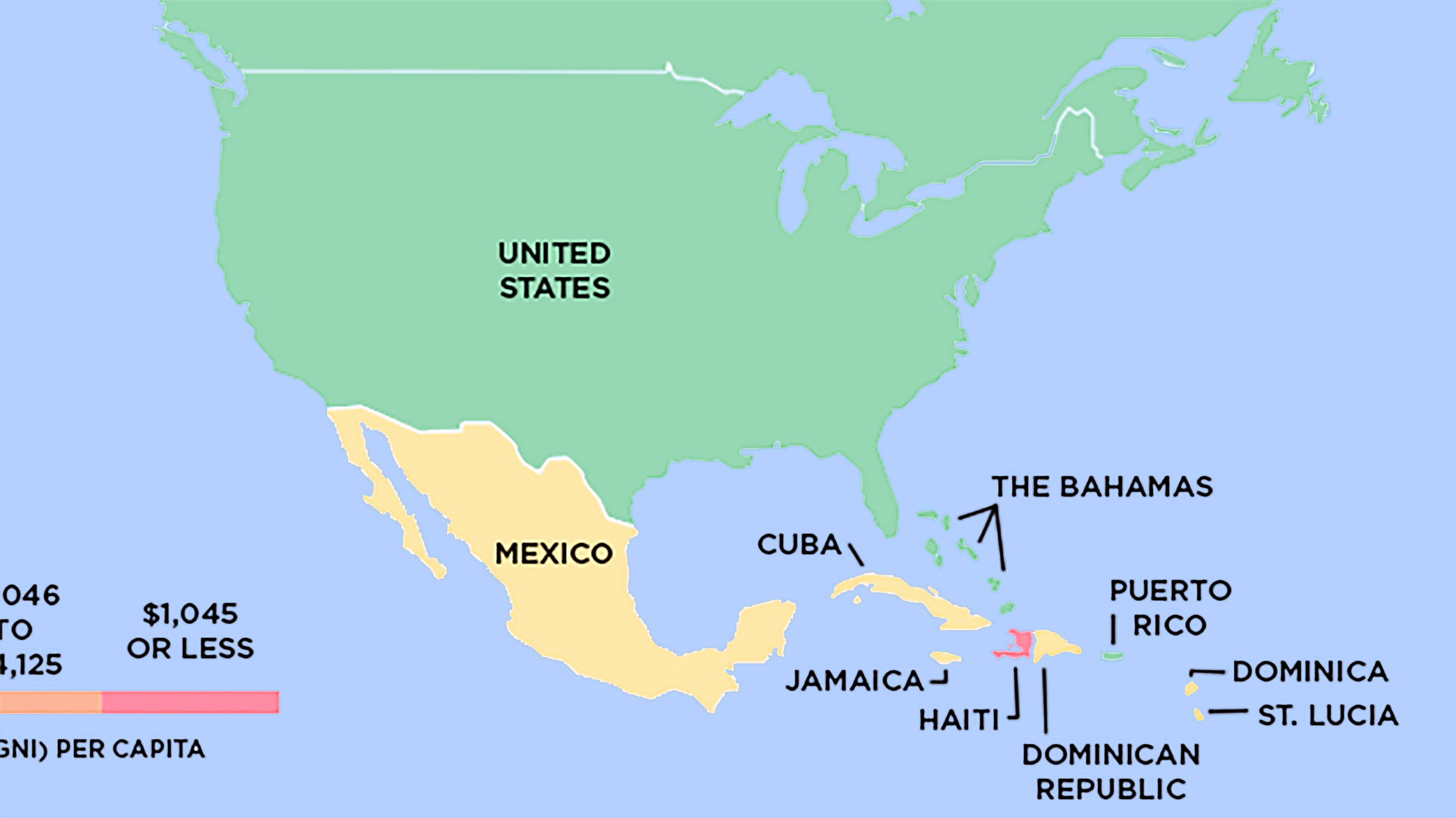
Based on World Bank data, Global Finance magazine recently subdivided the world into four income groups. And here are the maps that illustrate the point.
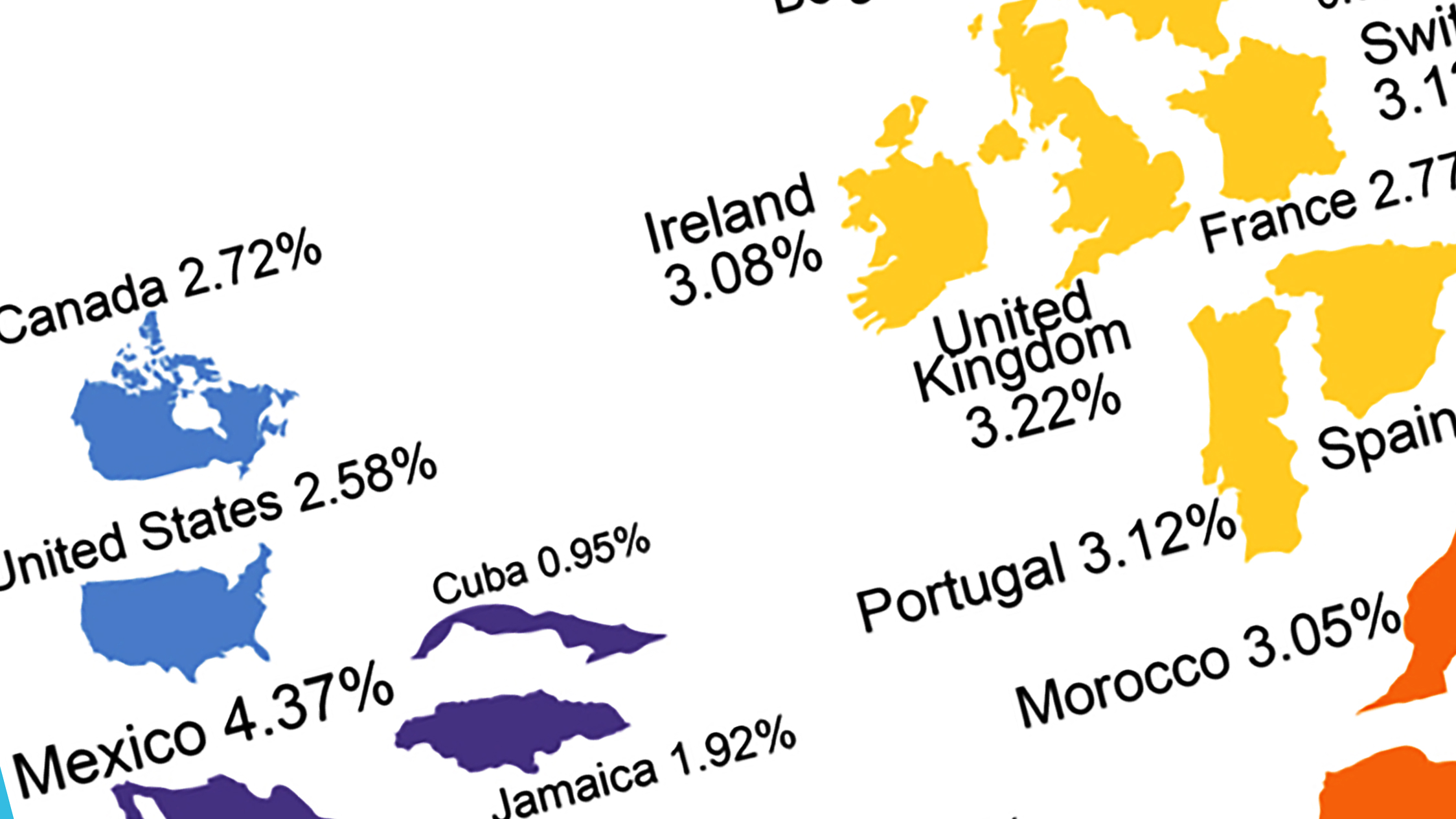
This is a map of the online world. Each country is resized for the popularity of its domain name. The eye is immediately drawn to the map’s greatest anomaly: Tokelau.
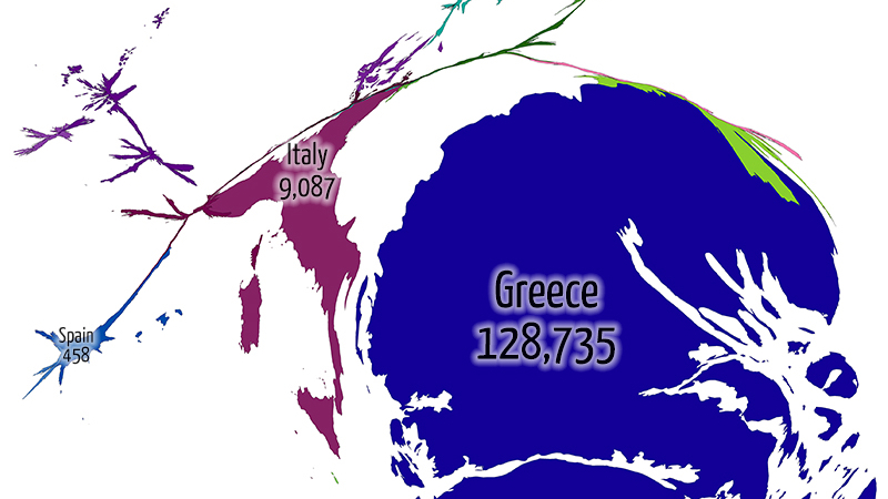
Three maps show how Greece is taking the brunt of Europe’s refugee crisis
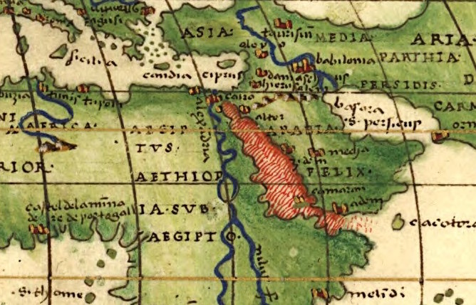
Turkish cardinal directions? I didn’t even know they had cardinals in Turkey!
An early ‘viral’ phenomenon, the Jedi faith is fading fast
Londoners are defined by the sounds of their city — and here are the maps to prove it.
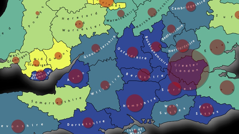
The slippery slope of Britain’s exit from the EU, mapped
A noble attempt at fighting viral racism. But is it telling only half the story?
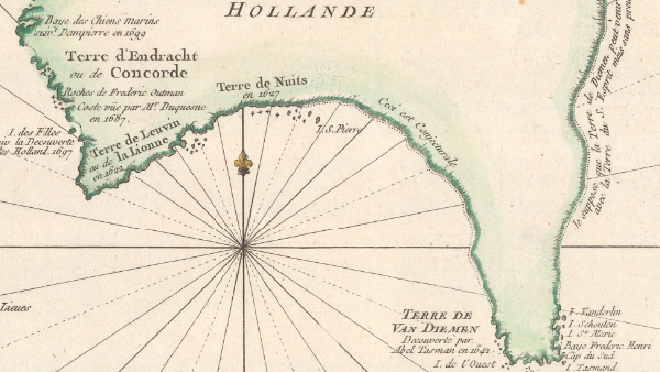
How do you map a half-discovered country? You make up the other half!
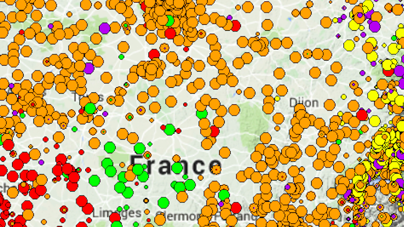
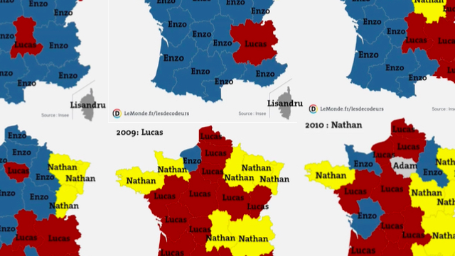
On the map, the changing fortunes of French baby boys’ names look like battles in a weird, unreported war.
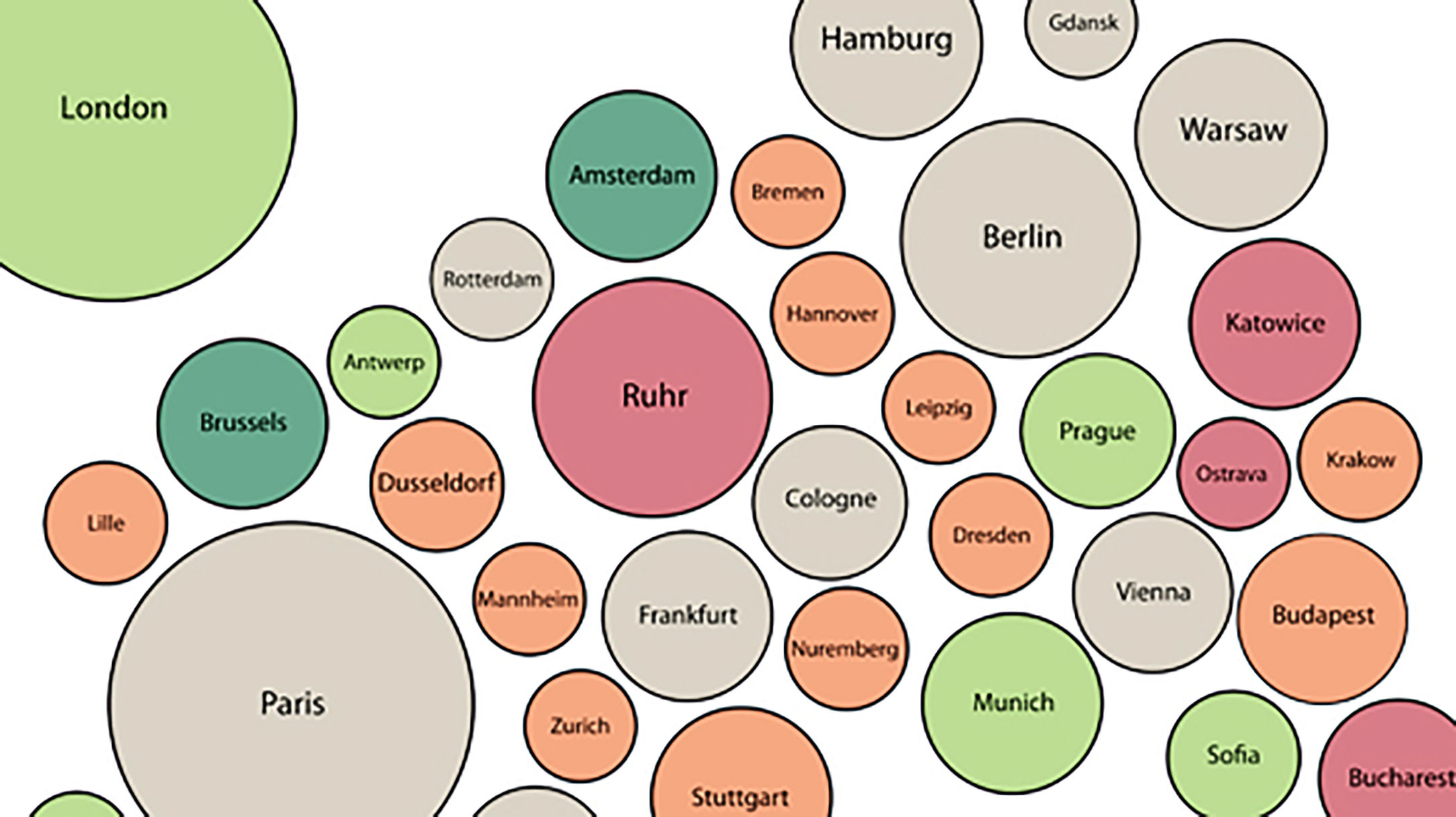
All cities have clogged traffic arteries, post-industrial pockets of hipness, and districts that hate each other’s guts for no other reason than that they’re across the river from each other, or on opposite sides of the tracks.
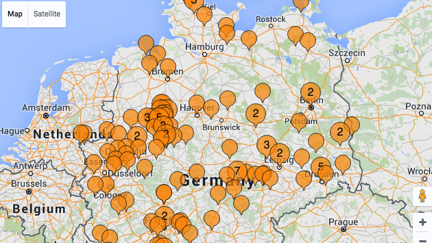
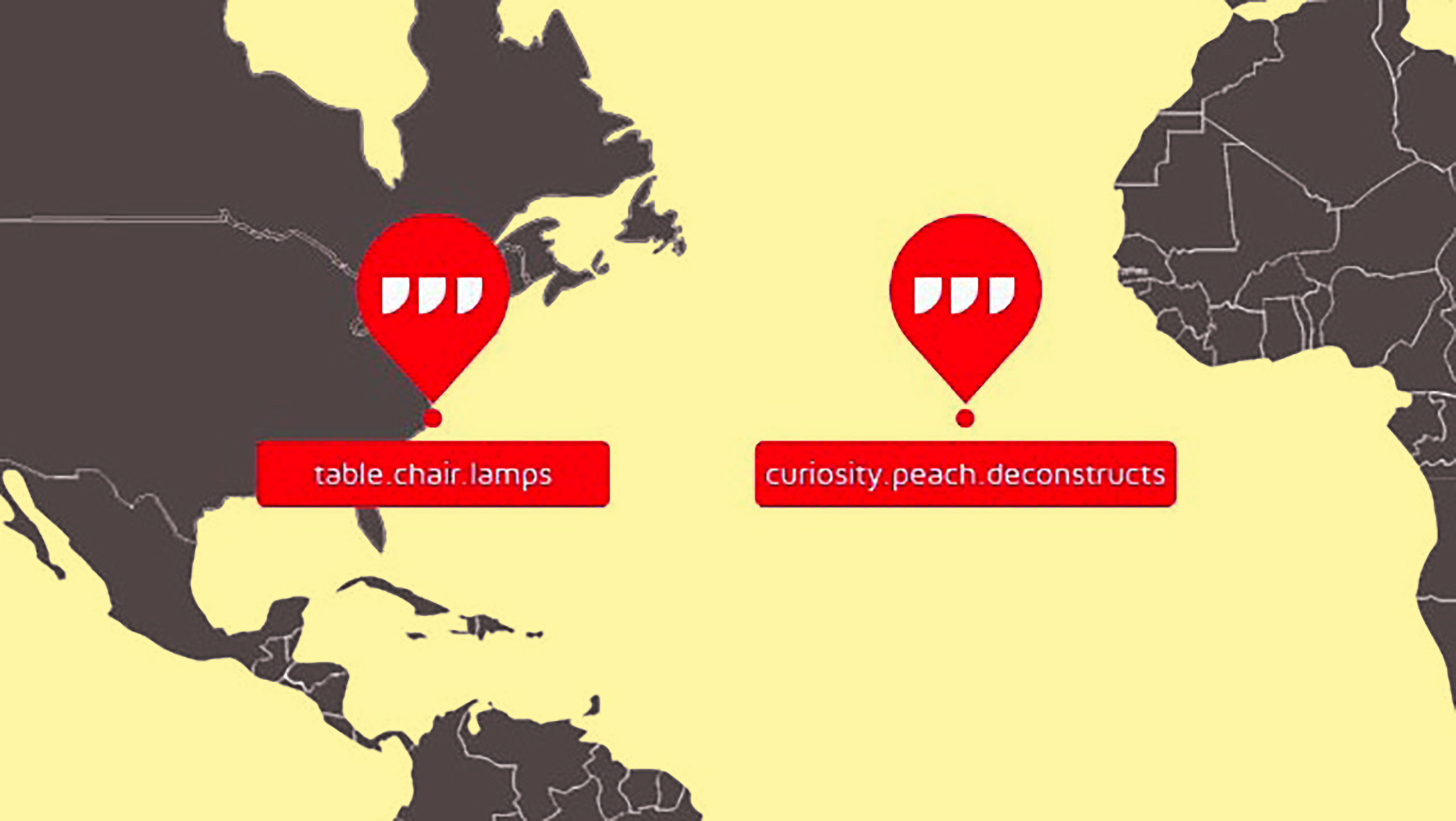
Locate any of the 57 trillion three-by-three-metre squares on Earth with just three words.
This is how the world economy will grow through the year 2024, as predicted by Harvard University’s Center for International Development (CID).
Nothing fans the flames of nationalism like the sense of historical wrongs as yet “unrighted.”
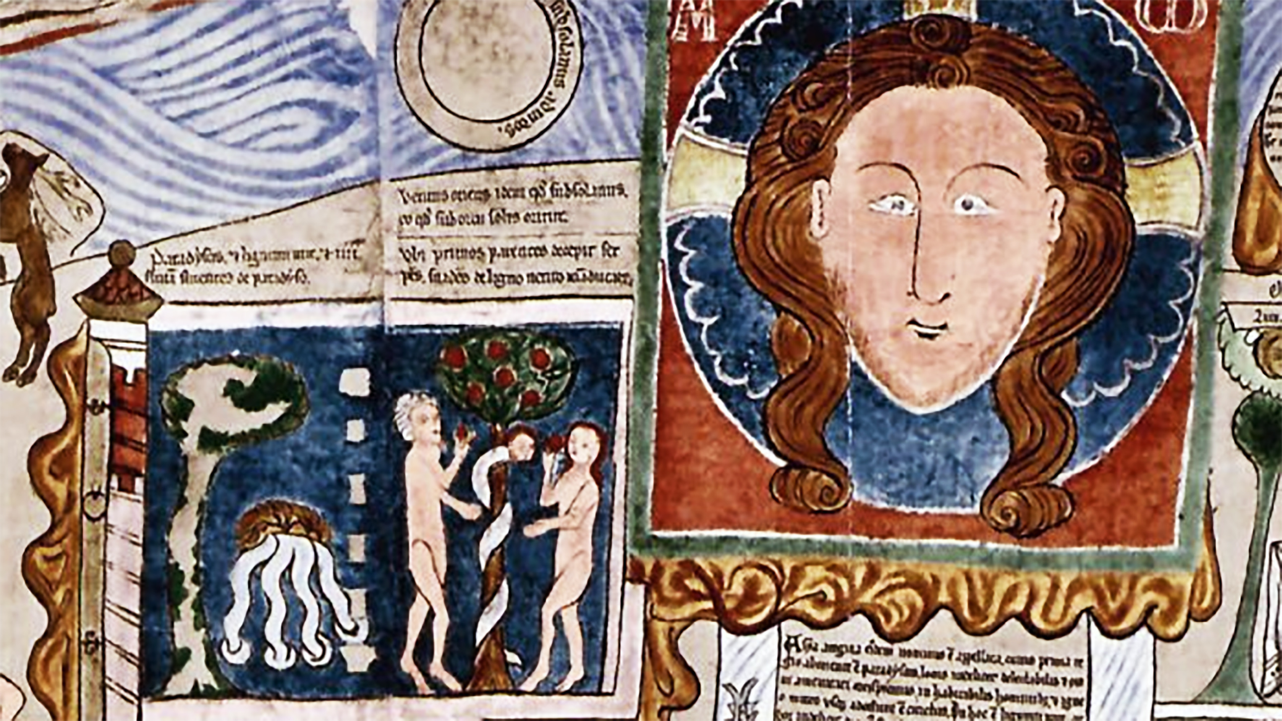
After then-president George W. Bush phoned Jacques Chirac, his French counterpart had to consult a biblical scholar to make sense of the conversation.
