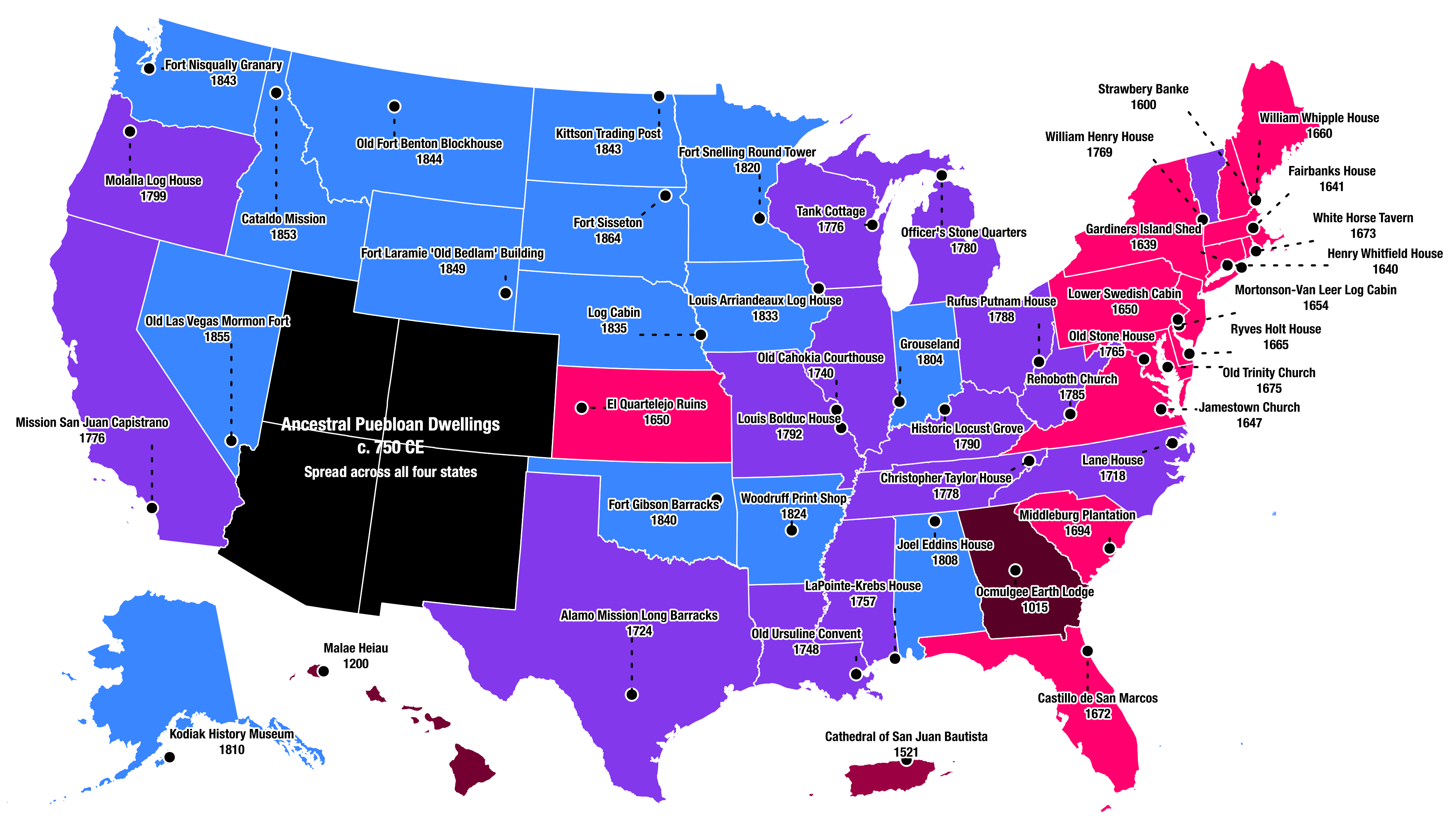
Map shows oldest buildings for each U.S. state – but also hints at what’s missing.
Search Results
You searched for: strange maps
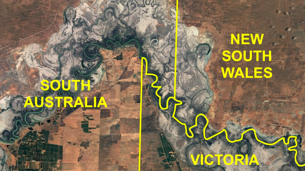
Victorians want to rectify 19th-century surveying error – and become South Australians.
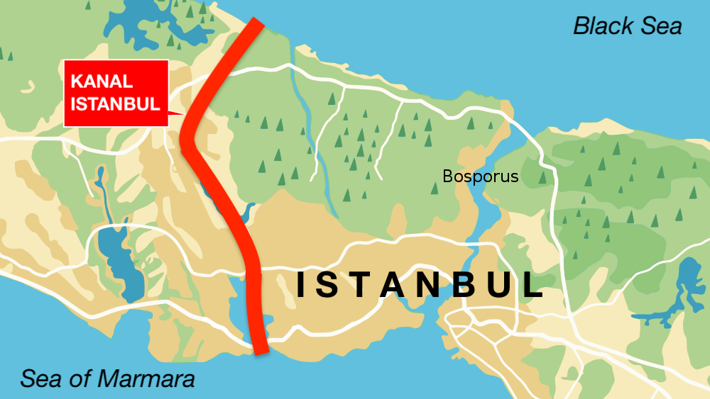
‘Kanal Istanbul’ would create a second Bosporus – and immortalize its creator.
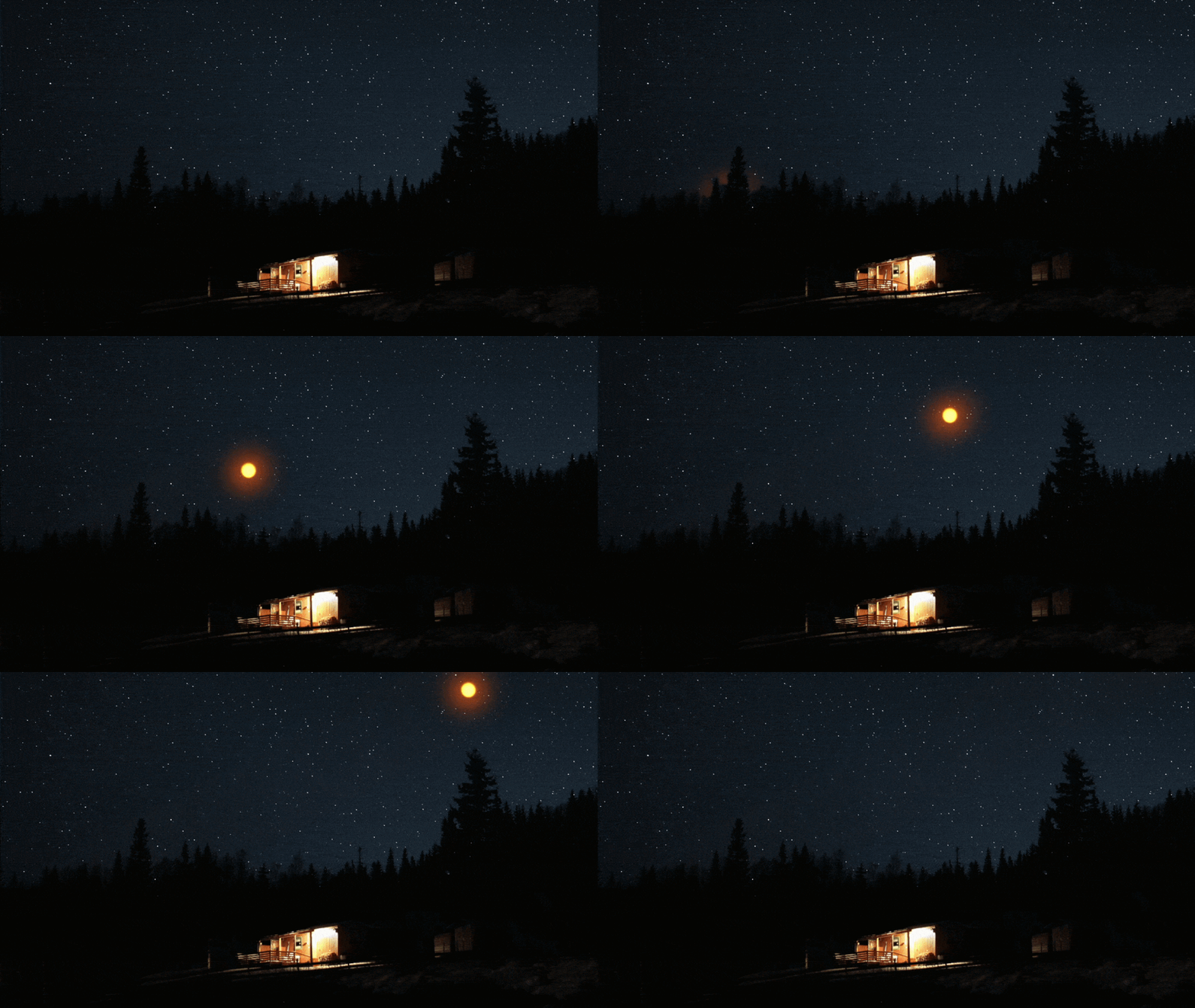
Lots of people have seen lots of bizarre events and phenomena that defy our conventional experience. But is there a scientific explanation?
The Data Atlas of the World specialises in simple yet revealing maps of the world.
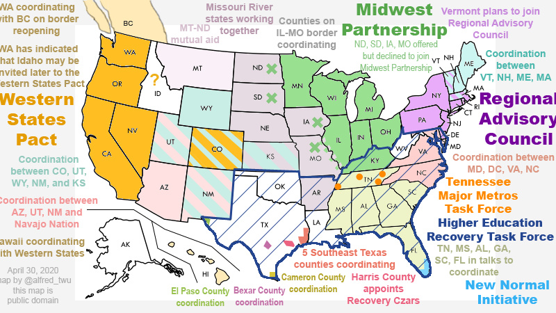
Across the land, state-driven pacts, partnerships, councils and task forces replace a coordinated federal response.
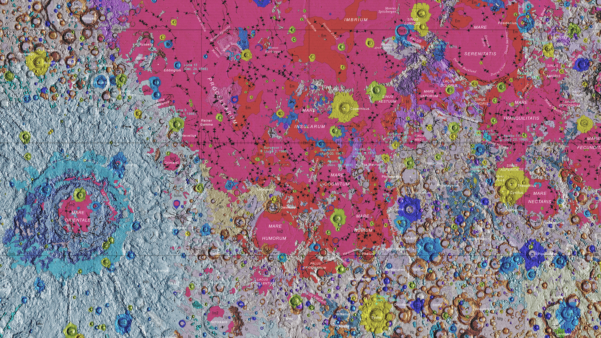
USGS’s ‘Unified Geologic Map of the Moon’ is the definitive blueprint of the lunar surface.
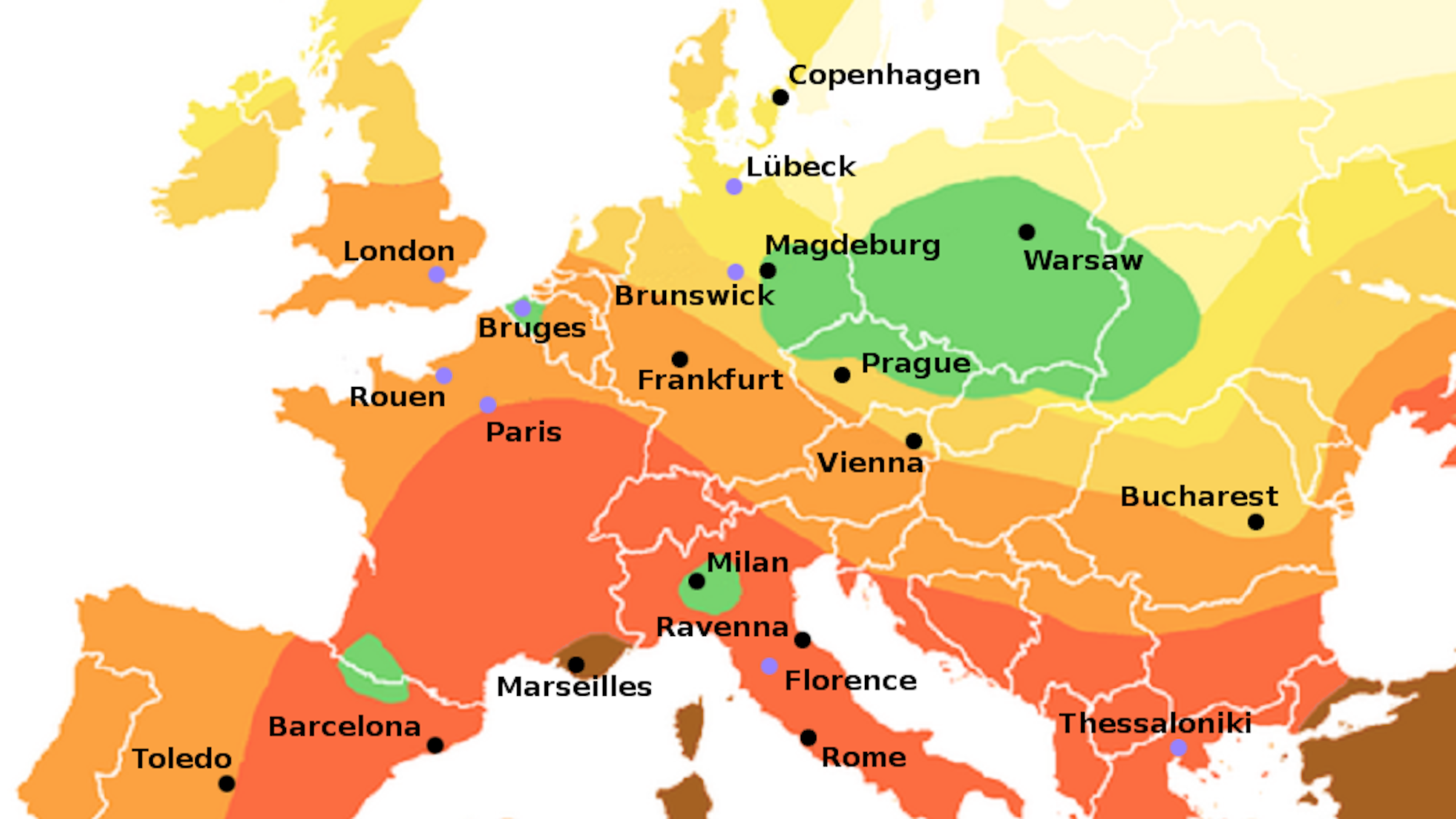
The Black Death skipped certain parts of Europe – and that could be a lesson for today’s coronavirus epidemic
Minnesota earned its ‘blue mark’ in the 1975 Morris earthquake, which had its epicenter in the western part of the state.
Penguin poop and climate change are fuelling the spread of ‘snow algae’ down the Antarctic Peninsula
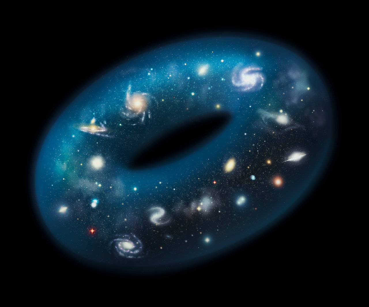
Is the Universe finite or infinite? Does it go on forever or loop back on itself? Here’s what would happen if you traveled forever.
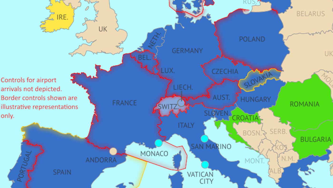
Europe’s border closures due to coronavirus go against a fundamental freedom enshrined in the Schengen Agreement.
Trump’s Middle East peace plan contains the first map of a Palestinian state that ‘Israel can live with’.
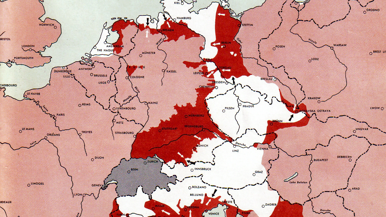
U.S. Army maps show how Western and Eastern Fronts met by May 1, 1945.
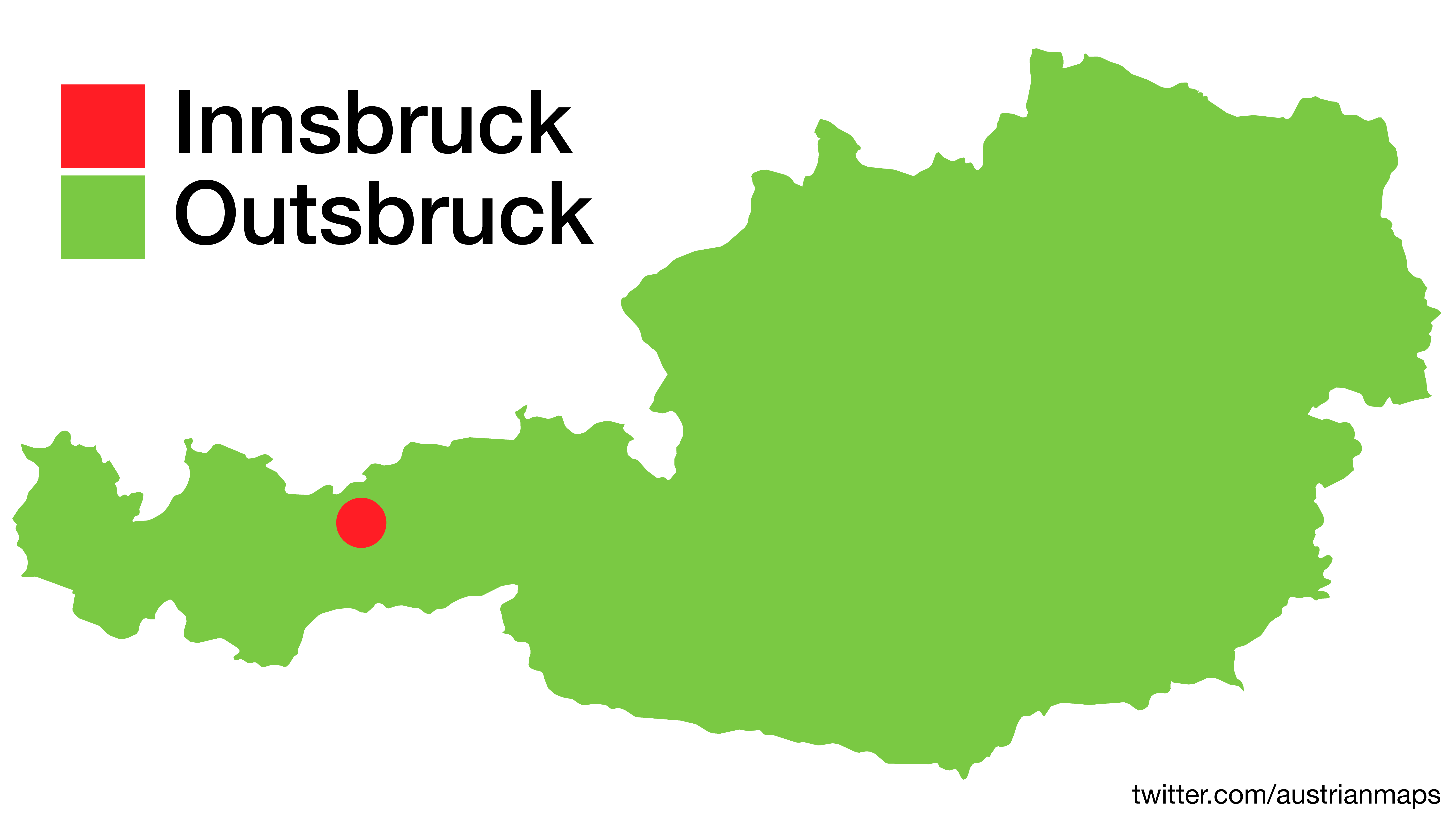
And after these 10 surprising maps, the Alpine republic will never look the same again.
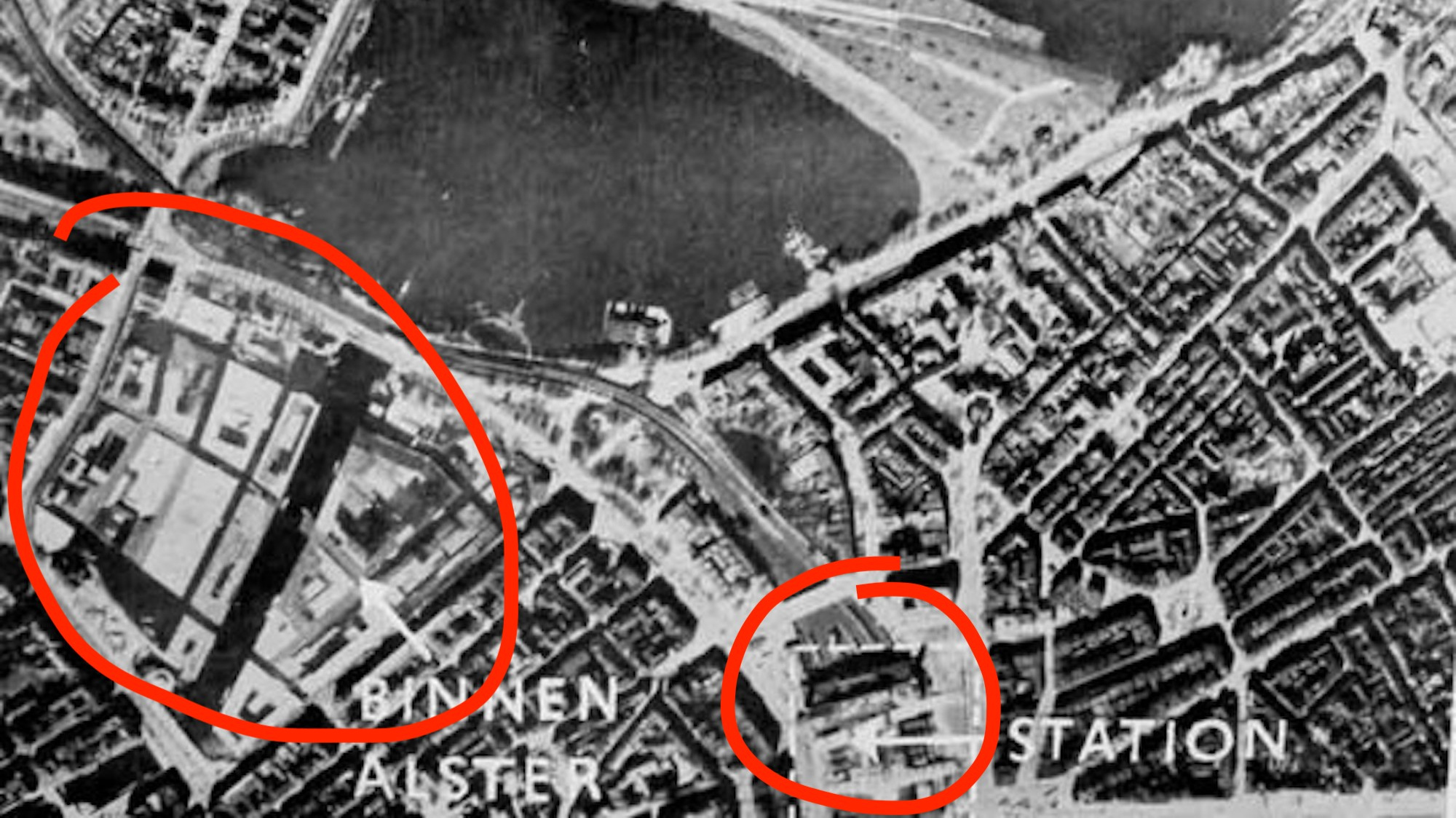
‘Operation Invisibility Cloak’ was a waste: Hamburg would soon be firebombed to bits
Gods and angels have been replaced with hi-tech extraterrestrials.
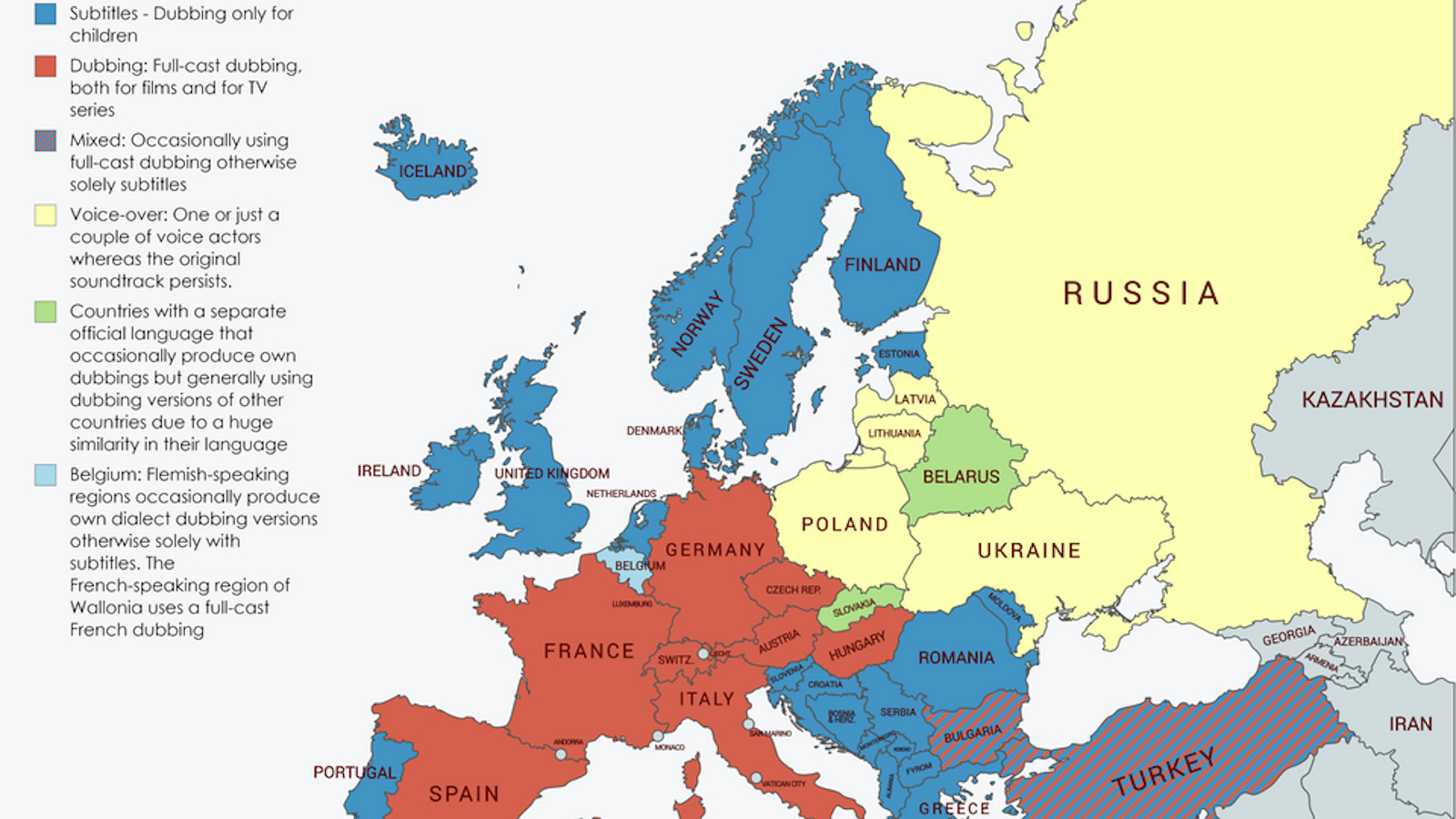
Europe is divided on whether films should have subtitles or different audio tracks.
We know more about the universe than what is beneath our feet. But Earth’s mantle holds subtle clues about our planet’s past.
Measurements of the acceleration of the universe don’t agree, stumping physicists working to understand the cosmic past and future. A new proposal seeks to better align these estimates — and is likely testable.
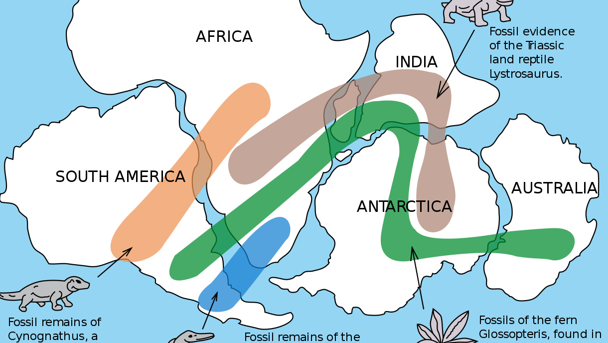
From the mid-19th century, fossils were used as evidence for continental drift – but mainstream scientists didn’t buy it until the 1950s.
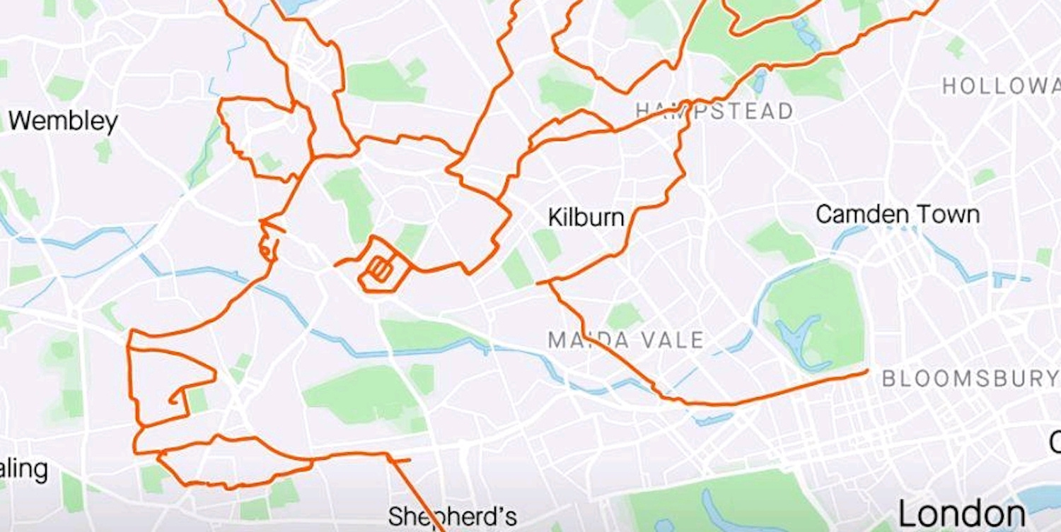
Giant Christmas image took 80 miles and nine hours to make
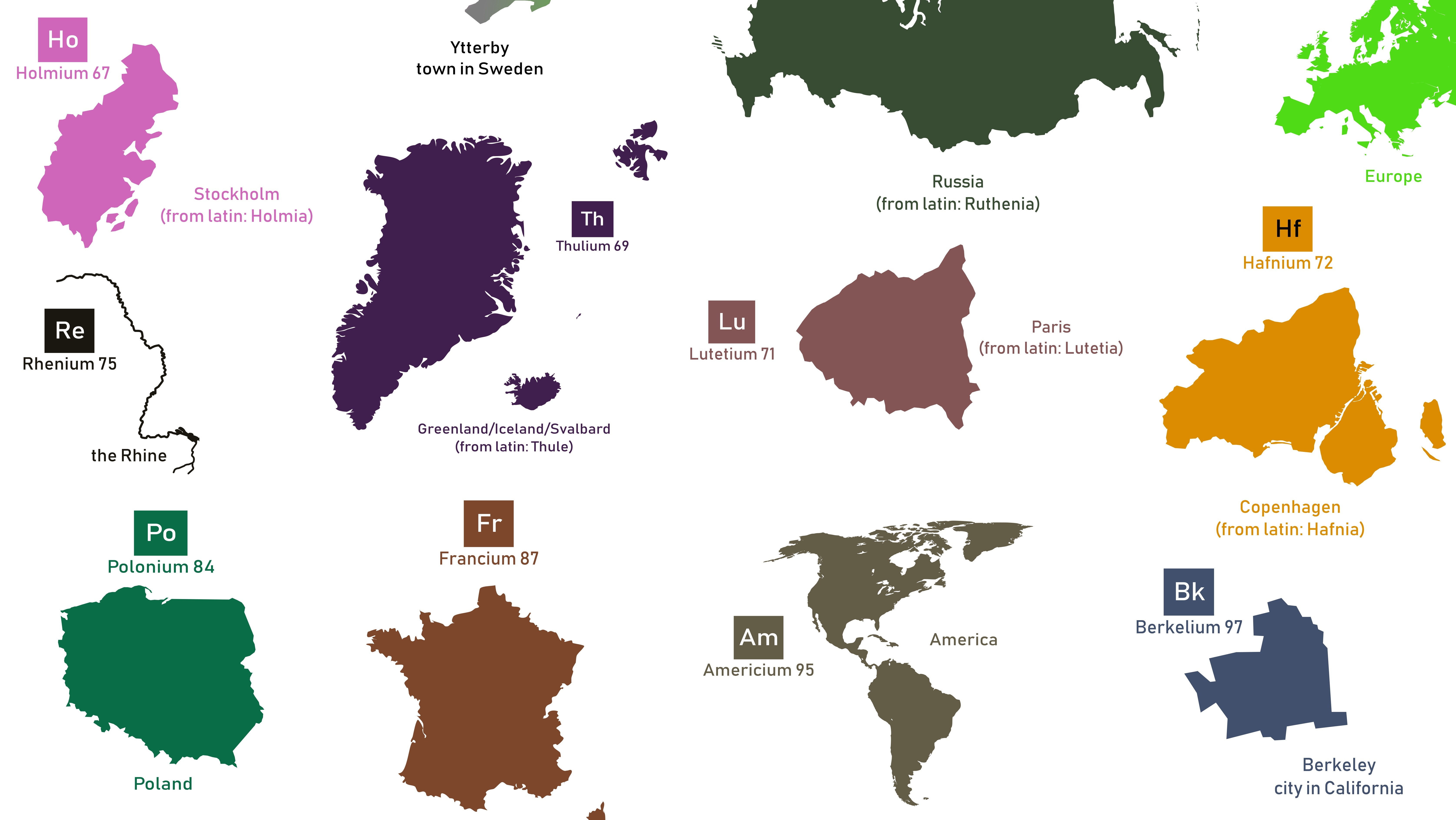
Can’t memorize all those elements? If you’re more into geography, perhaps this will help.
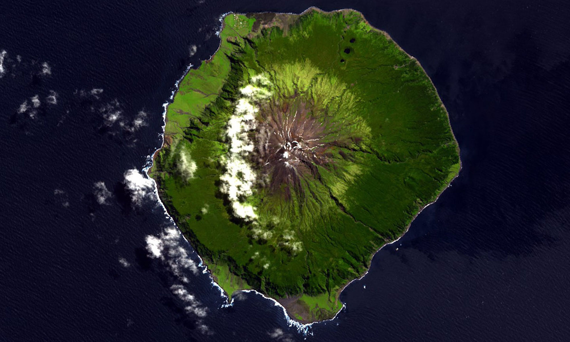
The world’s most isolated inhabited island also has some of the world’s strangest toponyms.
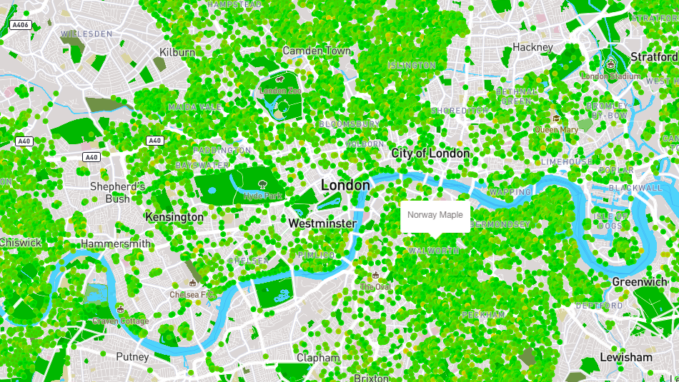
TreeTalk finds rare arboreal treasures among London’s common foliage.
India finishes last of 60 countries in environment and sustainability, as ranked by the expats who work there.
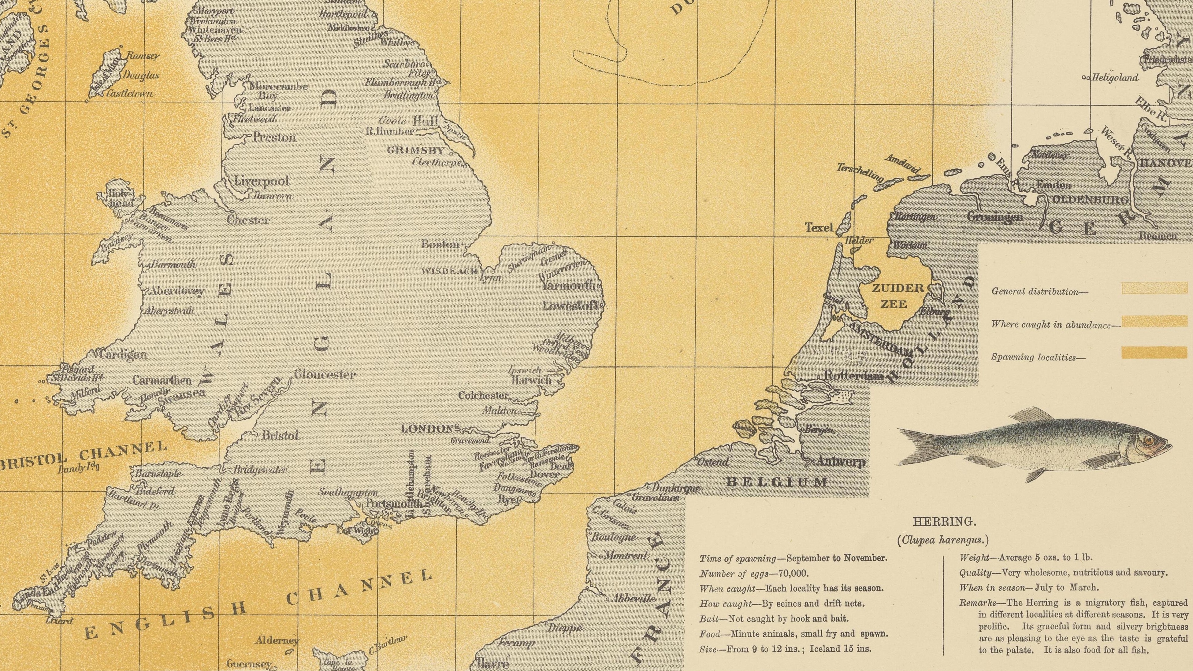
O.T. Olsen’s gorgeous ‘Piscatorial Atlas’ (1883) describes a world now destroyed and forgotten
European Word Translator: a simple idea adds a cartographic flourish to Google’s online translation service
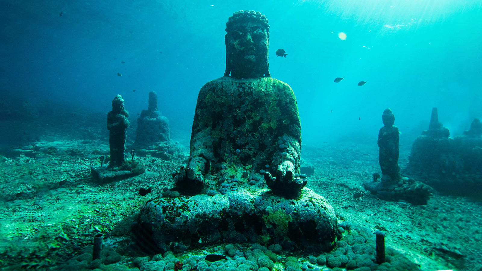
Some artifacts drown in shipwrecks, others are taken by the tide. Many others will vanish as a result of climate change and rising sea levels.
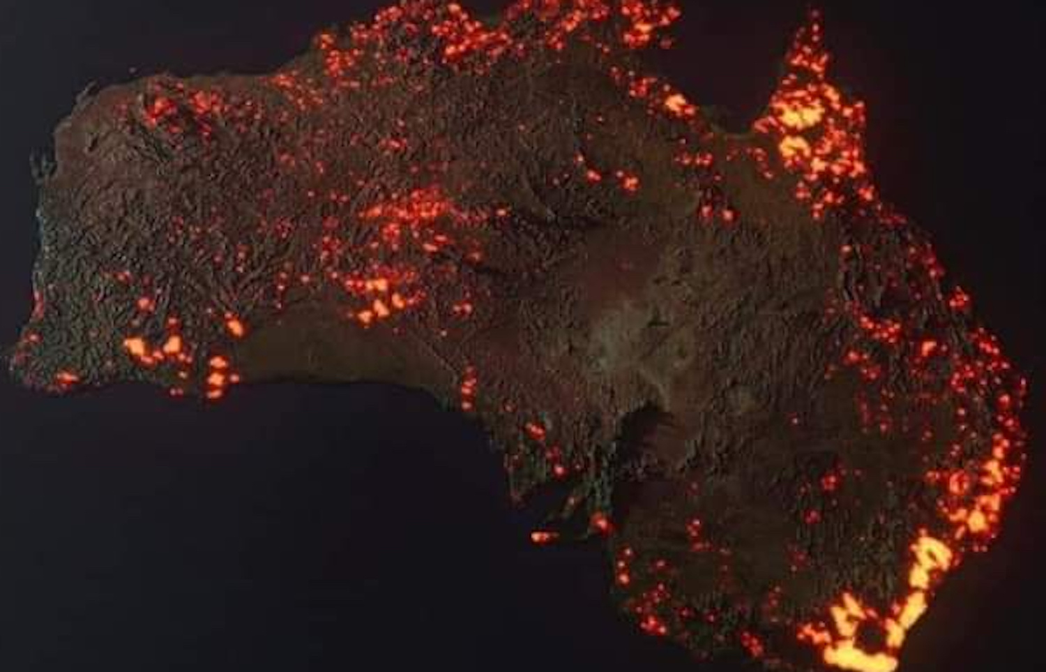
Viral ‘photo’ is composite image, but other map shows true and growing size of devastation
