A Pacific counterpart to Atlantis, Mu is supposed to have been a large continent in the middle of the ocean and the home of an advanced civilisation, having sunk beneath the […]
All Articles
A British map, I presume, made between 1937 and 1940, showing the German plans for the conquest of Europe “revealed by Secret Nazi Map” – I don’t know if that […]
Another propaganda map dating from just before World War II, but this time from the Nazi-German side. One of the first victims of fascist agression was Czechoslovakia, dismembered at the […]
Although you probably instantly recognise its shape on a map, you may be forgiven for never having heard of Jutland. This northern European peninsula is not an independent entitiy: it’s […]
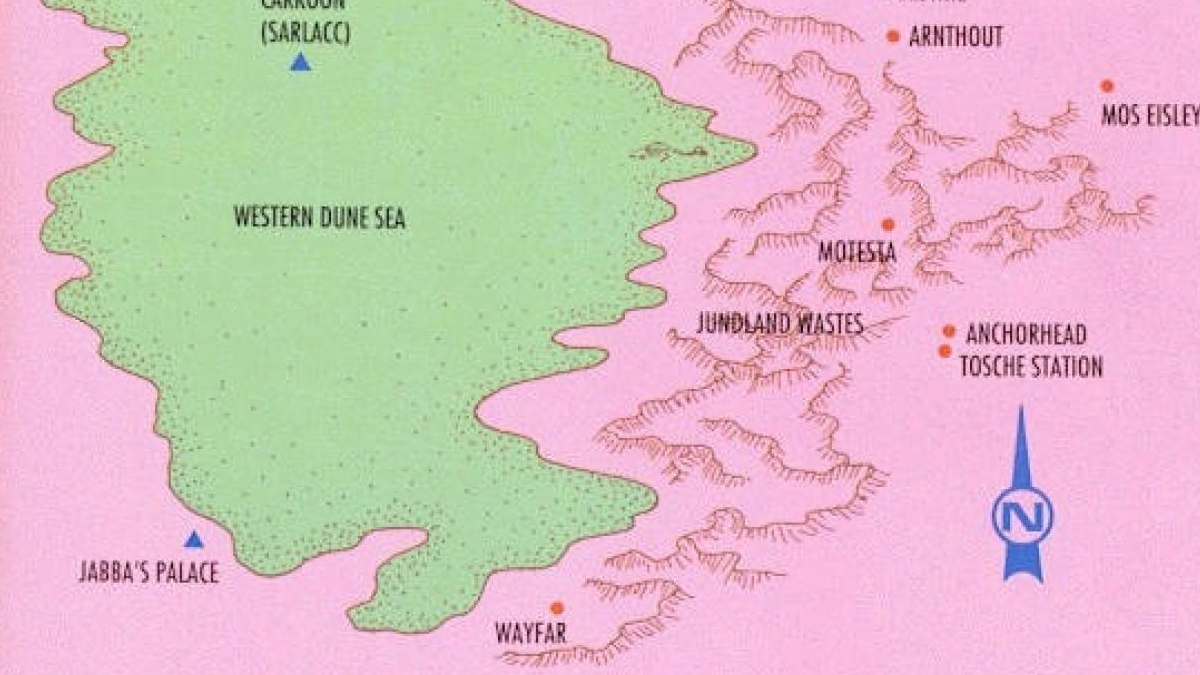
Ironically, the original name for the desert planet is Berber for ‘water springs’
Post #38 of this blog showed a spoof map of the world, supposedly according to Ronald Reagan – the avuncular 40th President of the US, an icon of conservatism to some, […]
Maps on old postcards look really cool, I think (see previous post). So I looked for another one, and found this postcard, dating from 1929. Coincidentally, it illustrates another area […]
In 1849, the Mormons who had recently settled the Wild West near the Great Salt Lake, ‘proposed’ the state of Deseret. It’s not clear to me whether this ‘proposal’ equalled […]
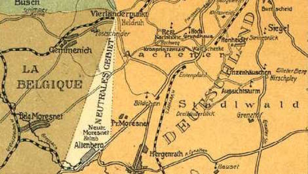
Amikejo was located in Neutral Moresnet, a geopolitical anomaly that managed to survive for a whole century after the Congress of Vienna.
This map illustrates the ‘Totem Foods’ of North America, celebrating “the many distinctive regional food traditions on the North American continent by featuring a totem food key to the identity of […]
The application of the suffix -stan (Persian for ‘home’) generally refers to countries in central Asia – in fact, the formerly Soviet states that occupy Central Asia are sometimes referred […]
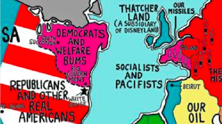
This parody map shows the world as Ronald Reagan (US president 1980-1988) might have imagined it. Even as parody, it indicates an interesting duality: on the one hand, it presents […]
A variation on post #10 in this blog, done by Alexander Cheek and to be found on this page of his website. The differences between these two maps indicate that […]
The The once sang about Great Britain being the ’51st State of the USA’ – a comment on the culture and foreign policy of the United Kingdom, which were then […]
This isn’t a political, but a commercial world map: it specifies the six distinct global ‘DVD regions’ of the world. DVD is short for ‘digital video disc’, the successor to […]
n Russell Richards is an artist who (as far as I can tell) lives and works in Charlottesville, Virginia. I like his work, very funny and direct. In my mind, […]
They could have made it more complex, but they would have had to try very hard
Post #12 shows a map identifying three core areas of Europe with transition zones in between. This map here has a different approach to European cultural diversity. On the one […]
Beyond the pale is an English expression for anything beyond the limits of the law or of accepted morality. The aforementioned ‘pale’, far from being a symbolic separator, at one time […]
This map is yet another dissection of Europe, this time focussing on the north-south divides in the continent. Some of the boundaries here were already present in one or both […]
All results of a nationwide election in the US can usually be translated into a ‘binary’ map, divided into red states (Republican, mainly in the middle) and blue states (Democratic, […]
I don’t remember where I got this map from, but the context seems quite straightforward. The two figures in the foreground are saying “ein Geschwür!” (literally: “an ulcer”) and “Da […]
‘Volkstaat’ is Afrikaans for People’s state – the people in this case being the white South Africans who identify themselves as ‘Afrikaners’ (mainly descendents of Dutch settlers, speaking a language […]
Funny how something as arbitrary as map orientation can skew the perception of countries. On this map, from the vaults of the Perry-Castañeda Library Map Collection at the University of […]
Now one of the smaller states, it once covered half the continent
Finland gained independence from Russia right after the Bolshevik Revolution of 1917. A civil war ensued, along the lines of the post-revolution conflict in Russia itself: ‘Reds’ against ‘Whites’. The […]
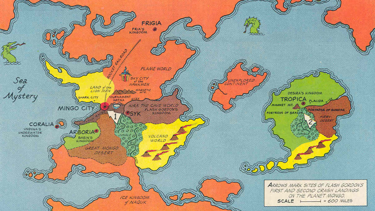
If you crave adventure, you couldn’t wish for a better alien planet on which to crash-land
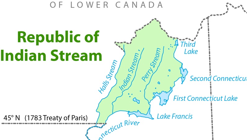
Double taxation without representation? No wonder this grey area declared its independence.
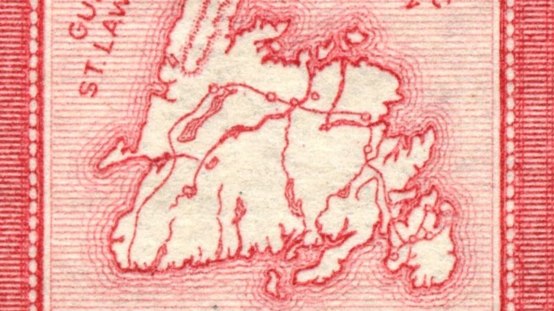
Not so much strange as just darn purty, this map of Newfoundland on a postage stamp, probably dating from before 1949, when it became a province of Canada (this happened […]
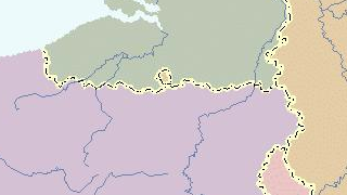
Belgium sits astride one of the main cultural fault lines of Europe, consisting roughly of a northern half that speaks Dutch and is oriented towards the ‘anglosphere’ and a southern […]
