Strange Maps
A special series by Frank Jacobs.
Frank has been writing about strange maps since 2006, published a book on the subject in 2009 and joined Big Think in 2010. Readers send in new material daily, and he keeps bumping in to cartography that is delightfully obscure, amazingly beautiful, shockingly partisan, and more. "Each map tells a story, but the stories told by your standard atlas for school or reference are limited and literal: they show only the most practical side of the world, its geography and its political divisions. Strange Maps aims to collect and comment on maps that do everything but that - maps that show the world from a different angle."
featured
All Stories
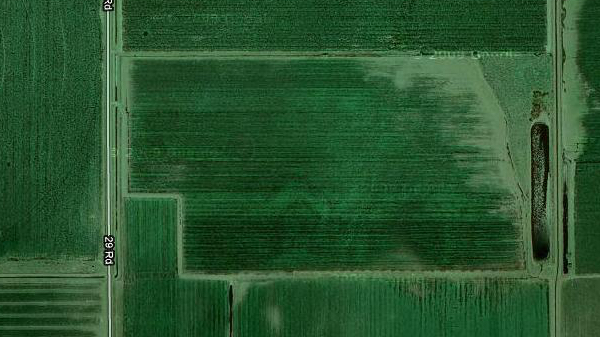
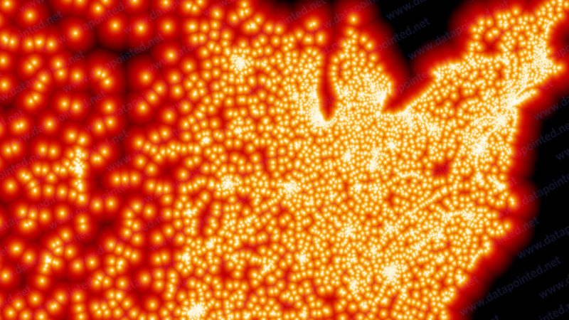
A few miles northwest of the small town of Minden, in the seemingly endless Nebraska plains, lies a field shaped like the state itself. By intelligent design or as an accident of agriculture? […]
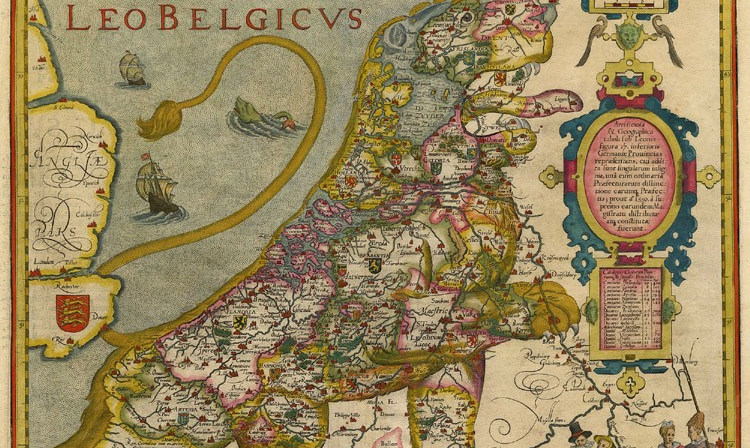
This cartographic predator was born in 1583, and would be cut in half barely 65 years later
The German polymath Sebastian Münster (1488-1552) also was a cartographer, and one with a penchant for strange maps. He produced an anthropomorphic map of Europe as a queen (#141) for […]
This extraordinary map, dating from 1675, details The Road From LONDON to the LANDS END Comencing at the Standard in Cornhill and Extending to Senan in Cornwall. It was made […]
I just love allegorical maps like these, if only for their delightfully straightforward semiotics. This map of the Road to Success depicts an actual road, winding up to success signified […]
n In September 1578, while sailing near Greenland’s southernmost point at Cape Farewell, captain James Newton of the Emmanuel recorded in his log the first sighting of an island “seeming […]
The Wheel of Mainz is an essential element of the heraldry of the German city and archbishopric of Mainz. It is a regionally prominent symbol in Rheinland-Pfalz (the Rhineland-Palatinate, one […]
Whether out of financial prudence or budgetary necessity, the annual summer vacation has been a “staycation” for millions of families during this recession year. Local attractions have had to do, […]
n At 404 inhabitants per square kilometre (1,040/mi2), the Netherlands is one of the most densely populated nations in the world (1). The country’s population density, over 23 times the […]
n The German language describes the difference between two main types of federal states aptly and concisely as being between a Bundesstaat (1) and a Staatenbund (2). The European Union, […]
n It was recently revealed that the recently deceased Michael Jackson thought he might have “cured” Adolf Hitler of his evil ways if he’d had an hour or so alone […]
With a society prospering in splendid isolation and a population smaller than one-thousandth of the EU total (1), Iceland until recently had little incentive to be subsumed by the Brussels […]
Like Russia or the UK, Turkey is the successor state to a once dominant world power. And much as in those other countries, nostalgic memories of Empire (the Ottoman one, […]
n How little information do you need to be able to draw a map? This zen-like question provided the basis for a short article in the May 21st, 1971 issue of […]
Faith and reason, usually jostling for primacy over one another, unite on this map to describe [t]he Earth-sphere after the Deluge in its broken state, shown with Mountains and valleys, […]
Designed by J.R.R. Tolkien’s son Christopher and included in most editions of the Lord of the Rings trilogy, the map of Middle-Earth is one of the best-known examples of fantasy […]
The weird sport of hunting for animals in maps
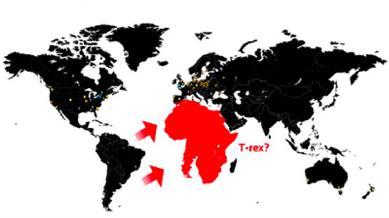
A strange return to the age of the dinosaurs
Yes, but are they christianised Turks, or turkified Bulgars?
The McFarthest place is somewhere in South Dakota
n Italy’s famously boot-like appearance might be what gave Emad Hajjaj the idea for this footwear-oriented world map. Hajjaj, a cartoonist for the Jordanian newspaper Al-Ghad, manages to craft all […]
This world map slices up the globe into two egg-shaped pieces and, for some reason, a kidney-shaped one. It purports to show the world’s three panregions (*), and the world […]
n In London Orbital, writer, walker and Londoner Iain Sinclair approaches his favourite subject – his home town – by circumambulating it. The book details his trek along the M25, […]
n As seemed to be the rule in those days, Shane MacGowan‘s stage appearance was over in minutes. After incomprehensibly muttering the lyrics to a new song, a couple of roadies […]
At last, the worlds of cartography, vexillology and population statistics meet! This map was inspired by earlier maps of the US, with its states renamed for countries with a similar GDP […]
If there were only 100 people in Ireland, 55 of them would be speaking only English, 39 of them would be speaking mainly English, and occasionally Irish, 2 of them […]
n Fixing her regional loyalty in indelible ink on skin, Julia had a map of Portland, ME tattooed on her shoulder. A comparison with the more conventional map on the […]
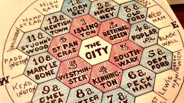
How long does it take to travel from London to elsewhere? The answer is provided by this map, showing a set of expanding circles centered on the British capital, each […]
