Soufriere Hills from space

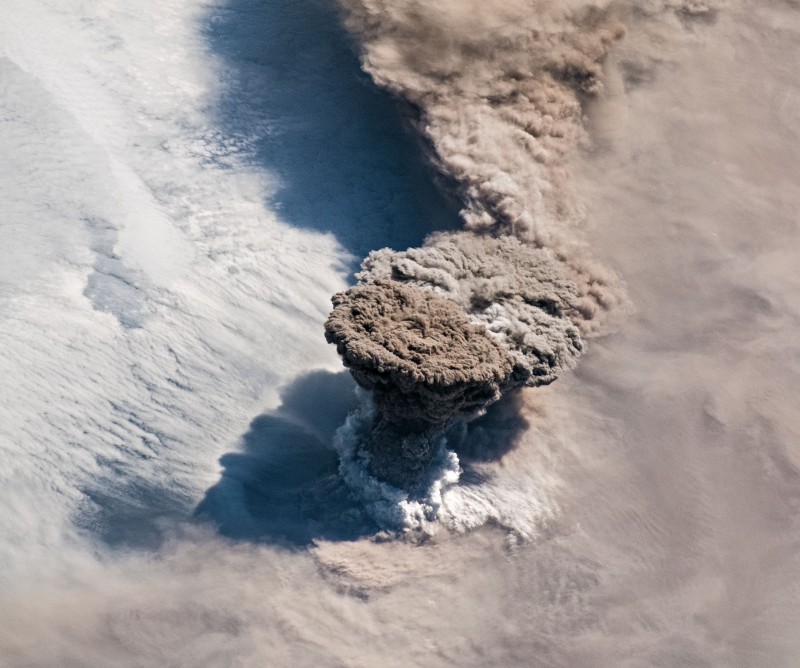
nnThe latest eruption of Sourfriere was captured from space, and NASA has just released the MODIS picture of the volcano in action. The image (above and linked) was taken 2 days after the first explosion of this unanticipated and unexpected eruption – December 4. You definitely get the idea of how much of the island of Montserrat is taken up by the volcano itself (pretty much all of it). Not much else to report on Soufriere Hills beyond the update from MVO (via SI/USGS) for the end of last week:n
On 3, 4, and 5 December small, relatively slow moving pyroclastic flows traveled no more than 3.2 km down the Gages valley. In periods between the events, near-continuous emissions of ash-laden steam were noted. The Hazard Level remained at 3.
nSo, beyond the lack of any precursory activity, sounds like eruption-as-usual on Montserrat.
