india
The study found that people who spoke the same language tended to be more closely related despite living far apart.
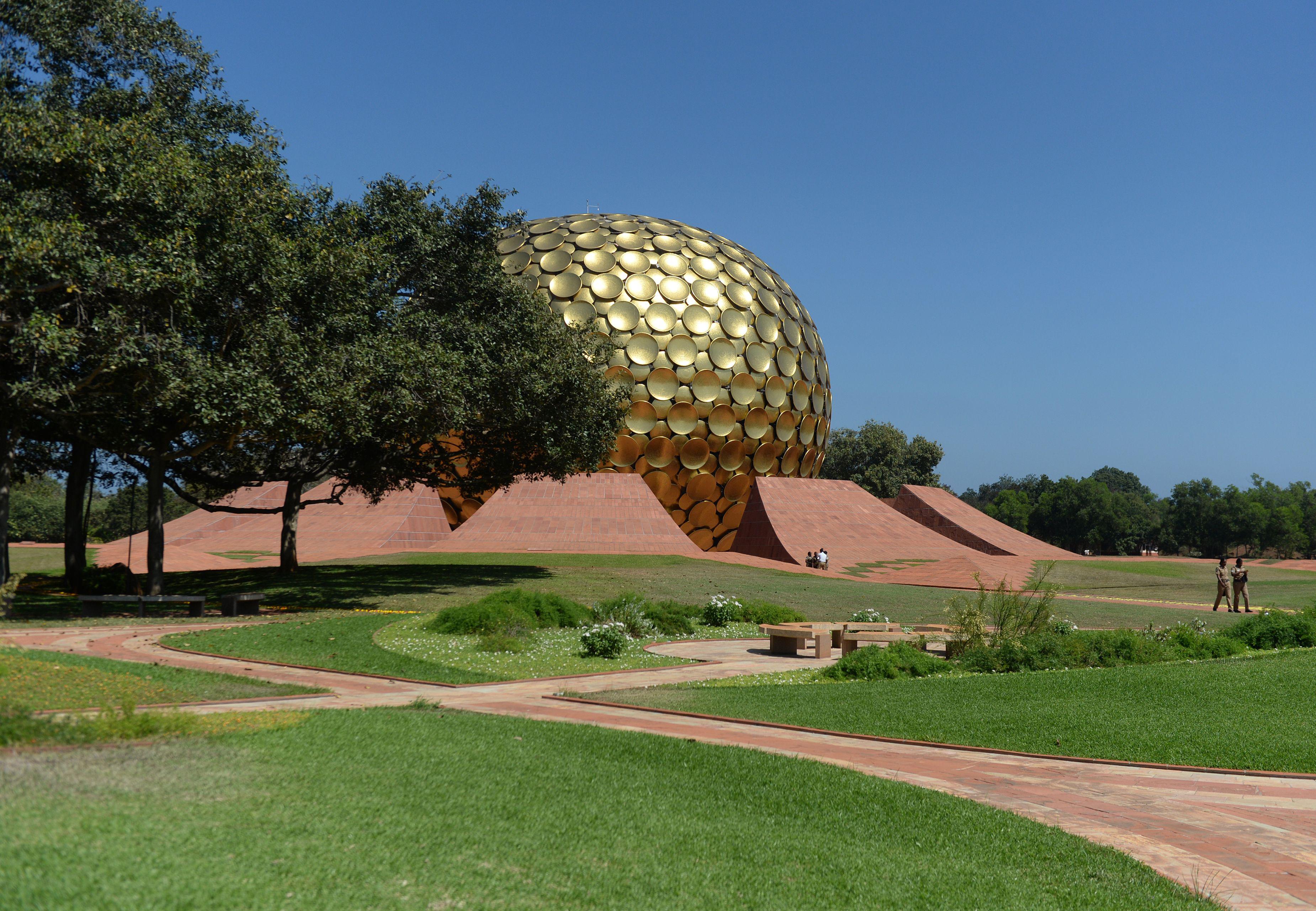
The author of “Auroville: The City Made of Dreams” talks about the difficulties of establishing (and writing about) utopian societies.

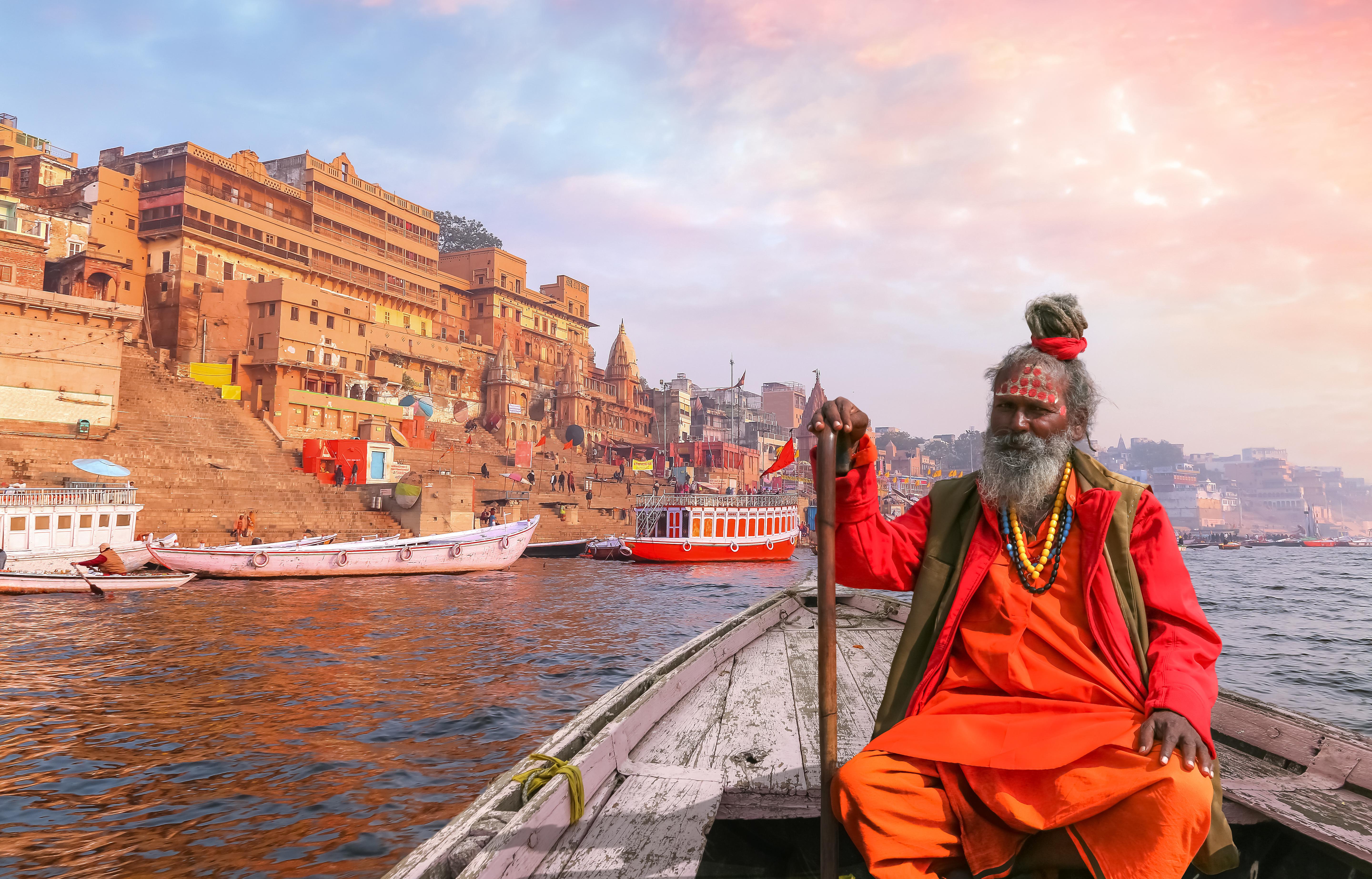
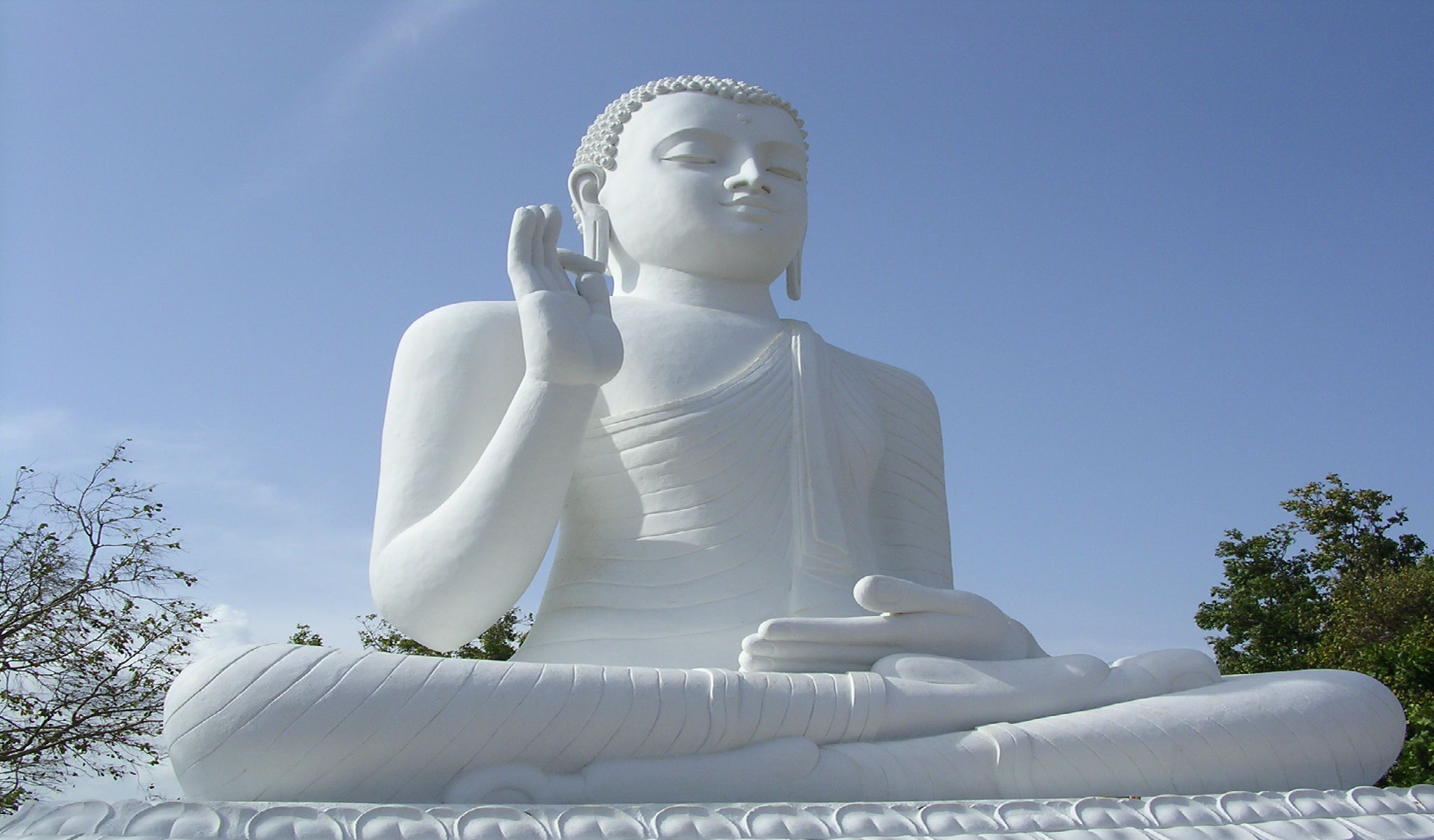
Eastern traditions have complex views on how karma affects your life.

Iranian Tolkien scholar finds intriguing parallels between subcontinental geography and famous map of Middle-earth.

Tiger reserves and a concentrated public effort has brought this animal roaring back to India.
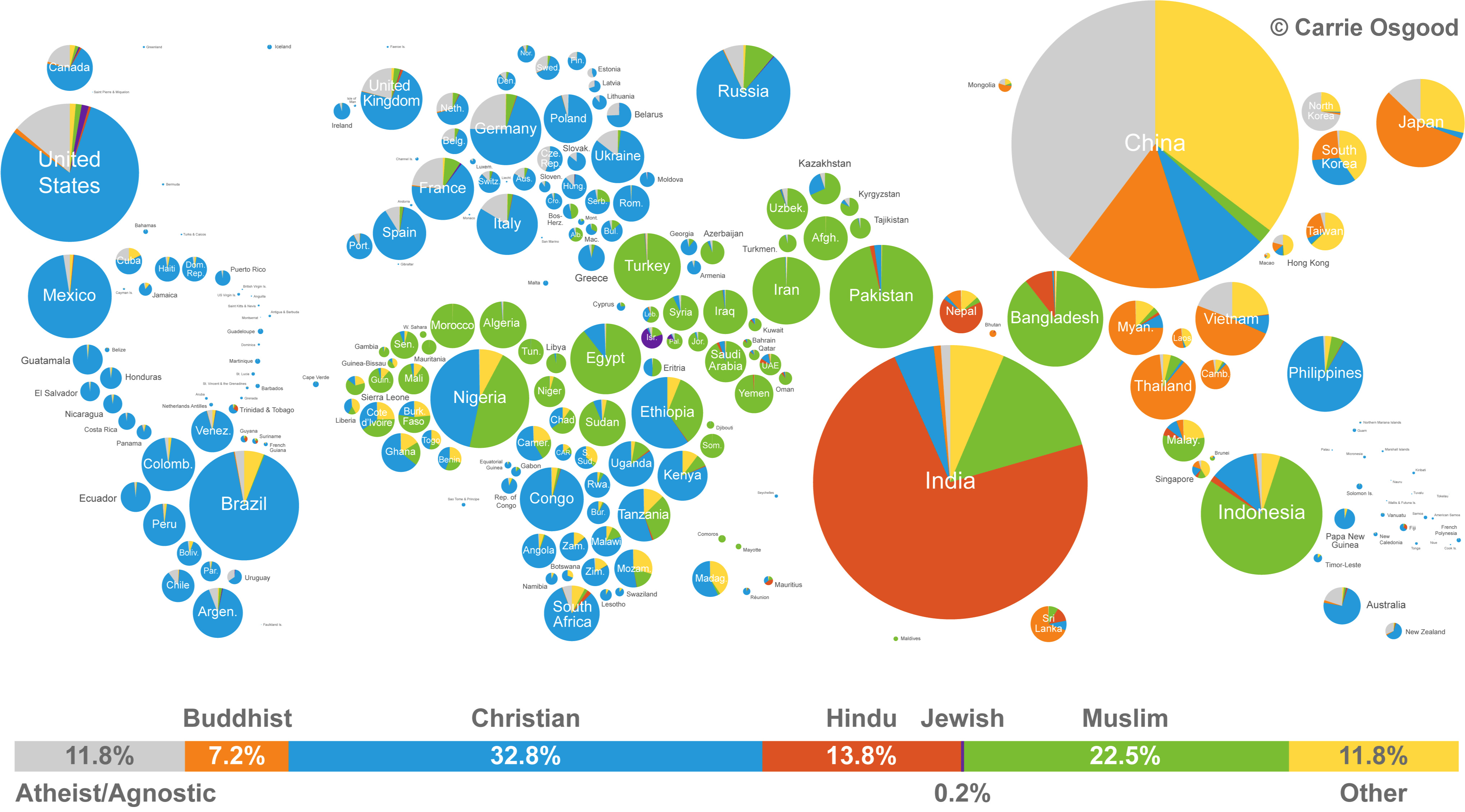
Both panoramic and detailed, this infographic manages to show both the size and distribution of world religions.
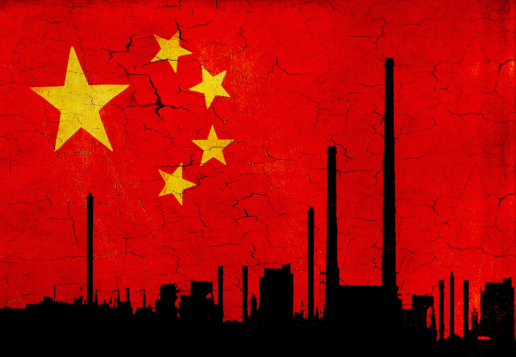
The report also predicts India’s economy will surpass the U.S. by 2030.

The social media company has long been expected to make a move into blockchain.
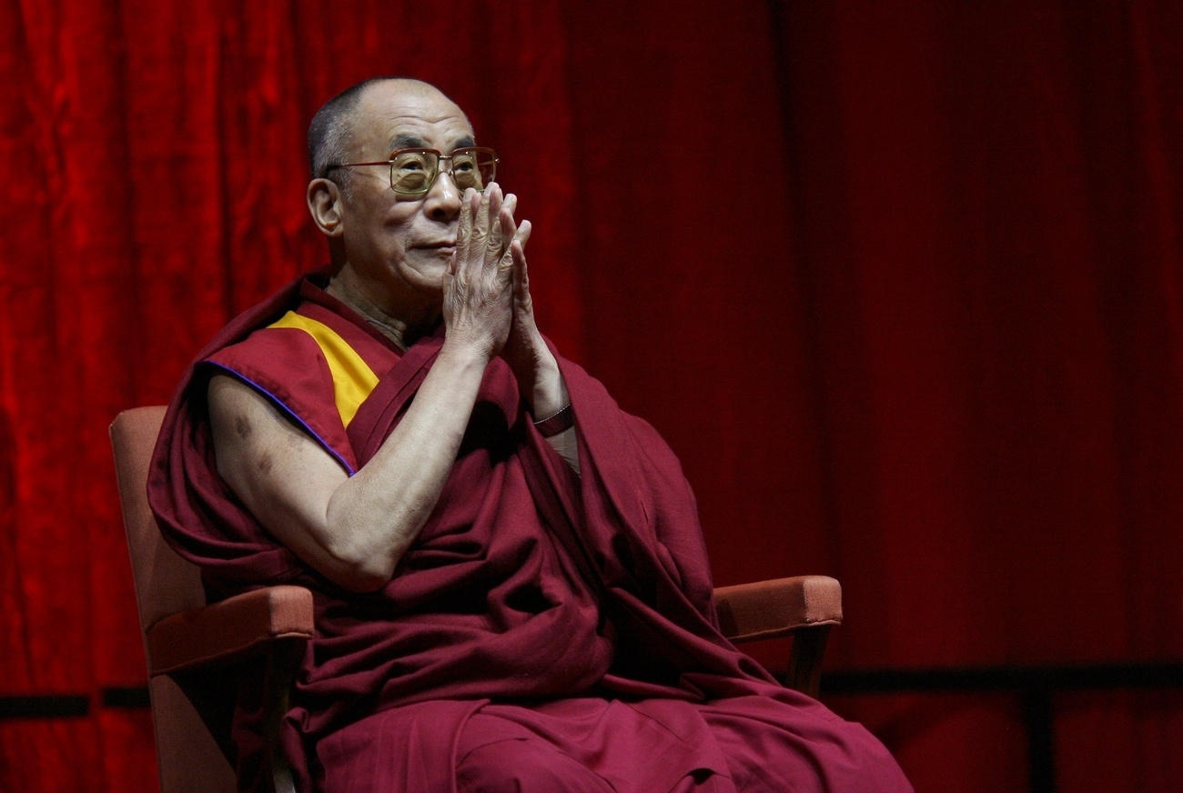
The Dalai Lama is important, so important that he might decide not to come back after his next death.

These great thinkers remind us that taking an unpopular, bold stance might not be madness.
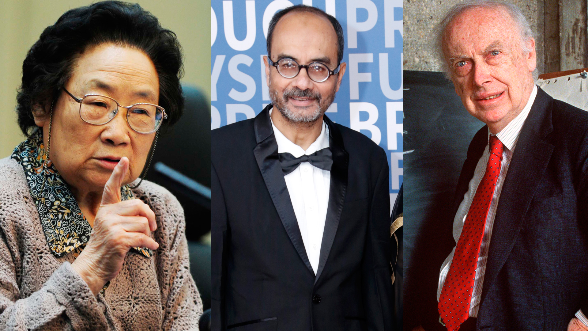
The most influential contemporary scientists and their accomplishments.
India is a vast land, rich in history, beauty, and great ideas. Here, we want to introduce you to ten great minds in Indian thought. These ten thinkers span thousands of years, include several religions, and more than a few fields of expertise.