Strange Maps
A special series by Frank Jacobs.
Frank has been writing about strange maps since 2006, published a book on the subject in 2009 and joined Big Think in 2010. Readers send in new material daily, and he keeps bumping in to cartography that is delightfully obscure, amazingly beautiful, shockingly partisan, and more. "Each map tells a story, but the stories told by your standard atlas for school or reference are limited and literal: they show only the most practical side of the world, its geography and its political divisions. Strange Maps aims to collect and comment on maps that do everything but that - maps that show the world from a different angle."
featured
All Stories
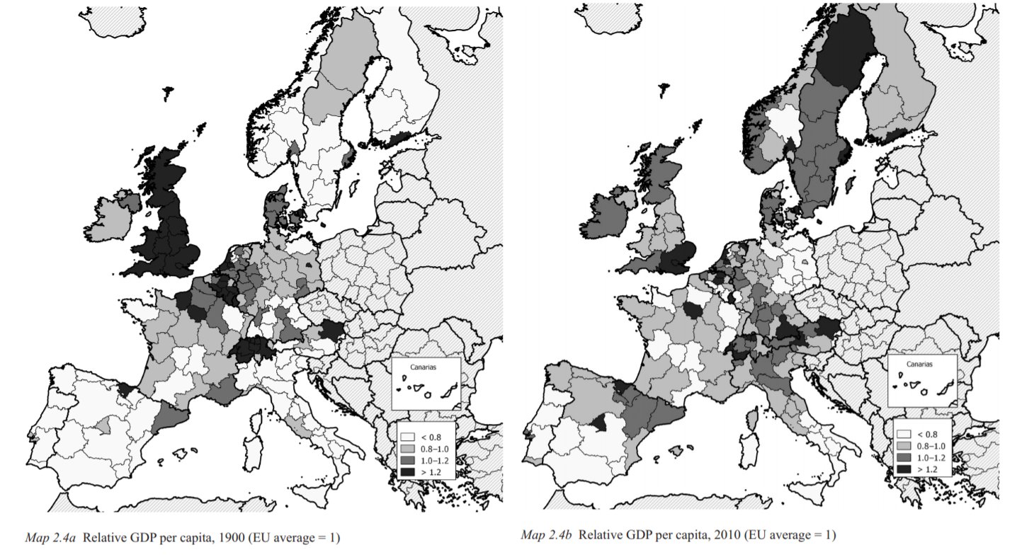
In 1900, the UK clearly was the richest country in Europe. That’s no longer the case.
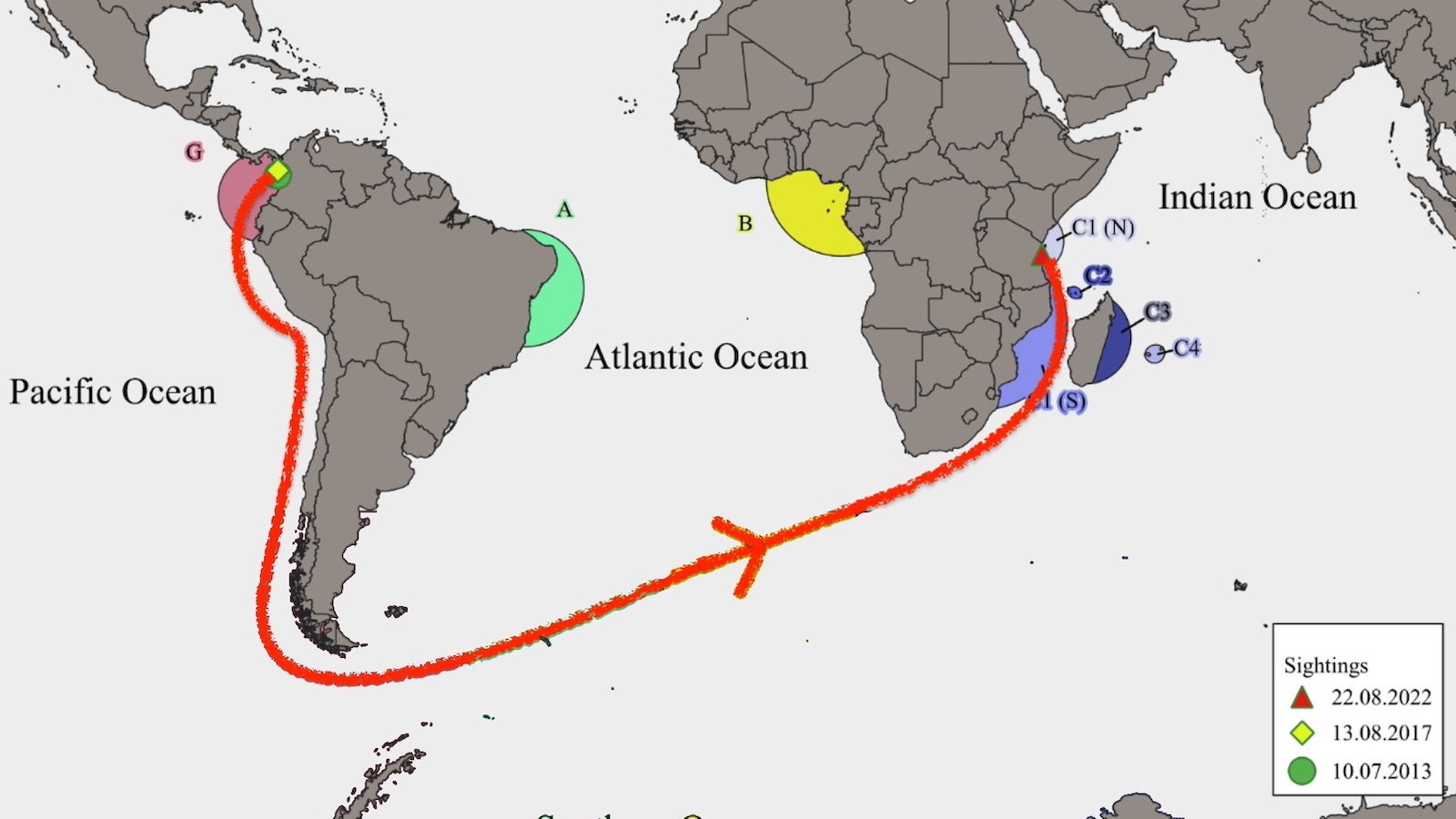
In 8,000-mile journey, a male humpback ditches Colombia for Tanzania — however, scientists don’t know why he made the trip.
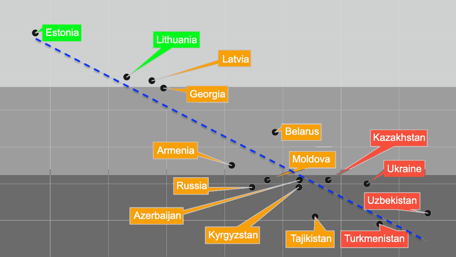
In post-Soviet nations where ministers have a relatively high BMI, corruption tends to be high, too.
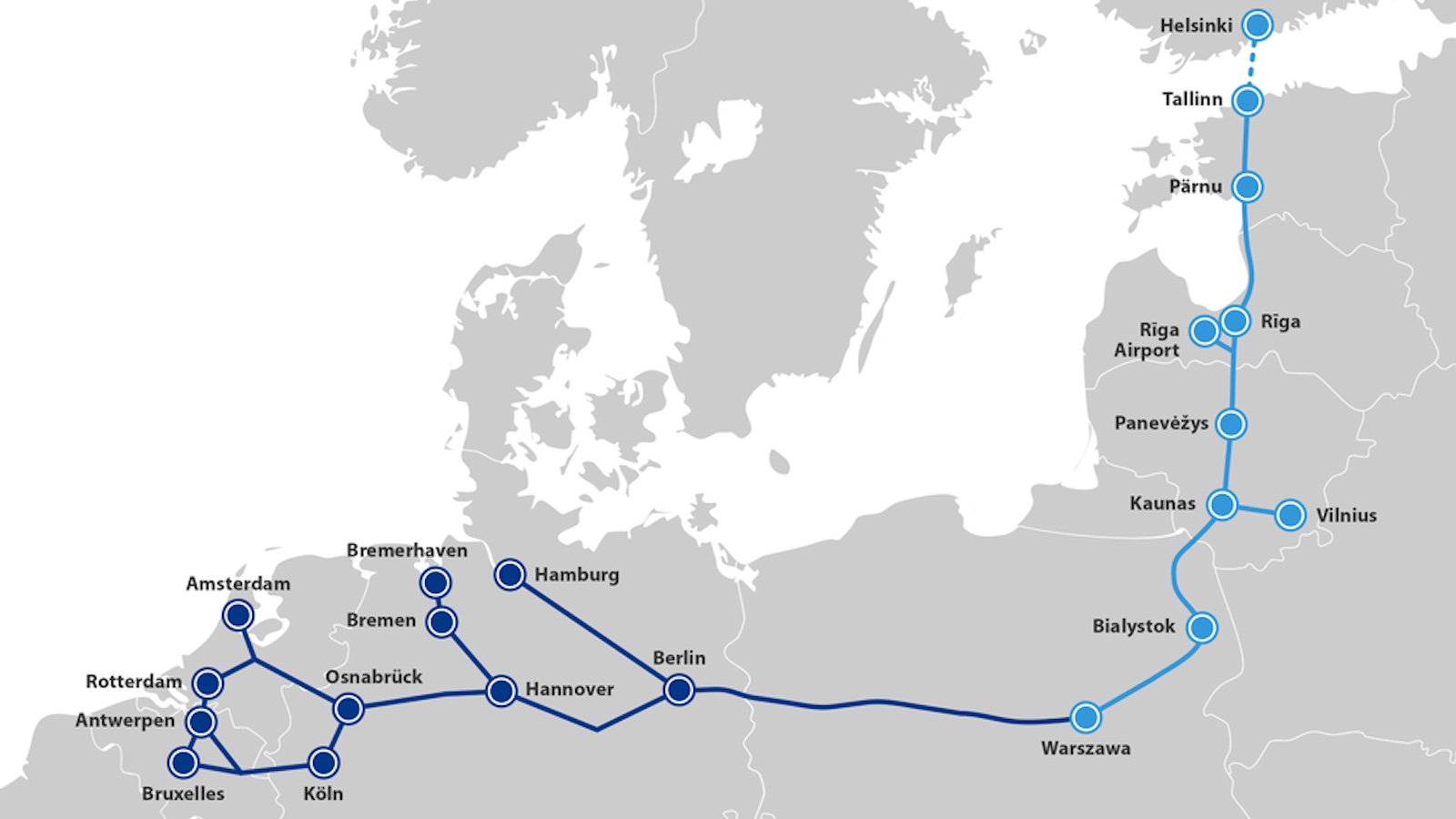
A new railway will switch the Baltic region’s train gauge from Soviet to standard European — a megaproject with political, economic, and military dimensions.
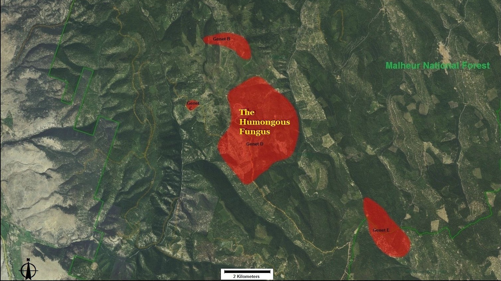
A member of a species that kills trees, this mushroom is not the first to be called the Humongous Fungus — and perhaps not the last.
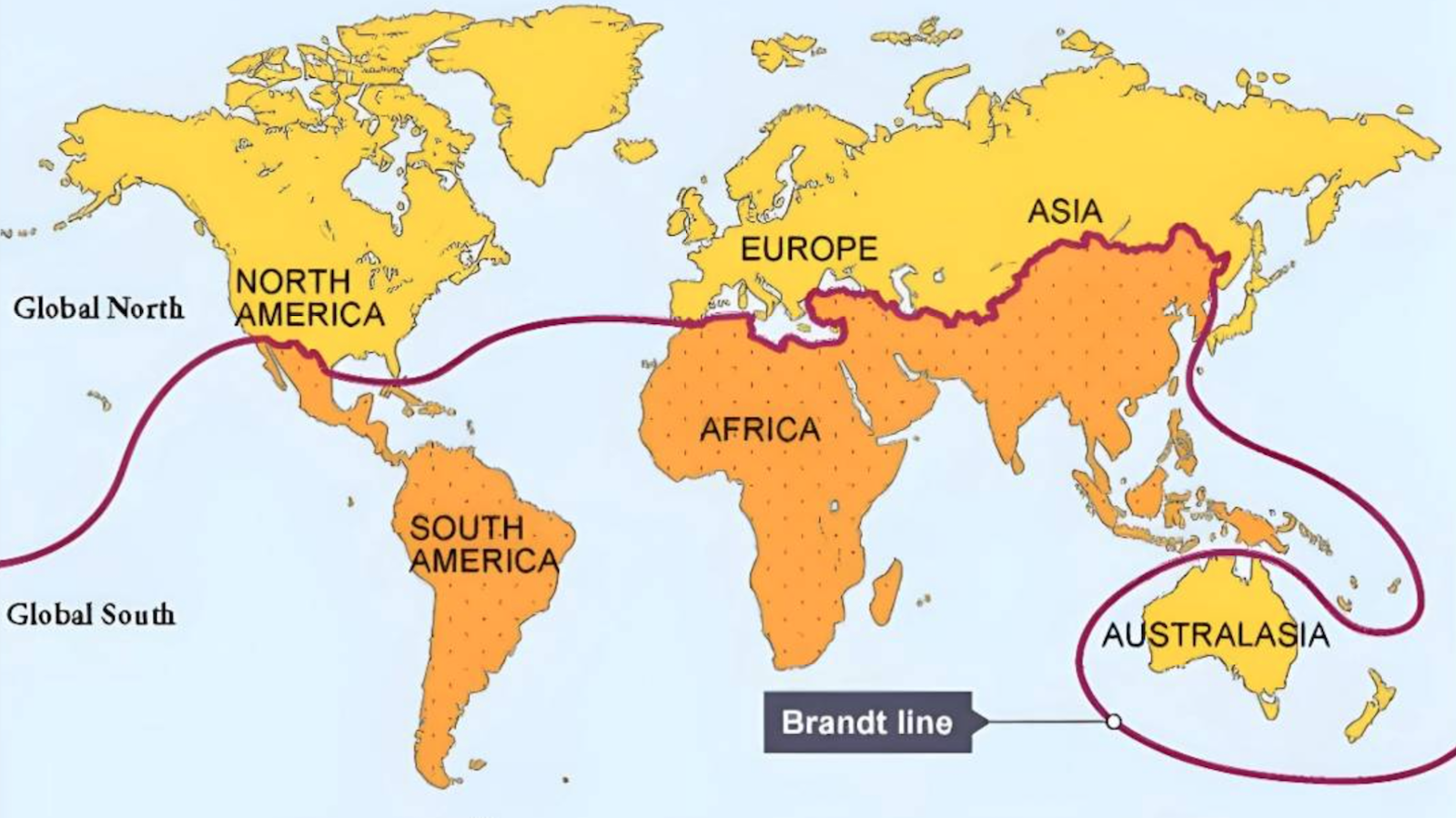
In 1980, Willy Brandt drew a line across the map that still influences how we think about the world.
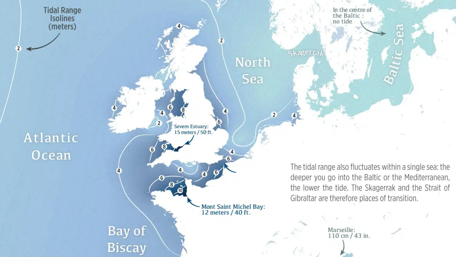
Great tidal ranges are relatively rare on a global scale — and can be very deadly to the unsuspecting foreshore walker.
The Sovereign State of the Bektashi Order would be just one quarter the size of Vatican City.
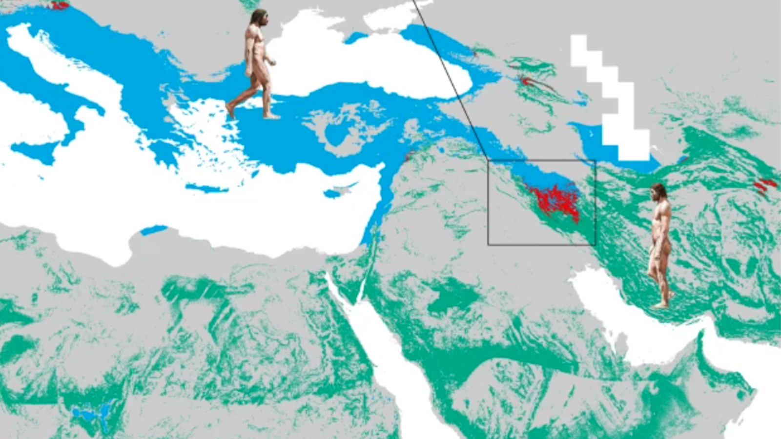
Early modern humans interbred with Neanderthals — and scientists recently pinpointed a key site of contact.
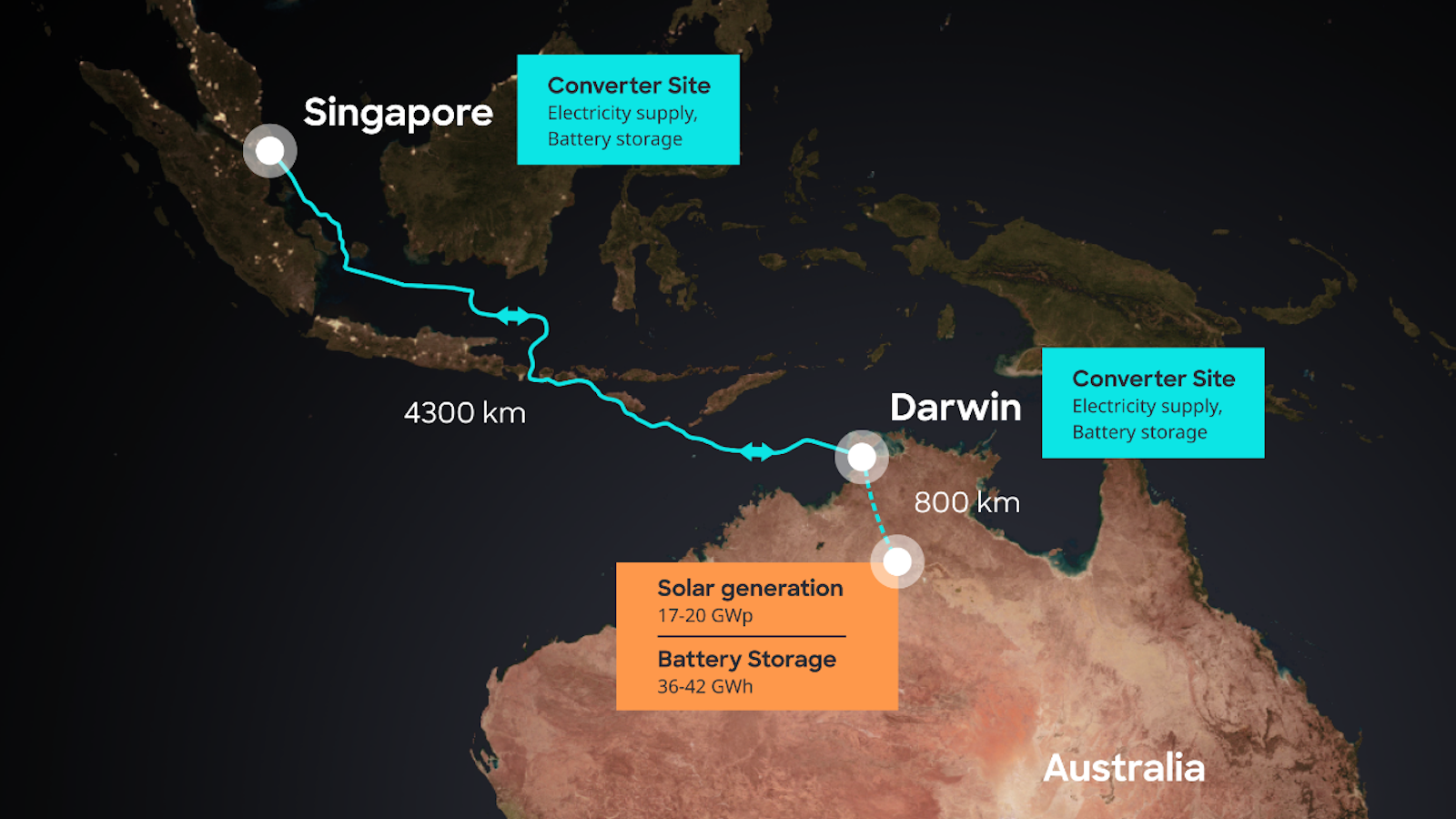
Australia’s AAPowerLink boasts three global superlatives: largest solar farm, largest battery, and longest power cable.
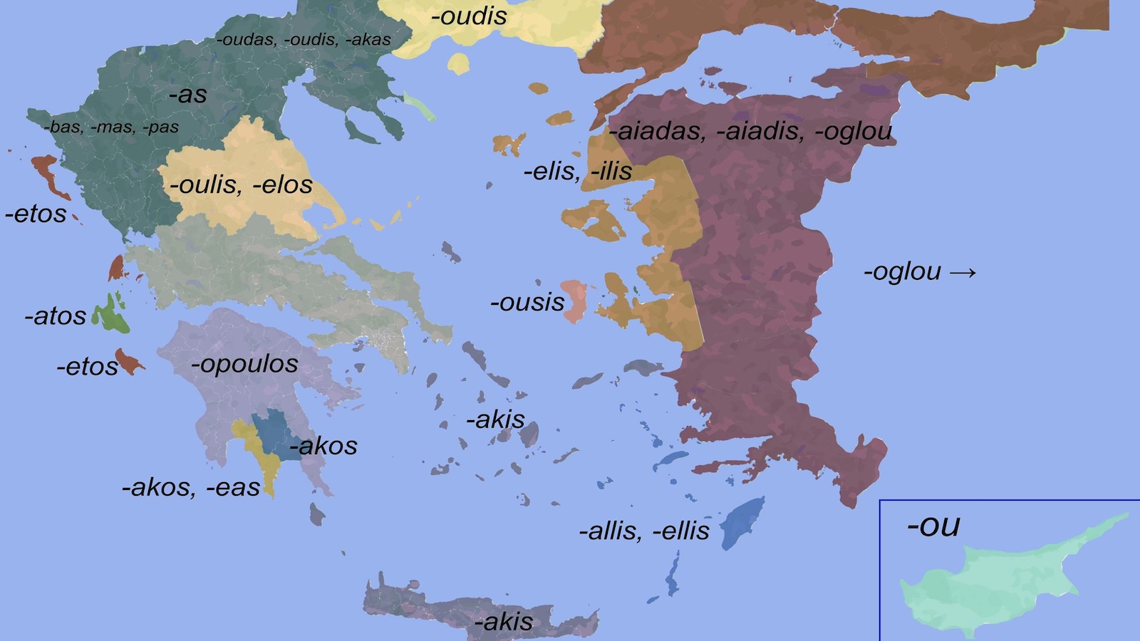
The hidden story behind Greek surnames and how they trace family origins across the country — starting with the name of a would-be U.S. president.
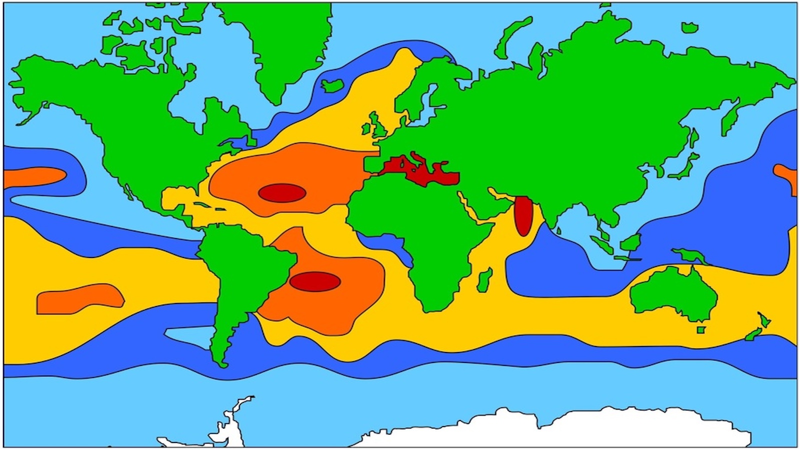
The salinity of the oceans is not just a matter of taste. Saltier water behaves differently, too.
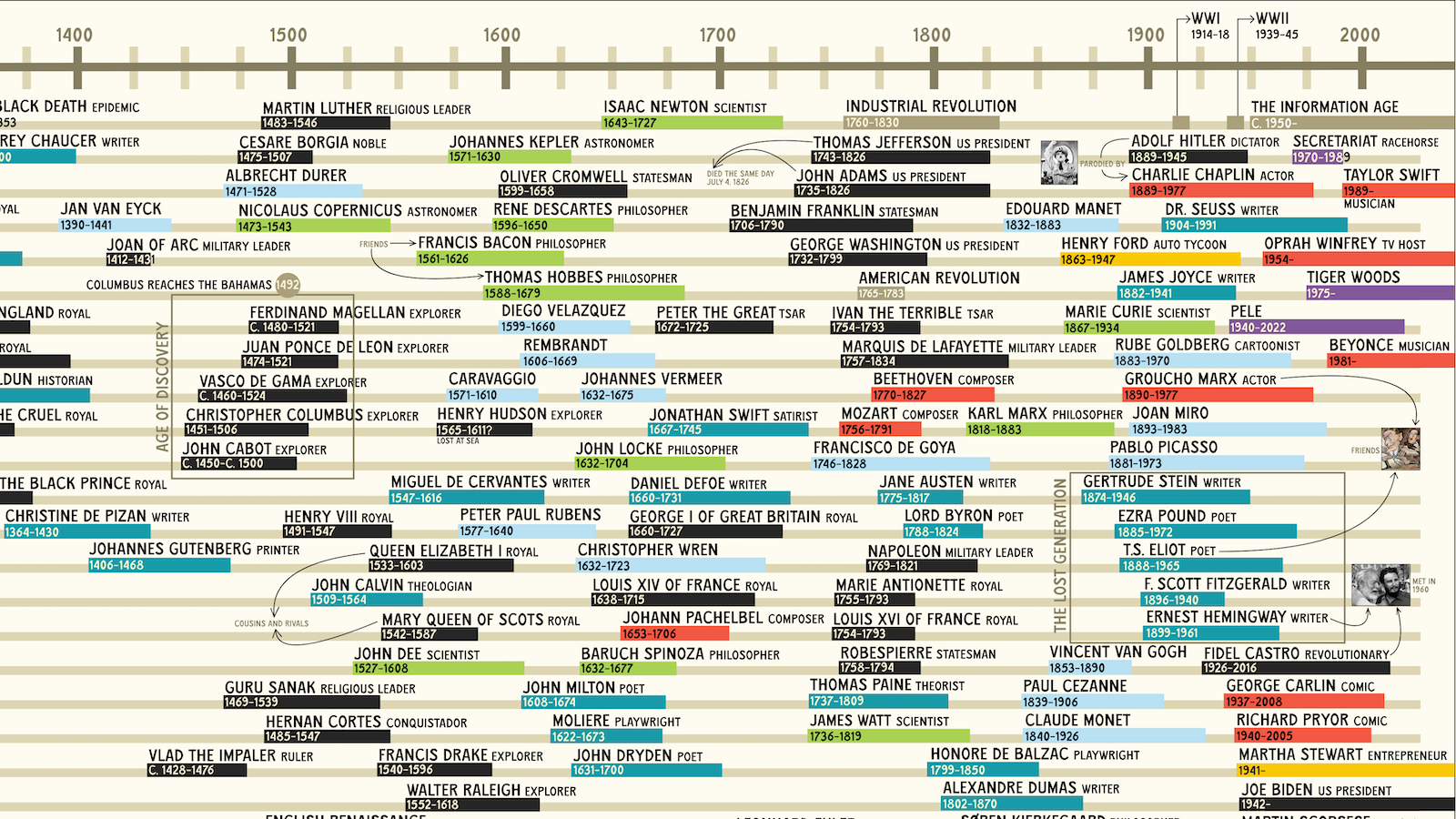
“The Big Map of Who Lived When” plots the lifespans of historical figures — from Eminem all the way back to Genghis Khan.
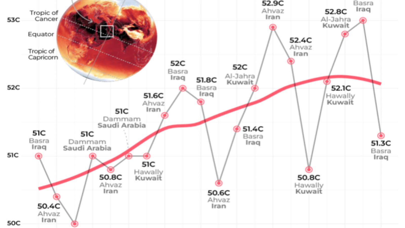
You could call this rectangle covering parts of Iran, Iraq, and the Arabian Peninsula the “Oven Window.”
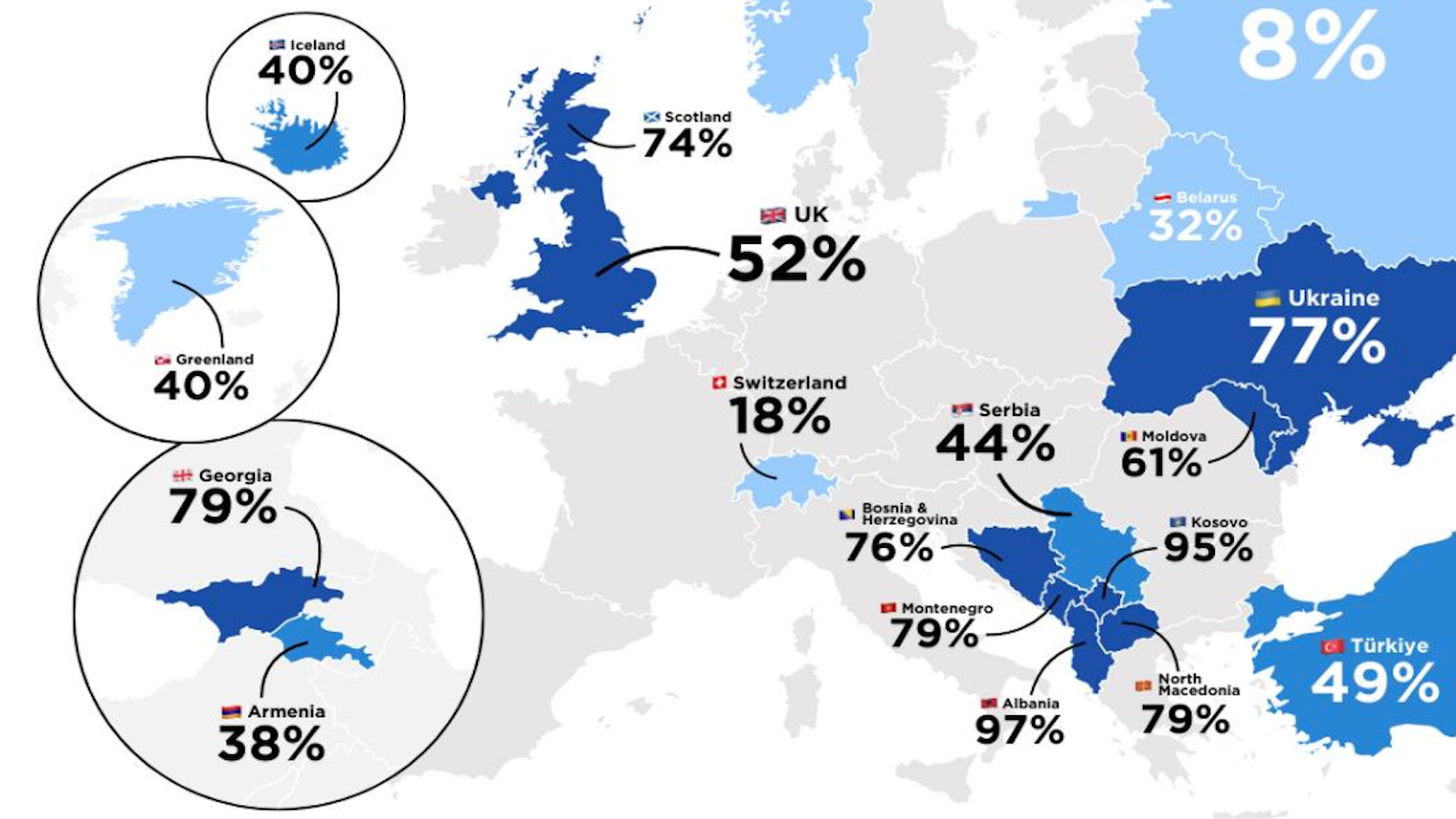
Absence makes the heart (and public opinion) grow fonder.
How has tennis changed in recent decades? The wear and tear on Wimbledon’s Centre Court may tell the tale.
19 rooms. 1,636 square feet. 1,800 years of history.
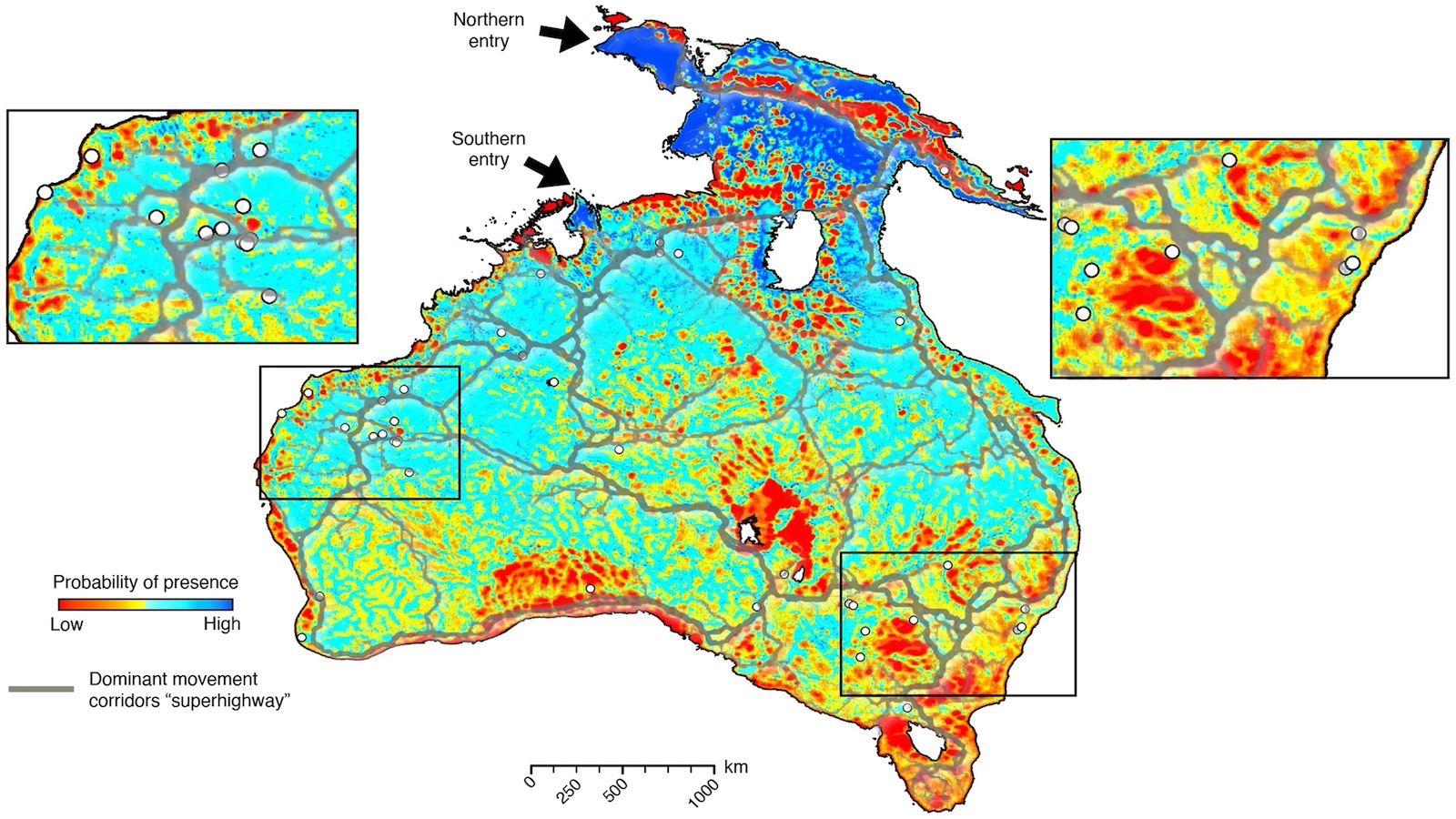
A new method of mapping migration factors in erratic movements and changing climate.
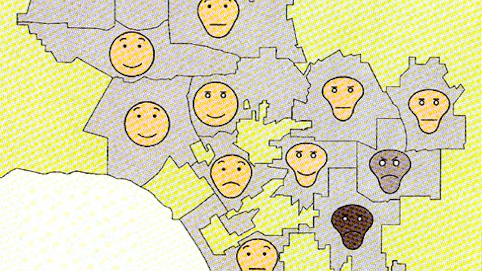
50 years ago, Herman Chernoff proposed using human faces to represent multidimensional datasets. It was a good idea in theory — but a disaster in practice.
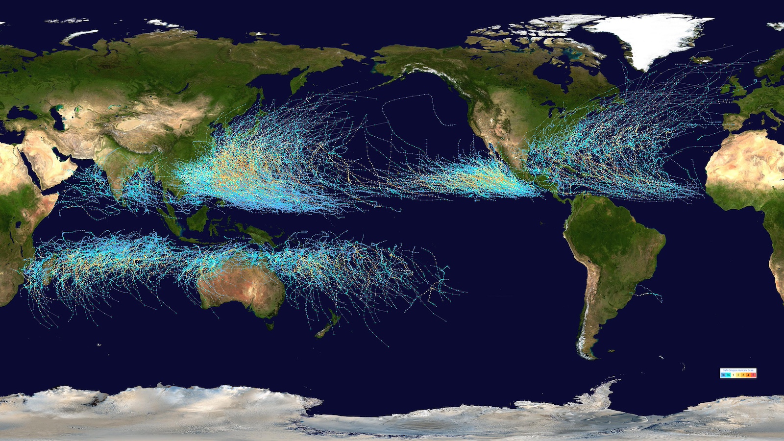
Thanks to the Coriolis force, hurricanes never cross the equator.
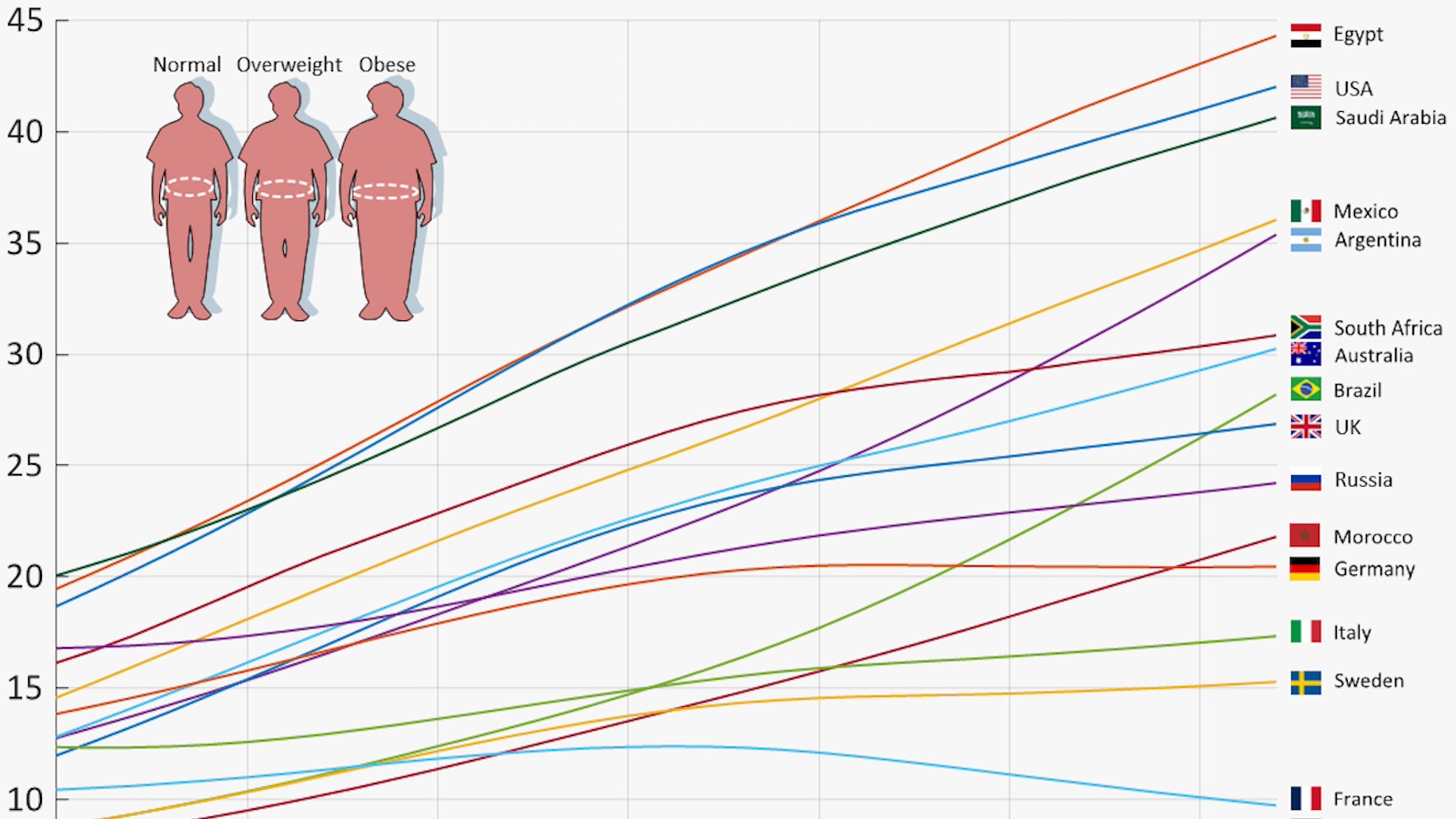
Waistlines are expanding in most countries, except for a skinny list of nations bucking the trend.
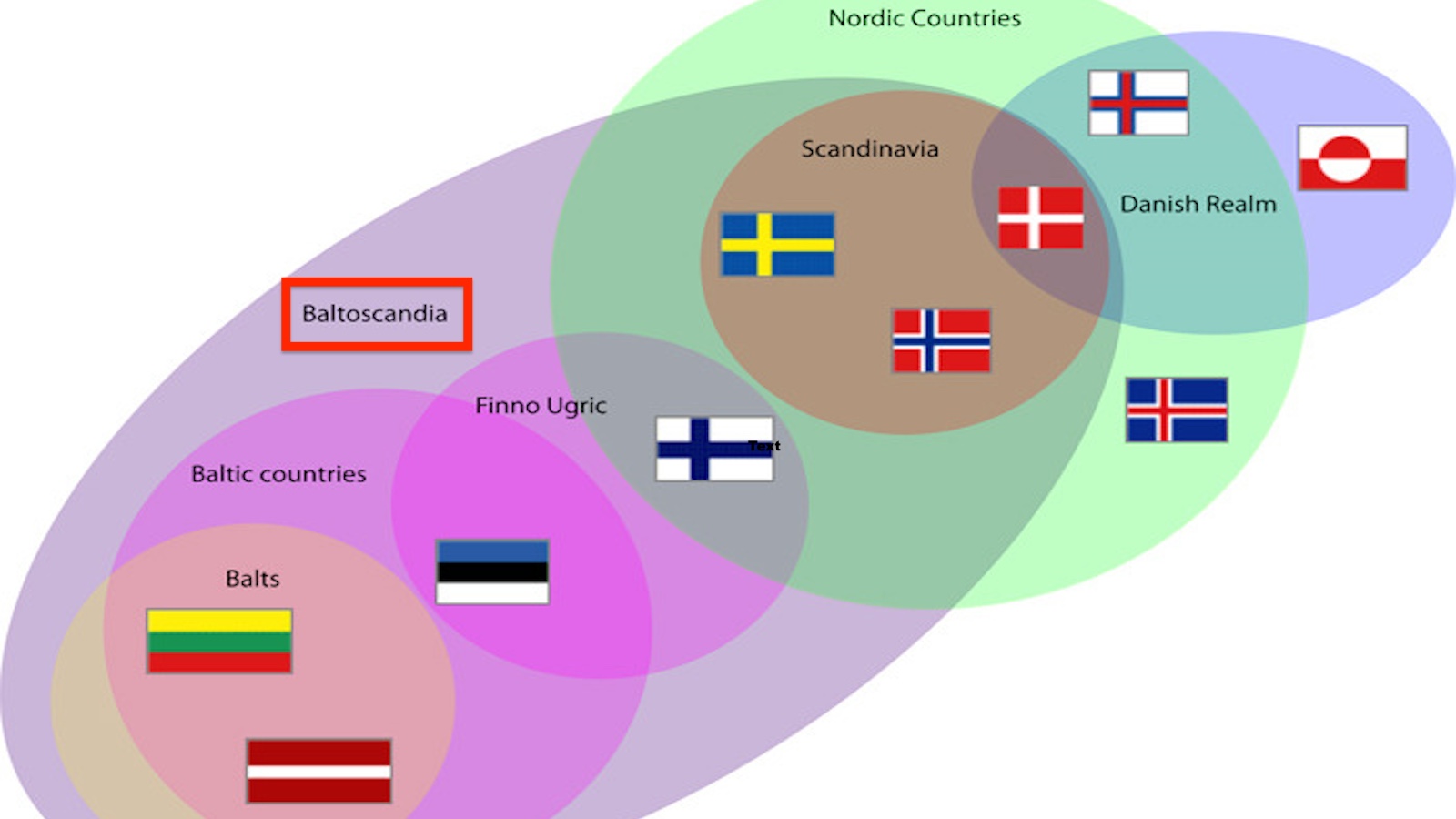
Because of their large and unfriendly neighbor to the east, the Baltics would rather be Scandinavian.
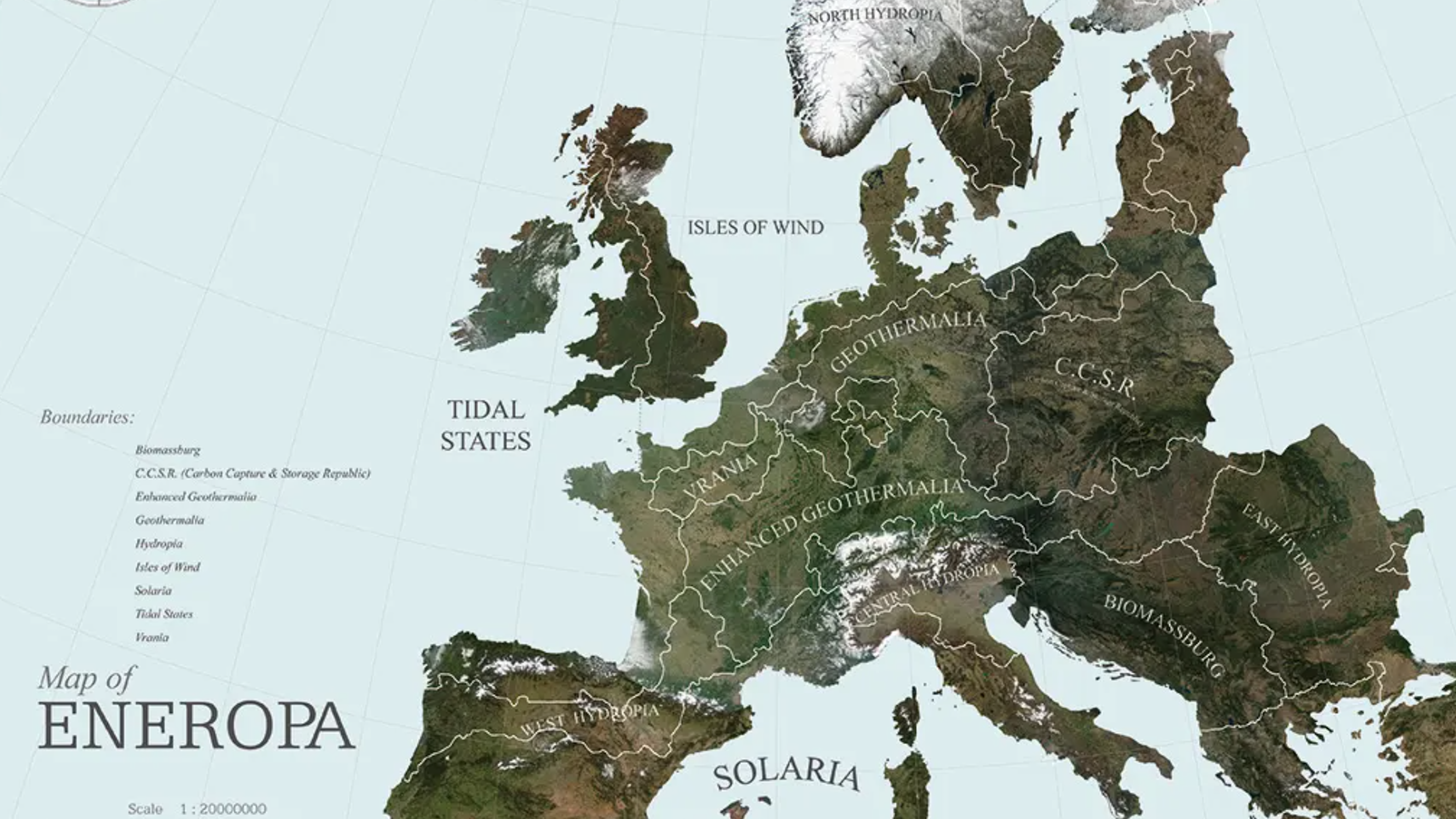
A radical proposal reimagines Europe as a carbon-neutral continent where national boundaries are replaced by regions defined by renewable energy capabilities.
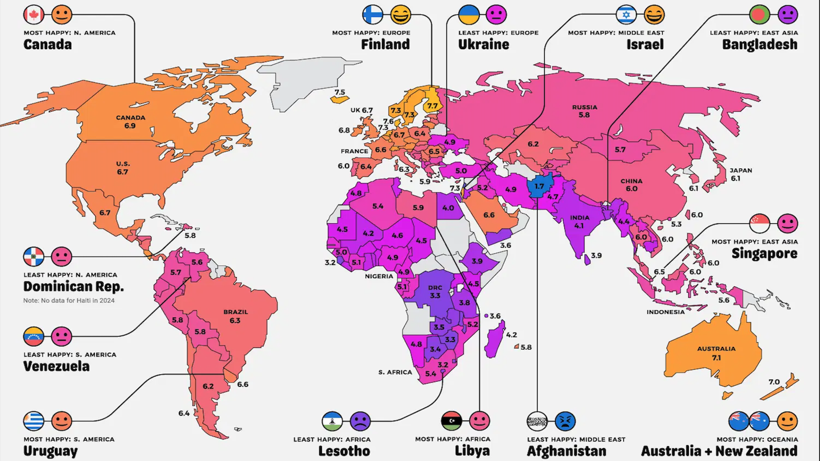
The Gallup World Poll reveals regional peaks and valleys of happiness across all of the continents.
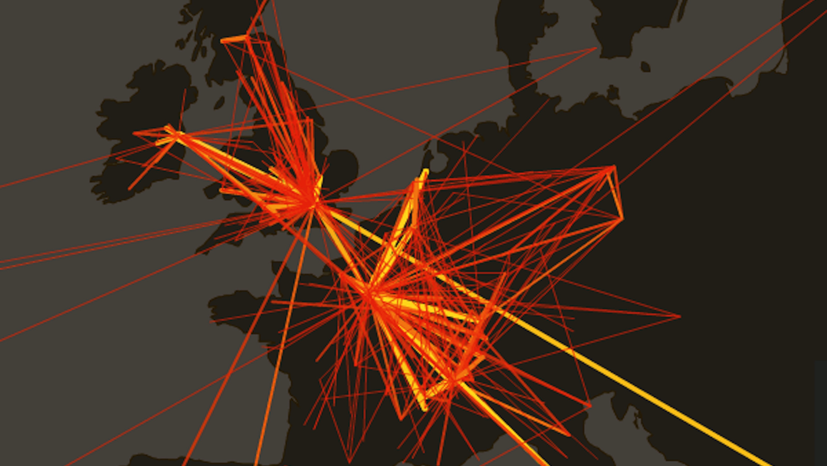
Digital analyses of Enlightenment-era letters are teaching us a thing or two about Locke, Voltaire, and others.
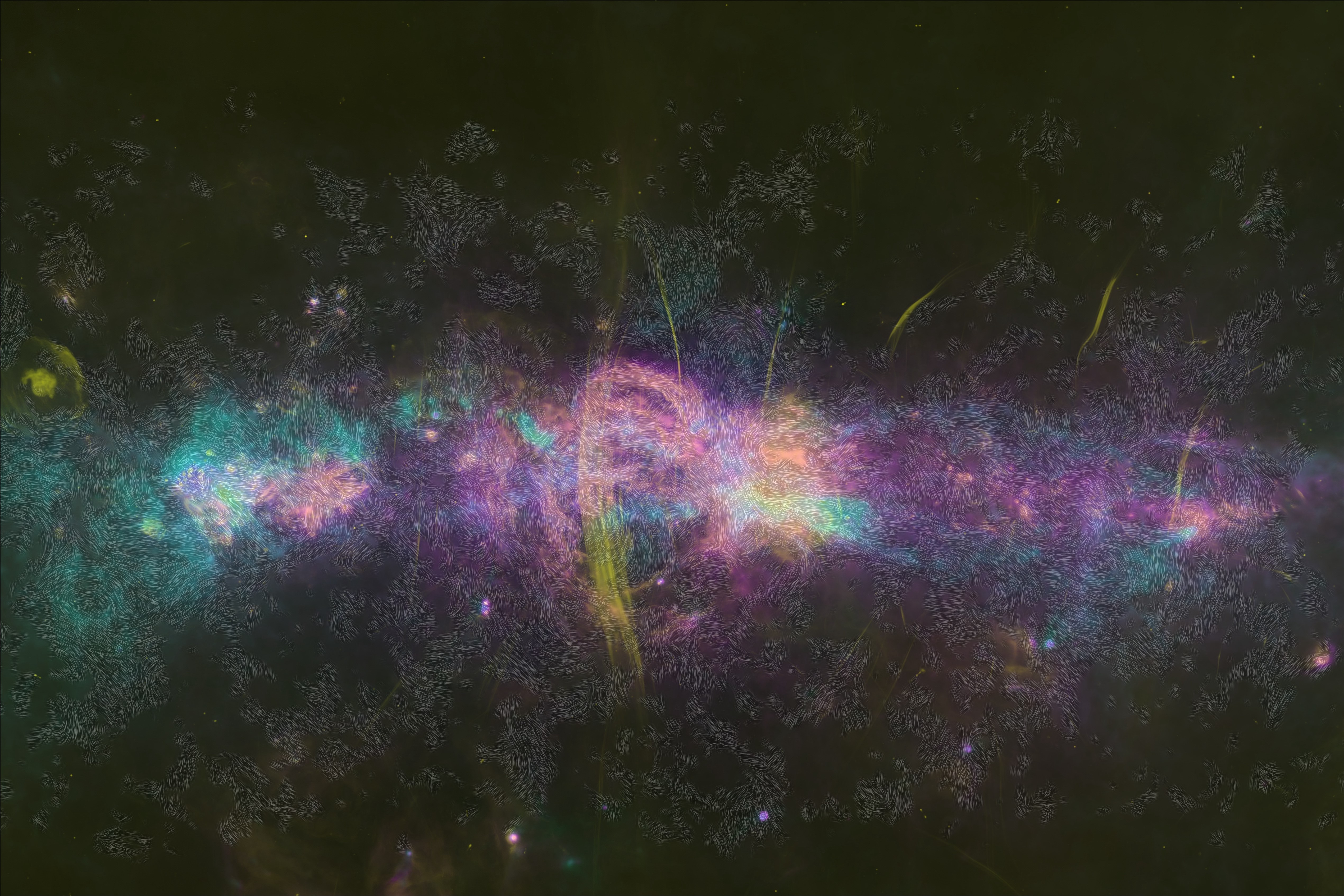
This first-of-its-kind image offers a detailed look at the magnetic fields within the Central Molecular Zone.
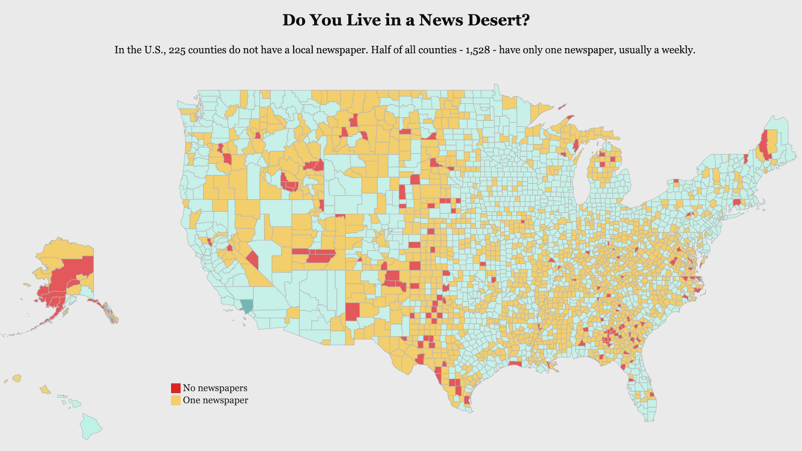
Most counties in the U.S. have only one local newspaper, often one that publishes weekly instead of daily.
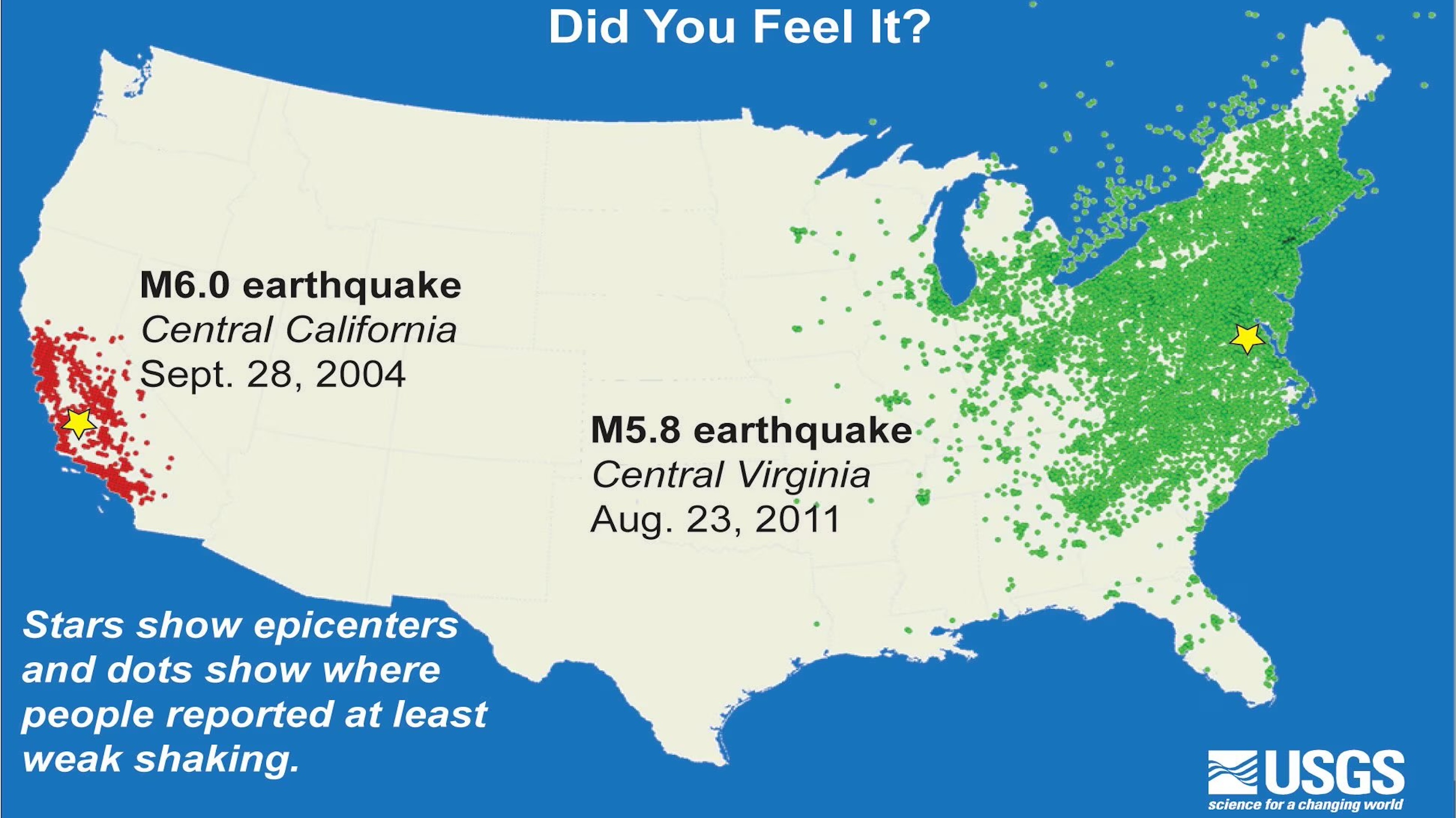
Across the subterranean United States, not all rocks were created equally.
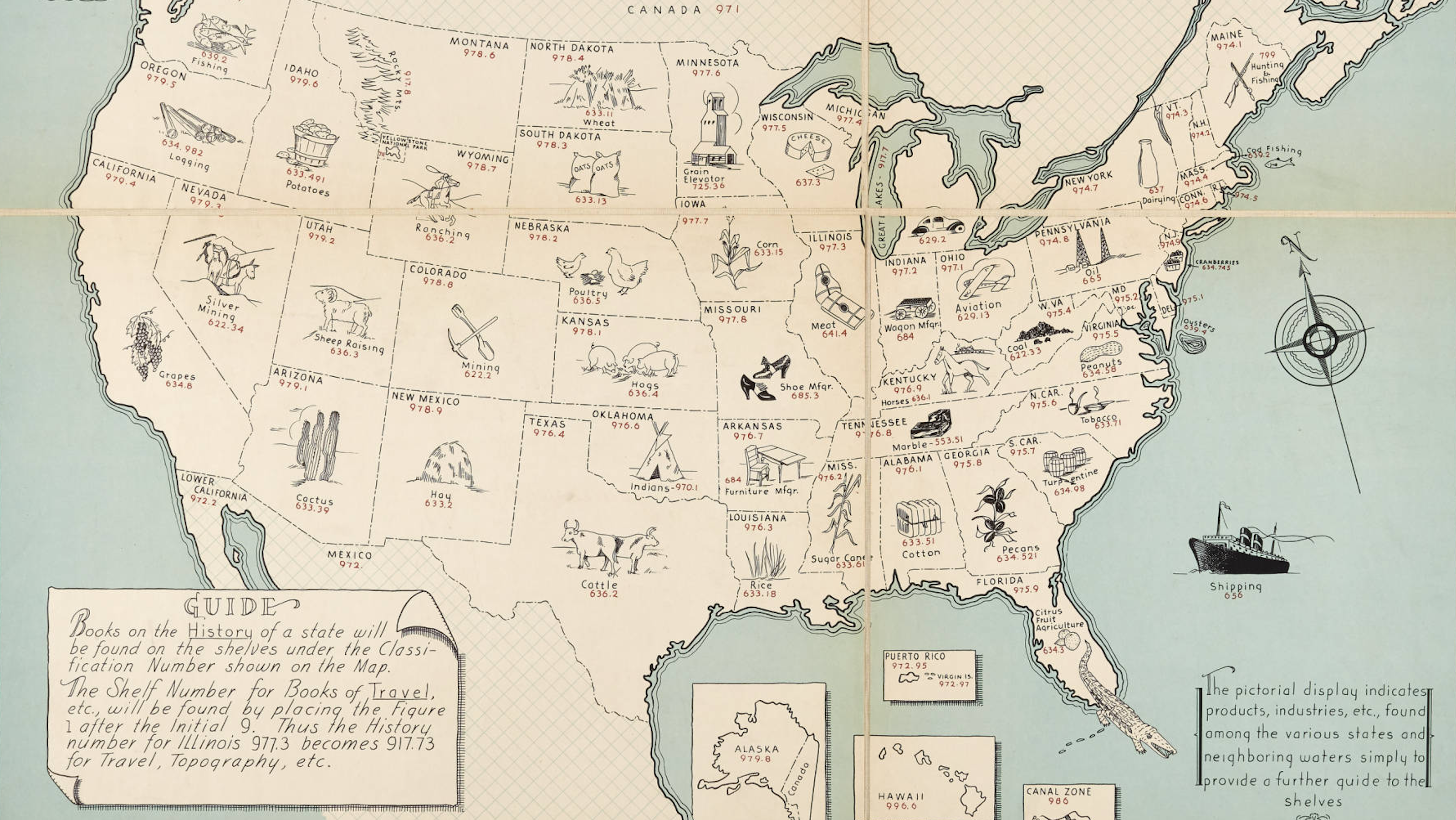
This map samples some of the digits that make up the DDC system, invented by the brilliant but flawed Melvil Dewey.
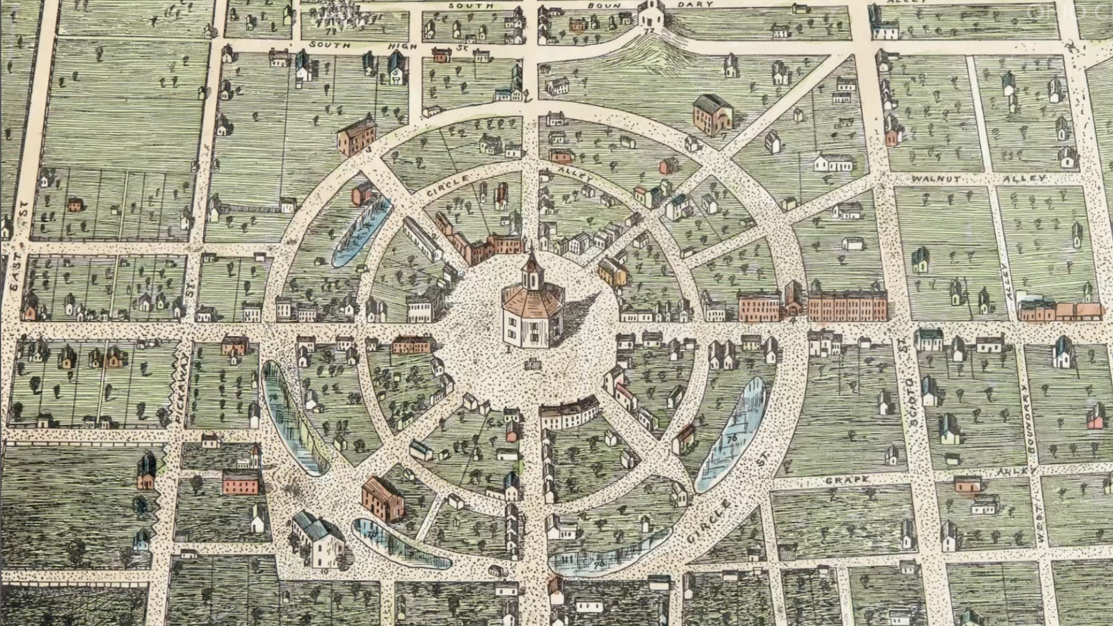
A small Ohio town tried to escape America’s addiction to rectangular grids. It didn’t last long.
