New animation shows a billion years of continental drift
Credit: Wikimedia Commons
- A new way of looking at plate tectonics offers evidence for how the world looked up to a billion years ago.
- By focusing on plate boundaries rather than the continents and land itself, it avoids the pitfalls of other methods.
- The model doesn’t account for everything but is still a great step forward in our understanding of continental drift.
Anyone who’s ever considered why South America and Africa look like they could fit together knows about plate tectonics, the theory which explains the movement of the continents over long periods of time. Fewer people may fully grasp the importance of the theory to a variety of fields. Plate tectonics also helps explain why similar plants and animals can be found on different continents, and helps us determine why certain elements are more or less abundant in different geological eras.
While the theory has accomplished much, there is room for improvement. In particular, the focus on how continents move runs into limiting difficulties. For example, the seafloor recycles itself every two hundred million years, making it challenging to learn about events before that date if you’re just looking at how certain parts of the crust move.
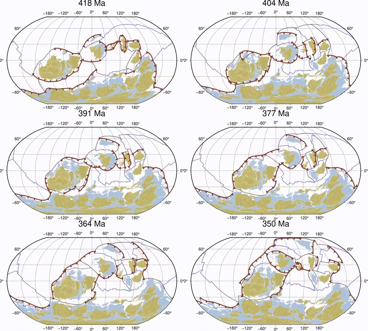
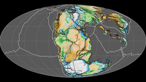
However, a new approach devised by an international team of researchers provides a new way of looking at plate tectonics, which may allow us to look as far back as a billion years. Their work also includes an animation showing that billion years of continental drift in 40 seconds.
Instead of looking at continents themselves, this approach focuses on how the boundaries between plates move over time. This avoids the limitations of other methods, as the records of where plate boundaries were located are quite enduring.
Louis Moresi, a geologist at the Australian National University who was not involved with this study, explained the concept, which he called “astonishing” to Cosmos Magazine:
“The plates are continually shoving the continents around and crashing them into each other. That means the geological record is full of evidence of old plate boundaries and the past actions of plates. We have billions of years of the continental record – for example, old mountain belts leave traces in the rock and sedimentary record even after being eroded – so we have evidence for plates from a billion years ago even though they are long gone into the mantle.”
Understanding where the plates were at what times can shed light on the long distant past and explain why the world is the way it is today.
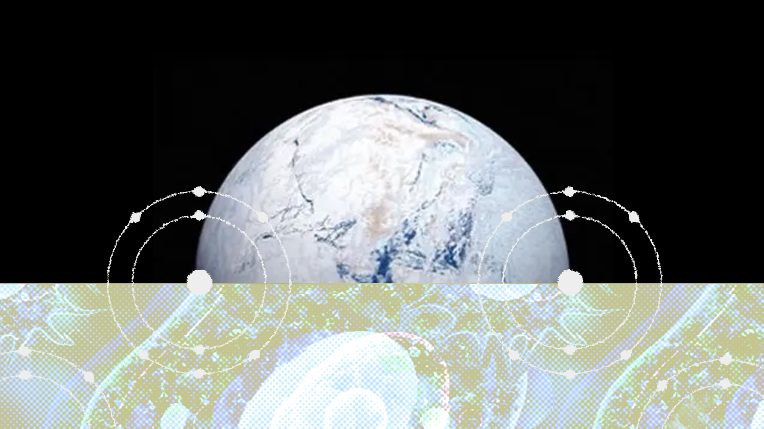
For example, the Snowball Earth hypothesis, the proposal that most of the Earth’s surface was frozen over at one or a few points, is relatively dependent on where the continents were at various times. If the continents were not in the correct locations, the possibility of the Snowball occurrence lowers considerably. This new technique allows scientists to estimate where continents were at those times with more confidence than before.
This model may also be of use in figuring out how and when oxygen became such an important part of the atmosphere, which in turn made life like us possible.
This isn’t the end-all solution to everything though, as the authors admit in their study, it doesn’t consider things like “true polar wander,” in which the Earth’s rotation and how its magnetic field is situated shifts. Given how vital evidence of Earth’s magnetic field and its changes are in geology, there is an entire field of study called Paleomagnetism; the next improvement on existing theory will have to account for it. Despite this issue, the focus on plate boundaries is a huge step forward.
Here’s the animation showing how the plates have moved over the last billion years:
