Earth’s Hidden Continent Zealandia Finally Recognized

Credit: GSA Today
After decades of research and analysis of geoscience data, a paper published in February this year (2017) made “official” in the scientific community the classification of the seventh largest geological continent – Zealandia.
Zealandia is the youngest, thinnest and most submerged of all continents, with 94% of its surface currently under water. The name Zealandia was first used in 1995 by geophysicist Bruce Luyendyk to describe a large region of continental crust encompassing New Zealand, the Chatham Rise, Campbell Plateau, and Lord Howe Rise.
The newly published paper, Zealandia: Earth’s Hidden Continent, provides for the first time systemized evidence to show that this continental crust is large and separate enough to be considered a continent in the southwest Pacific Ocean.

Spatial limits of Zealandia / Credit: GSA Today
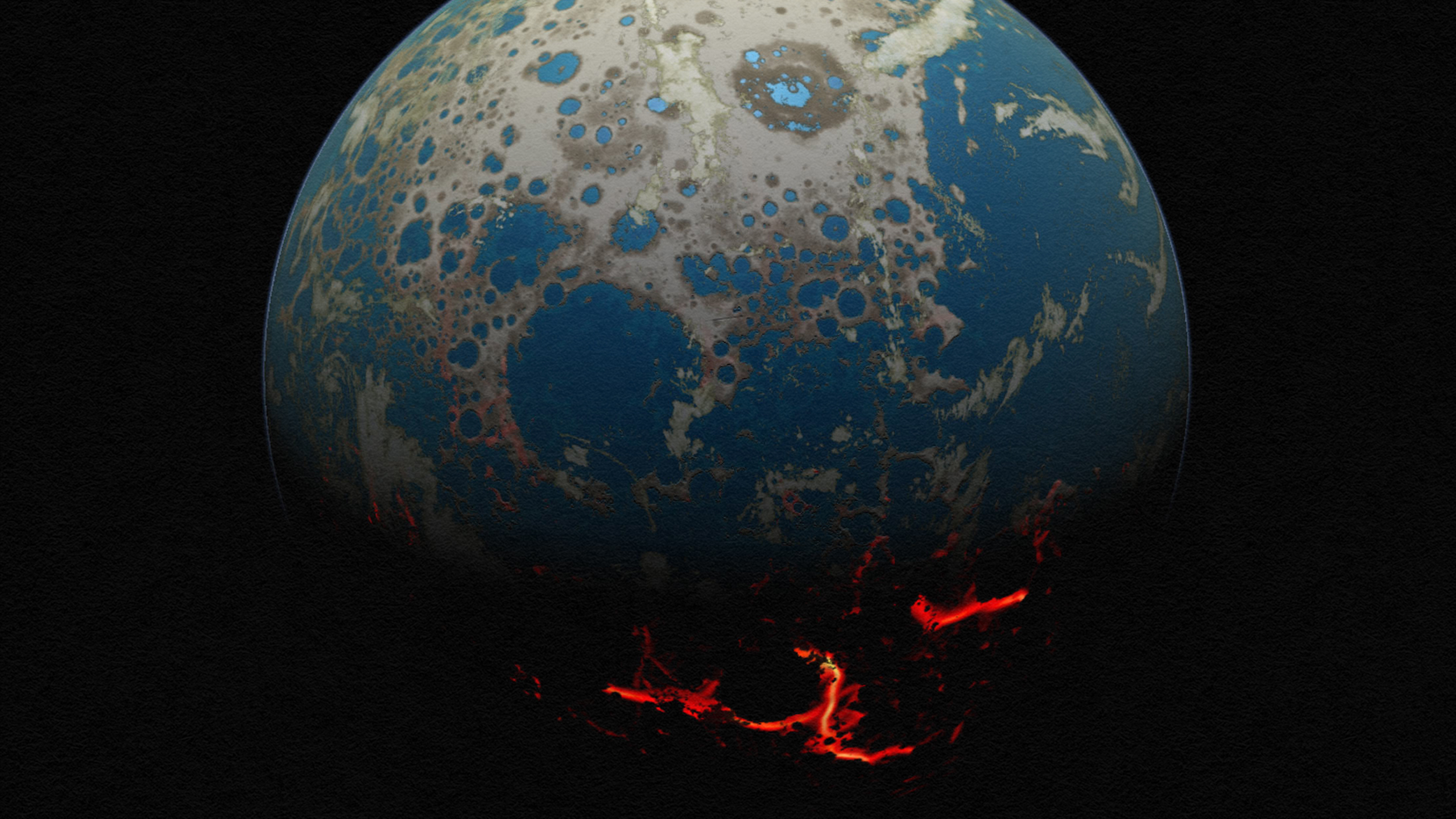
Zealandia, which is approximately the area of greater India, once made up about 5% of the area of the Gondwana supercontinent which began to fragment in the Mesozoic period (about 252 to 66 million years ago). Gondwana break-up resulted in continents with wide, thinned shelves, such as Zealandia and West Antarctica.
When it comes to the significance of the classification of Zealandia as a new continent, the scientists who worked on the paper say:
Names and labels are very powerful things in science and society.
The aim of publishing the science paper was to formally describe and define Zealandia. That alone is worth doing: a world map showing Zealandia is better than one that doesn’t.
For people who study how and why continents break apart, deform and collide, Zealandia is potentially as useful as the Himalayas. It is the thinnest, most submerged and smallest continent, but is not completely shredded or broken into small pieces.
Inevitably, Zealandia will be of use to other natural sciences. For the biological world, Zealandia provides a new and useful context of flora and fauna evolving on a continent whose landmass shrank, and sank beneath the waves. Geologists, geophysicists, zoologists, botanists, paleoclimate modellers and conservationists should all care about Zealandia.
So, why is Zealandia a continent? Firstly, here is a quick refresher of basic geology.
The rigid, uttermost layer of the planet is broken into tectonic plates. Tectonic plates comprise of an oceanic portion covered with oceanic crust and continental portion covered with thicker continental crust. The continental crust comprises of continents and continental shelves – the submerged landmass which extends from the continent and shapes the areas of shallow seabed close to their shores.
There are four key attributes that define a continent, and the scientists make the case that Zealandia has all of them.

Credit: GNC Science
1. Elevation
Continents and their continental shelves are always elevated above the oceanic crust and so is Zealandia. Unlike other continents, however, it has much wider and deeper continental shelves and is 94% submerged below current sea level. The highest point of Zealandia is Aoraki–Mount Cook at 3724 m.
2. Geology
Continents are comprised of many diverse types of rocks, such as granite, limestone, quartzite, and schist. Geological data collected in the past 20 years provides enough evidence that Zealandia has the necessary structure to qualify as a continent.
3. Crustal Structure
Continental crust varies in thickness with an average of 30-46 km, in contrast to oceanic crust, which is typically 7 km thick. Zealandia is the continent with the thinnest crust ranging from 10 to 30 km but analysis shows that it is everywhere thicker than 7 km.
4. Limits and area
The six commonly recognized geological continents (Africa, Eurasia, North America, South America, Antarctica, and Australia) are spatially isolated by geologic features. Zealandia’s continental crust is spatially separated from Australia by the Cato Trough – 3600 m deep and floored by oceanic crust.
——–
The authors of the paper hope that the evidence presented in it legitimizes the existence of this 4.9 Mkm2 continent and, after 20 years of research and data collection, finally gives scientists around the world a proper name and label to use in their studies.
As they conclude: “Zealandia illustrates that the large and the obvious in natural science can be overlooked.”