How the Great Lakes formed—and the mystery of who watched it happen
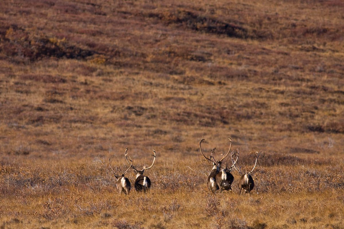
Stand on the rocky shoreline near the foot of the Pointe Aux Barques lighthouse, at the tip of the thumb of Lower Michigan, and look north across the blue expanse of Lake Huron. You will not see any caribou. But they were there, as were the humans that scientists believe hunted them nearly 10,000 years ago.
Now, thanks to innovative technology, determination, and luck, archaeologists are bringing this lost human history to the surface, and piecing together the mystery of a hunter-gatherer society unlike any other in the region.
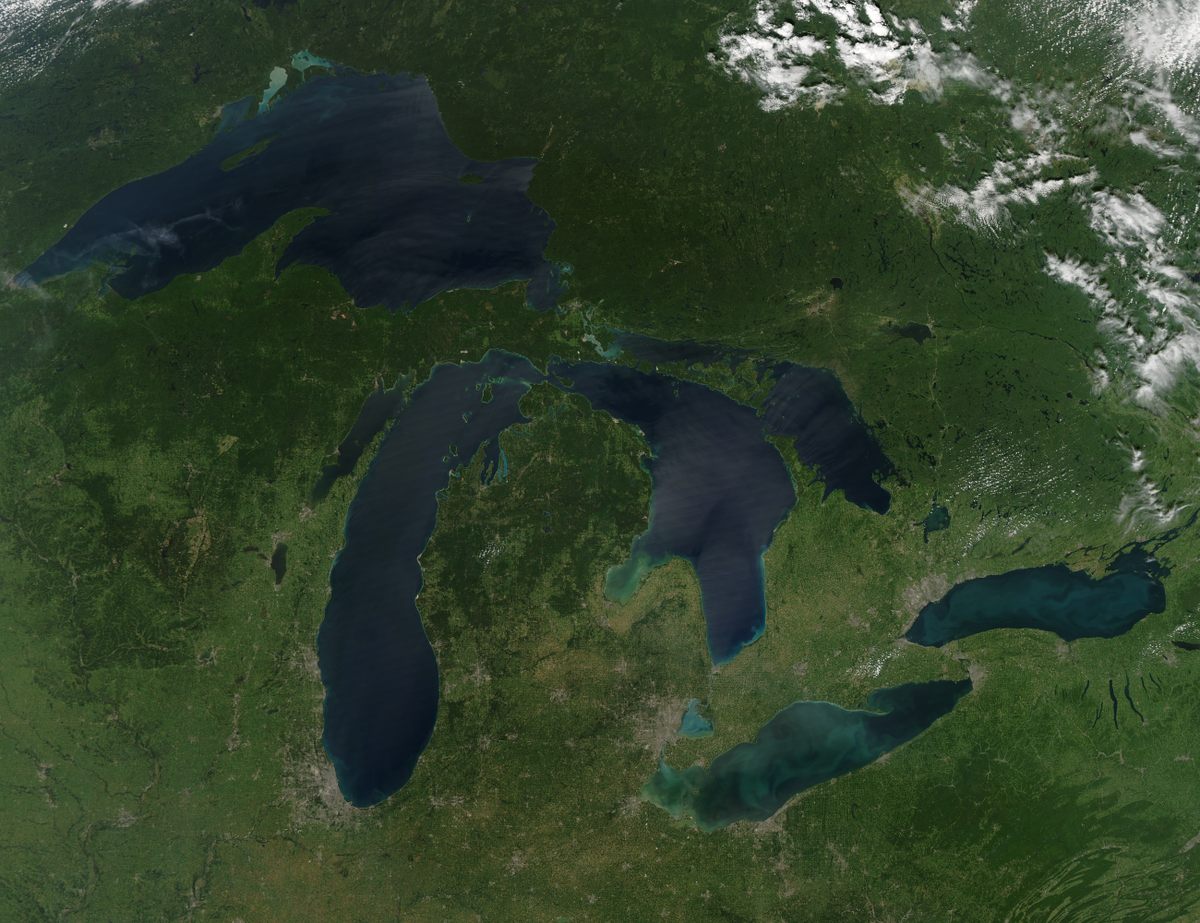
The North American Great Lakes, sometimes called inland seas, are the world’s largest freshwater system. They seem as immense and ancient as any ocean, but Superior, Michigan, Huron, Erie, and Ontario, as we know them today, are younger than Stonehenge. For generations, people watched them form and adapted as the landscape changed again and again.
Between the end of the last ice age more than 10,000 years ago and about 3,000 years ago, the entire Great Lakes region experienced dramatic shifts in environment, climate, and elevation. Glaciers that covered it retreated in fits and starts, and paleolakes formed and disappeared again, leaving behind boggy tundra. The bedrock itself rose and fell like a very large trampoline. Through it all, humans moved across the landscape, hunting, foraging, and even trading along networks spanning thousands of miles.
Understanding these radically evolving landscapes and the people who lived on them has long been a challenge for archaeologists—especially if you’re looking on land. Large portions of the land around today’s Great Lakes have acidic soil, which quickly breaks down everything from bones to wooden structures. Centuries of farming and other intensive land use have also destroyed or damaged many possible archaeological sites.
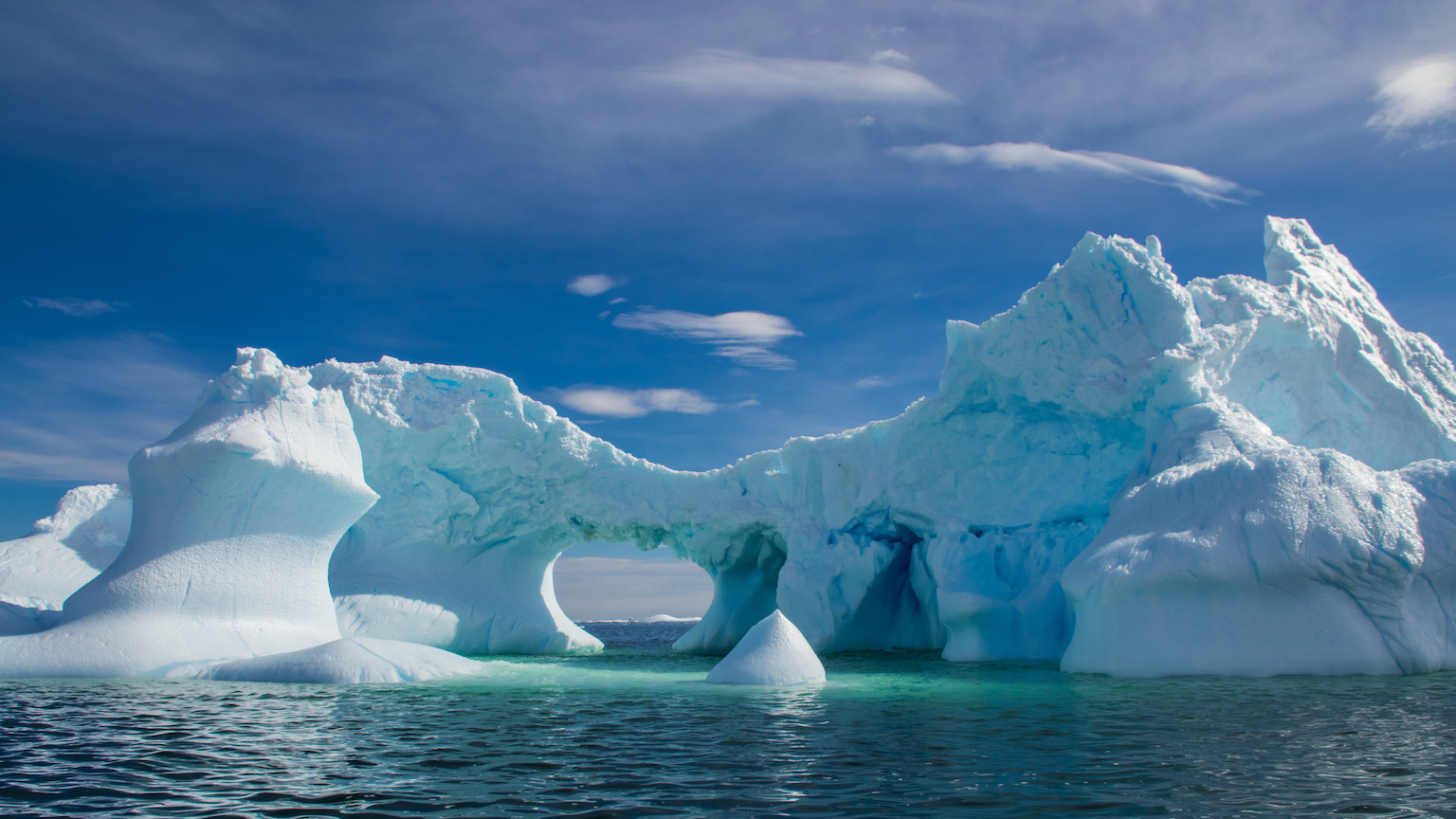
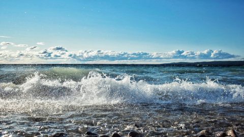
Beneath the waves, however, it’s a different story. There, archaeologists have found hunting structures and hearths, weapons and tools, all swallowed by rising waters and untouched for millennia.
“The stuff in the Great Lakes is like Pompeii, where the water is like the ash, sealing these deposits completely intact,” says Ashley Lemke, an archaeologist at the University of Wisconsin-Milwaukee who studies hunter-gatherers of the Great Lakes and other regions.
Lemke is part of the team that has spent years exploring an underwater site more than 60 miles north of Pointe Aux Barques, and currently about 120 feet below Lake Huron’s surface. The site, known as Drop 45 Drive Lane, hints at the ingenuity of some of the earliest humans in the Great Lakes region—but also presents a mystery about who these people were.
The roughly 20-acre submerged site is named both for how it was found (during an acoustic survey) and for what the team believes it is: a human-built structure that drove animals into a narrow space, or lane, where hunters waited.
Since its discovery more than a decade ago, Drop 45 has yielded artifacts big and small, from stone hunting blinds to flakes of chert, a type of rock often used for making tools, including arrowheads and spear tips. Flakes of obsidian were also found at the site. The specific chemical signature of these pieces of volcanic glass indicates they came from formations in Oregon, more than 2,500 miles away, hinting at a cross-continental trade network nearly 10,000 years ago. But the story of Drop 45 began long before then.
Rock of Ages
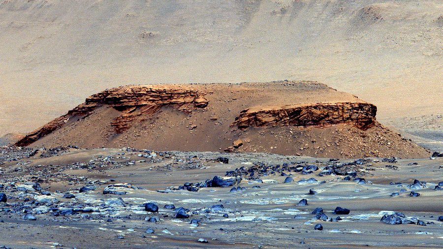
If you drained today’s Great Lakes—or just looked closely at a modern bathymetry chart—you might notice that Lower Michigan sits in the middle of several rough concentric ridges. These erosion-resistant walls of rock mark ancient shorelines of a sea that shrank over hundreds of millions of years. The most prominent ring of this geological bull’s-eye, the Niagara Escarpment, arcs westward from the famous falls of the same name to a humbler formation in southeastern Wisconsin known as Brady’s Rocks. A portion of another ring, parallel to the Niagara Escarpment, is called the Alpena-Amberley Ridge (AAR) and cuts across what’s now Lake Huron. These ridges are truly ancient, even geologically speaking: They formed on the paleocontinent of Laurentia nearly half a billion years ago, and saw the dinosaurs come and go. During the last ice age, the AAR was largely buried under the ice, but it would have been largely high and dry during portions of the transitional postglacial period.
John O’Shea, who heads the University of Michigan’s underwater archaeology program, was attracted to the AAR as a potential study area more than 20 years ago. The ancient ridge, only a few miles wide in places, would have been a relatively stable feature on the landscape and, he thought, might have offered attractive camping and hunting sites to humans in the area.
During the last ice age, which peaked about 20,000 years ago, ice sheets scraped back and forth across what’s now the Upper Midwest. Paleolakes such as Algonquin, Stanley, and Chippewa—think of them as early drafts of the Great Lakes—formed during periods when glaciers were melting, and were reshaped as the ice retreated or advanced. All of this makes recreating the shifting landscape in any detail extremely challenging. “The glacier part is tricky,” says Lemke. “Glaciers erase all the evidence of former glaciers.”
Another process had even greater influence on the landscape once the ice retreated for good: Areas of bedrock, freed from the tremendous weight of mile-thick glaciers, bounced back, a process called isostatic rebound or adjustment. It continues today in many previously glaciated areas, including the Great Lakes region, and adds another variable to a complex, constantly changing set of systems. “That rebound isn’t even, it sort of hinges, so you’ve got this weird thing happening south to north,” says O’Shea. “As that plane is tipping back and forth, you’ve got different openings and closings and different lake outlets. This is why you have periods when you have a lot of water trapped there.”
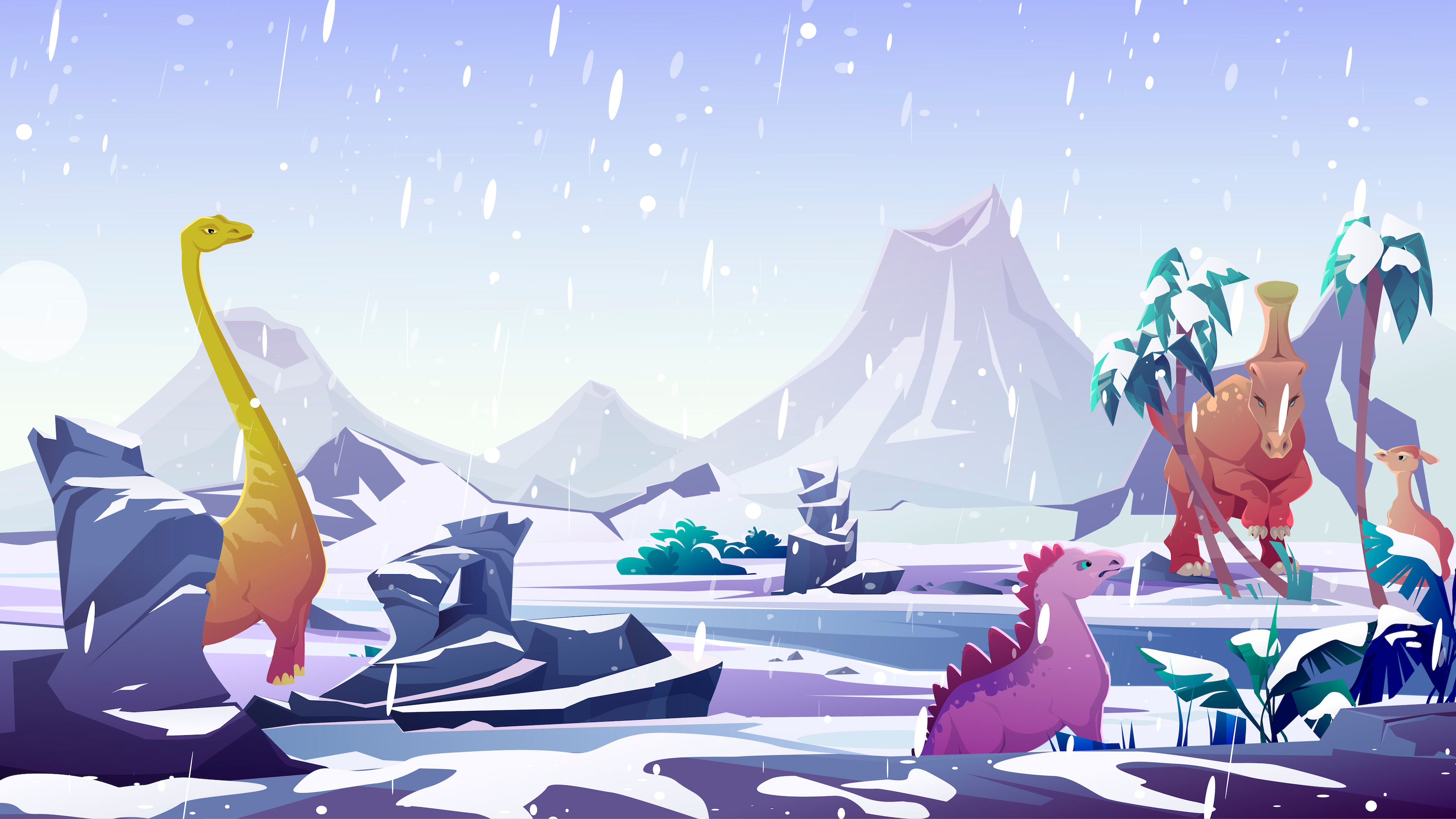
As ice sheets steamrolled back and forth, lakes grew and shrank and filled again, rivers appeared and vanished, flora and fauna also changed—shifts can be documented by evidence such as ancient pollen. O’Shea calls it a landscape of “migrating ecotones,” or transitions between different kinds of environments. “There’s an ecological zone close to the ice front. It’s wet and tundra-like,” he says, adding that it would have been an attractive environment for cold-adapted animals, such as caribou, musk ox, and Arctic fox.
“As the ice moves north, the ecotone moves north … but this doesn’t happen overnight,” O’Shea says. “You get a succession of vegetation, from scrubs to spruce to pine. There’s a readvance of the ice so the pine goes away and the spruce comes back. Then you get mixed hardwoods.”
These shifts were not sudden, but the people living on the landscape would have been aware of them, similar to the way Arctic communities are experiencing permafrost melt and other consequences of climate change today. “You would have seen it on a generational basis, like ‘Oh, Grandpa used to hunt over there but now it’s a marsh,’” says Lemke.
At points early in the postglacial period, the AAR was a ridge flanked by tundra and wetlands. A little later, during a period roughly 9,000 years ago, the ridge would have formed a narrow land bridge between the two halves of Lake Stanley, the predecessor to Lake Huron. Migrating animals—likely including caribou—would have used this narrow corridor of dry land. And that made it attractive to humans. “The movement of animals would have been very predictable,” O’Shea says. “This would have been a tremendous thing for hunters.”
Unique Tools of the Trade
O’Shea, Lemke, and colleagues used an array of underwater survey techniques along the now-submerged AAR to identify the most promising areas. The remote survey tools, including advanced sonar, are now refined enough that they can reveal stone tools scattered across the lakefloor beneath layers of sediment, and human-built structures under smothering blankets of invasive mussels, which have overrun much of the Great Lakes. Once the surveys identified potential signs of human presence, submersibles and divers investigated the areas further. During their work, the team found several sites with hunting blinds or other human-made features, including the evocatively named Dragon Drive Lane. But Drop 45 appears to be the most complex site discovered so far.
The more the team learned about Drop 45, the more it surprised them. The site features multiple hunting blinds and a cleared, stone-lined lane that hunters used to funnel game toward them. Along with the other AAR hunting sites the team has identified, these structures are unique in the Great Lakes region—though similar hunting sites exist in the Arctic.
“Nobody had any idea that people were using that hunting architecture in the Great Lakes,” says Lemke. “It’s only because it’s underwater that those hunting structures are preserved. If they were on land, they wouldn’t look like much and people would just move them around.”
The specific layout of the hunting blinds at Drop 45 suggests they were oriented to different directions caribou would have traveled during fall and spring migrations. The team recreated the landscape in a virtual reality setting and showed the site to traditional caribou hunters in Alaska. They confirmed how the drive lane and blinds would have been used, Lemke adds.
In addition to unique hunting structures, the stone artifacts retrieved from Drop 45 are unlike any others found in the Great Lakes region, raising questions about who the people hunting on the AAR were. We know they were not the first humans in the region: There are older archaeological sites around the Great Lakes, including the 12,000-year-old Gainey site, discovered near Detroit more than 40 years ago, and the Belson site in southwestern Michigan, described in 2021 and likely about as old.

The artifacts at both of those sites have been categorized as northern offshoots of the Clovis tradition, one of the earliest styles of toolmaking in the Americas. The distinctively fluted Clovis projectile points and other artifacts have been found across much of North America, but are fairly rare in the Great Lakes region. The artifacts found at Drop 45 and other sites along the AAR seem to have no connection to the Clovis tradition, however, and appear to belong to a previously unknown style, according to the team.
By about 8,000 years ago, as water levels rose, the AAR had become an archipelago, and eventually was fully inundated as Lake Huron filled. Caribou had moved out of the region, and evidence of the people adapted to hunting them vanishes from the archaeological record.
The team continues to explore the submerged landscape for more sites, including in areas adjacent to the AAR that would have been tundra before Lake Stanley formed. It will take multiple artifacts from multiple sites to understand who was in the area—and to convince some peers who believe the team’s findings are too speculative.
As O’Shea and his colleagues venture deeper into Lake Huron and the past, he’s hopeful but realistic about what they may find. “You can only approach this with humility. We’re talking thousands of years here,” says O’Shea. “We try to get together the pieces we can.”
This article originally appeared on Atlas Obscura, the definitive guide to the world’s hidden wonder. Sign up for Atlas Obscura’s newsletter.
![]()