NASA’s new project lets you take a simulated ride in a Mars rover
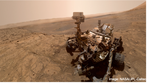
NASA/JPL-Caltech
- NASA just announced its AI4Mars project, which lets you can take a virtually simulated tour around Mars via the Curiosity rover.
- The simulation project is calling on users to help the rover better classify the planet’s sometimes dangerous terrain by labeling images taken by Curiosity.
- This project gives you a chance to participate in enhancing the new machine learning approaches for exploring Mars and unveiling its secrets.
If you’ve ever wanted a close-up experience of what it’s like to roam on Mars’ surface, now is your chance. NASA just announced its AI4Mars project, which lets you can take a virtually simulated tour around the Red Planet via the Curiosity rover.
PTV – MER Spirit Rover Stuck on Mars – August 27, 2009www.youtube.com
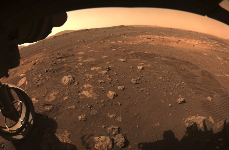
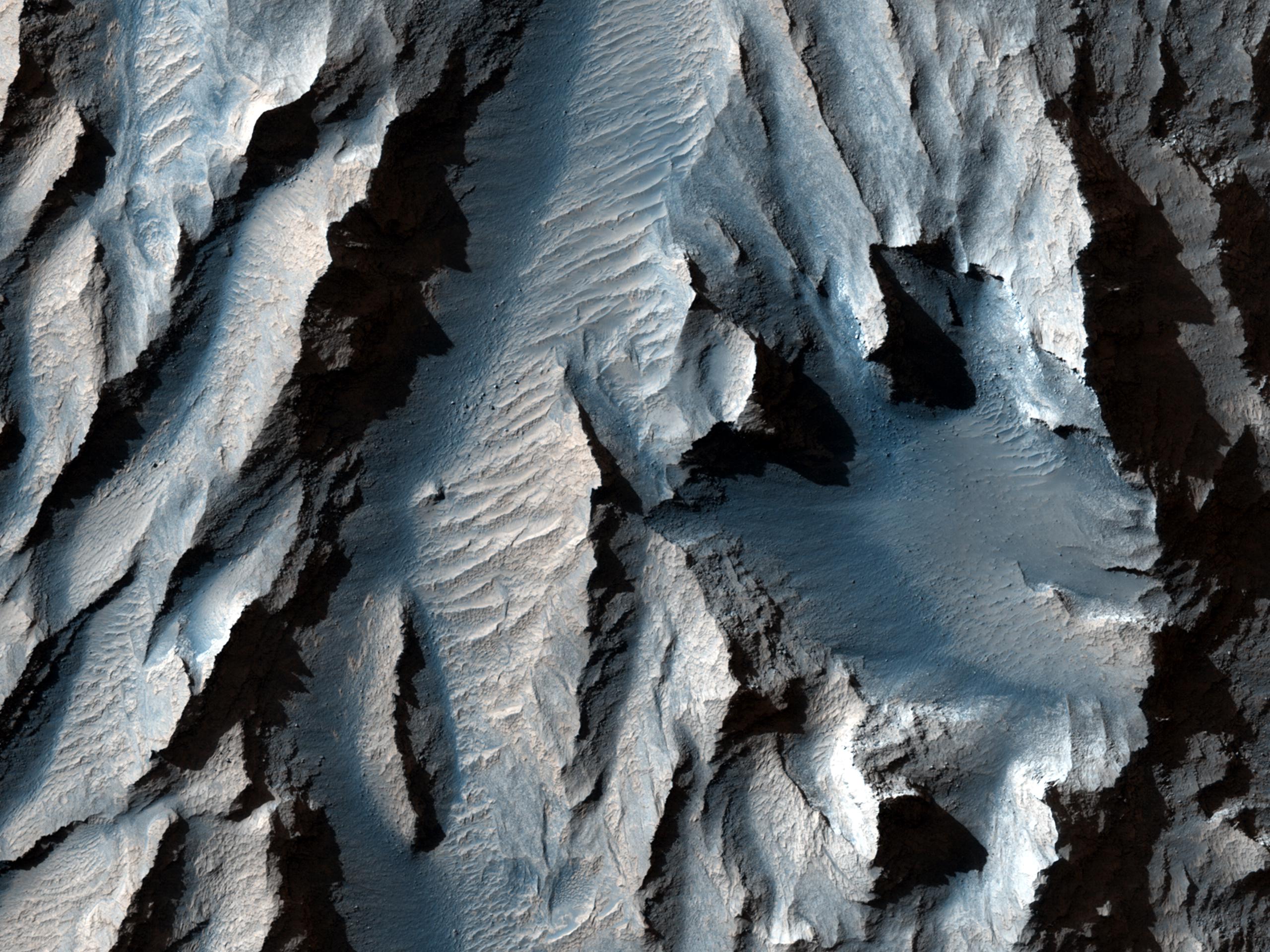
Designed by a team at NASA’s Jet Propulsion Laboratory, the simulation project is calling on users to help the rover better classify the planet’s sometimes dangerous terrain. Your task is to identify and label images taken by Curiosity from Mars’ surface for scientists to use. The crowdsourced data will help train a future rover to more safely navigate obstacles like bedrocks or sand.
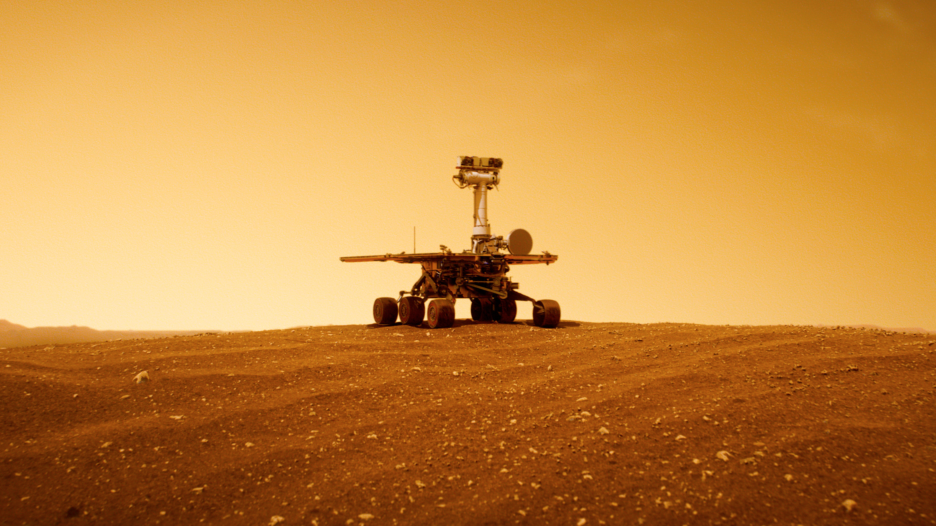
Mars rovers have an unfortunate habit of getting stuck in sand traps, and sometimes never getting out, as was the tragic fate of NASA’s Spirit Rover. The project hopes to make future rovers similar to self-driving vehicles that know “where it’s safe to drive, land, sleep and hibernate,” according to the website.
SPOC-Lite: Terrain Classifier for Mars Roverswww.youtube.com
When you open the classification tool on the website, you’re instructed to select different surface types — sand, soil, bedrock, and big rocks — using a polygon drawing tool designated for the type of terrain you are labeling. After you’ve identified everything in the image, you click “Done” to move on to the next photo and do it again. If you aren’t sure about an object, the website asks you to leave it unlabeled. It also asks you not to overlap the polygons. If you get confused, click “Tutorial” to open a popover and a discussion board where you can ask questions.
You won’t get to virtually control Curiosity around the surface of Mars like a video game. But this project does give you a chance to get an intimate look at the planet’s surface and enhance the new machine learning approaches for exploring mars and unveiling its secrets.
Similar projects calling on volunteers to help with scientific research can be found at Zooniverse’s project page. For example, you can help researchers find asteroids in images from the Hubble Space Telescope, or help Seismologists by listening for Earthquakes using technology that makes seismic waves audible.
