London mapped with language
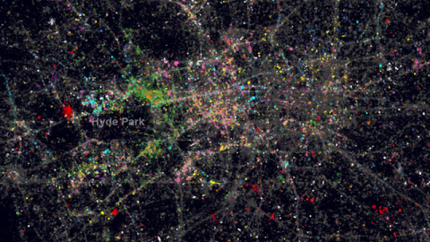
A professor specialising in spatial analysis at London’s UCL has produced a wonderful interactive map of London produced purely with a peppering of dots marking the locations individuals tweeted from over the past summer using different colours for different languages. It is both a beautiful demonstration of the ethnic diversity of a metropolitan city and a disquieting reminder of the trail of data that we leave behind us in the digital age.
To see the data overlaid over a map click here.