Indigenous Groups Using High-Tech To Fight Land Grabs
What’s the Latest Development?
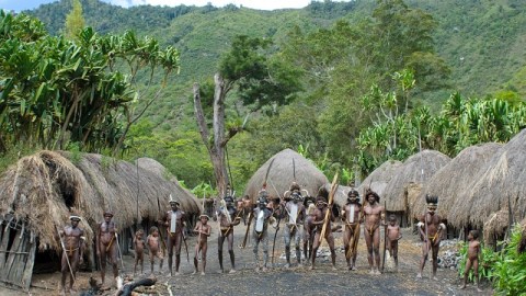
Earlier this week, leaders from indigenous communities in 17 countries including Brazil, Nepal and Malaysia met in Sumatra for the Global Conference on Community Participatory Mapping on Indigenous Peoples’ Territories. While there, participants shared how modern mapping technology has helped them catalog lands and natural resources that have been in their care for hundreds or even thousands of years. With the help of these tools, they hope to launch a global fight to defend their lands against the encroachment of governments and private companies.
What’s the Big Idea?
Indonesia, with its 2,200 indigenous communities totaling 50 million people, demonstrates on a large scale the challenges involved in preserving boundaries: Steady conversion of traditional forest to plantation, as granted by the government to corporations, has led both to displacement of indigenous peoples and land disputes — more than 280 as of 2012 — that have occasionally turned violent. The subsequent cultural, economic and environmental losses make defining maps even more important, says conference co-organizer Vicky Tauli-Corpuz: “These maps successfully demonstrate what we already know: that indigenous peoples are the best custodians of their forests and lands.”